4 Bedroom Detached, Cressex Road, High Wycombe, HP12 4PG
High Wycombe
£549,000 Guide Price
4 x
2 x
2 x
Department:
Sales
Reference:
00061999
Postcode:
HP12 4PG
Type:
Detached House
Marketing Flag:
Chain Free, New Instruction
Availability:
For Sale
Receptions:
2
Tenure:
Freehold
Council Tax Band:
D
Summary
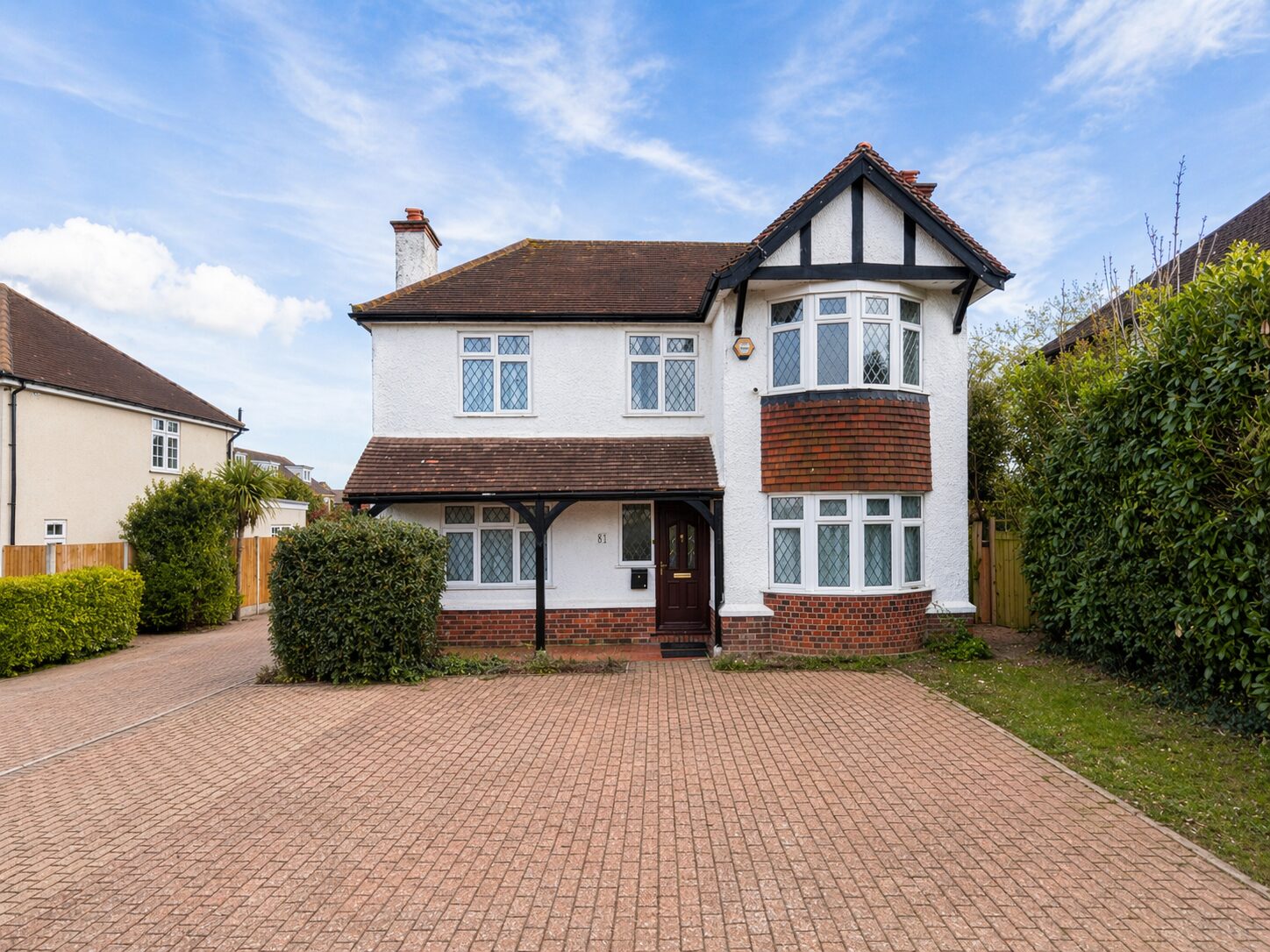
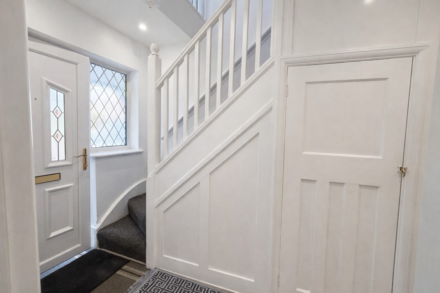
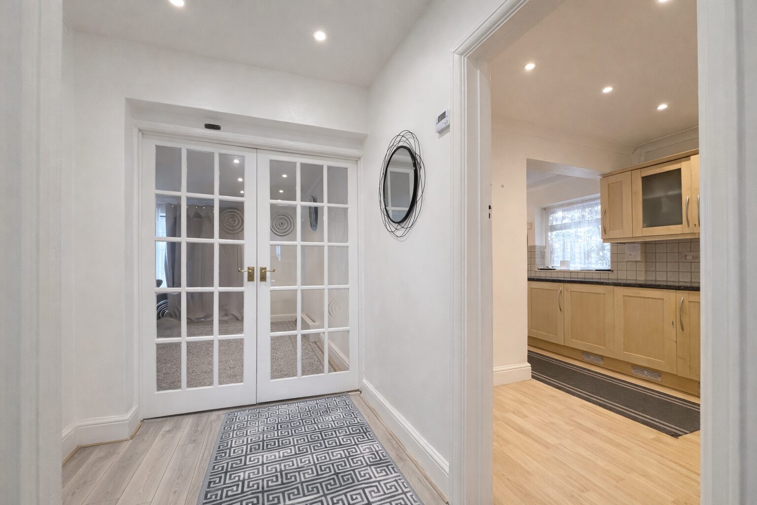
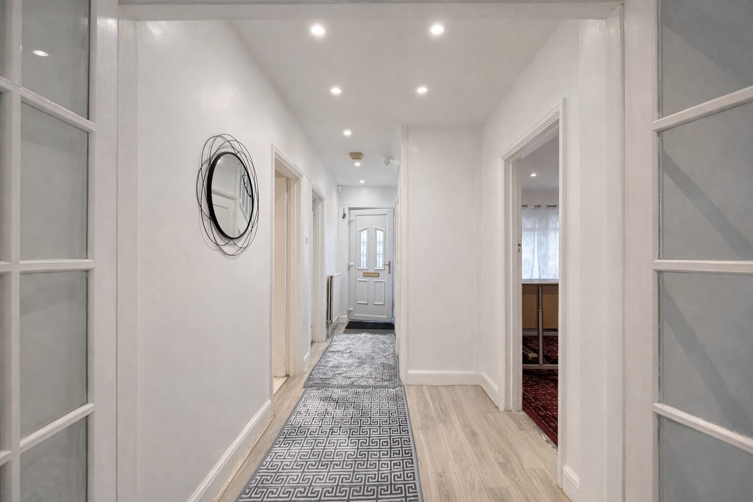
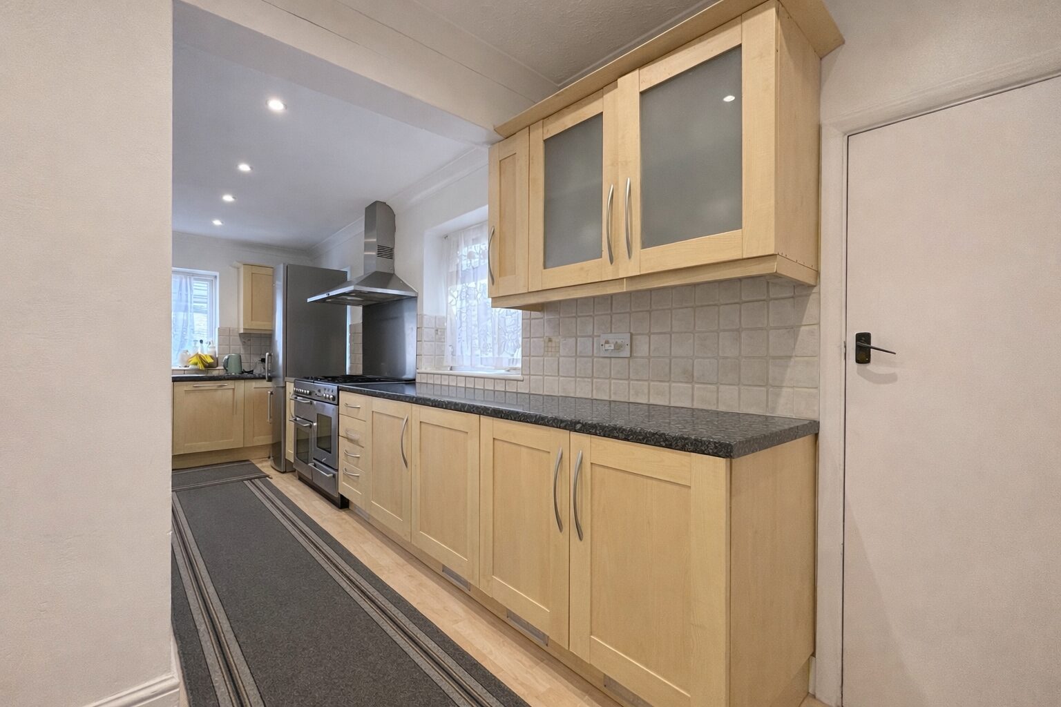
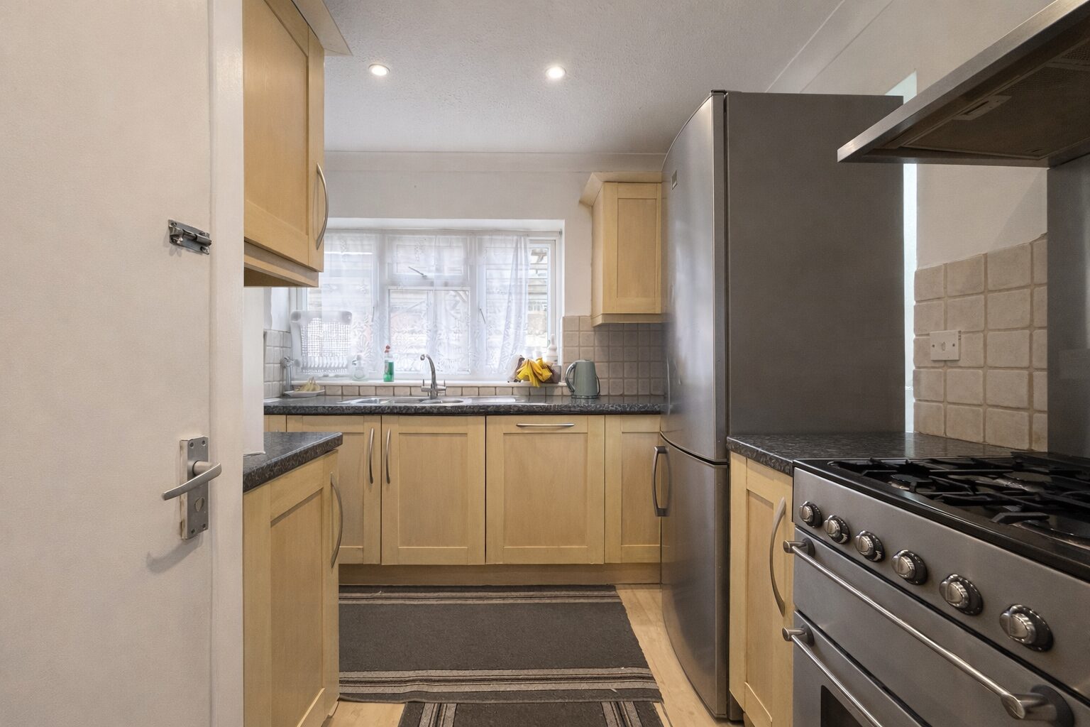
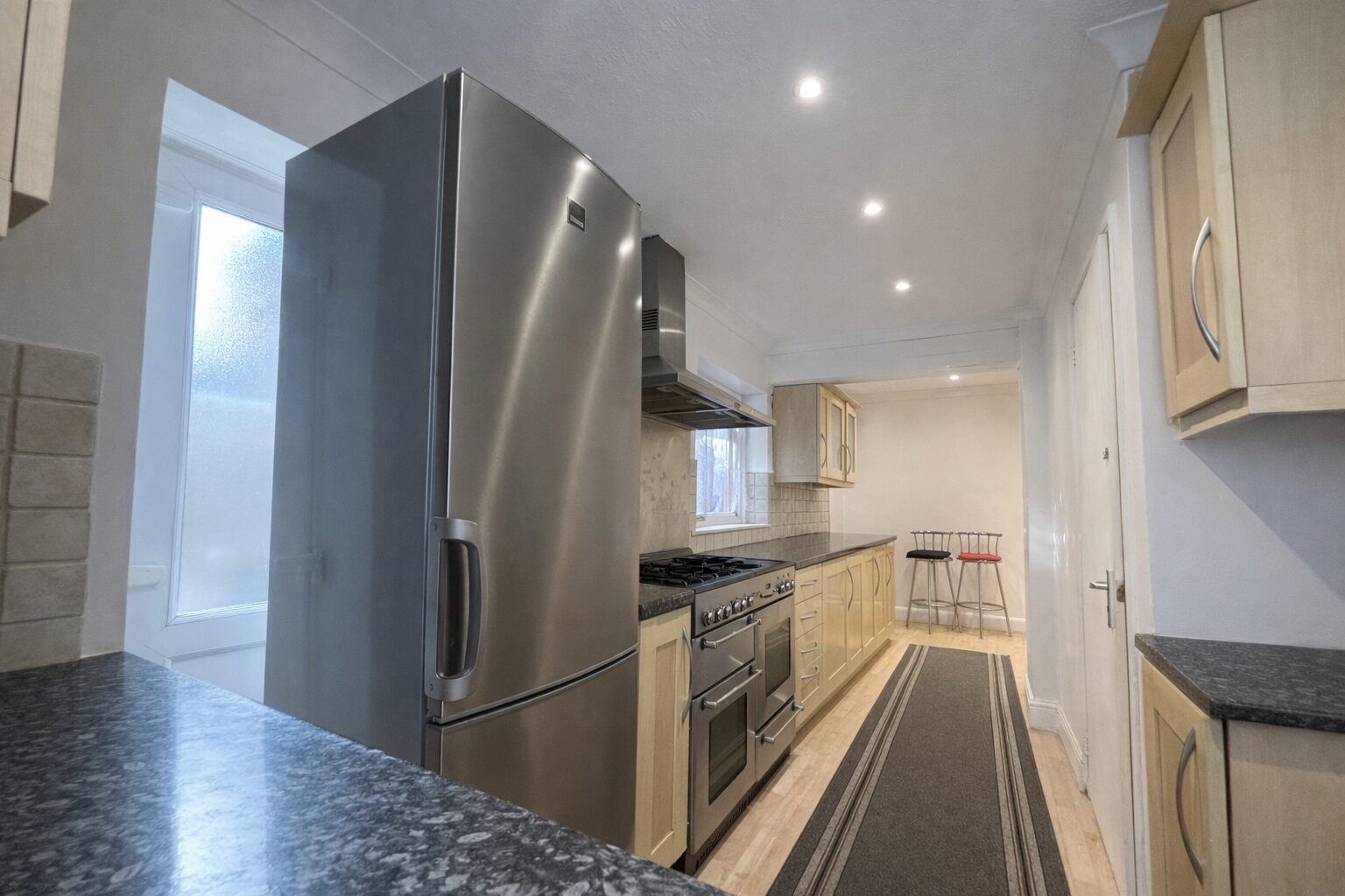
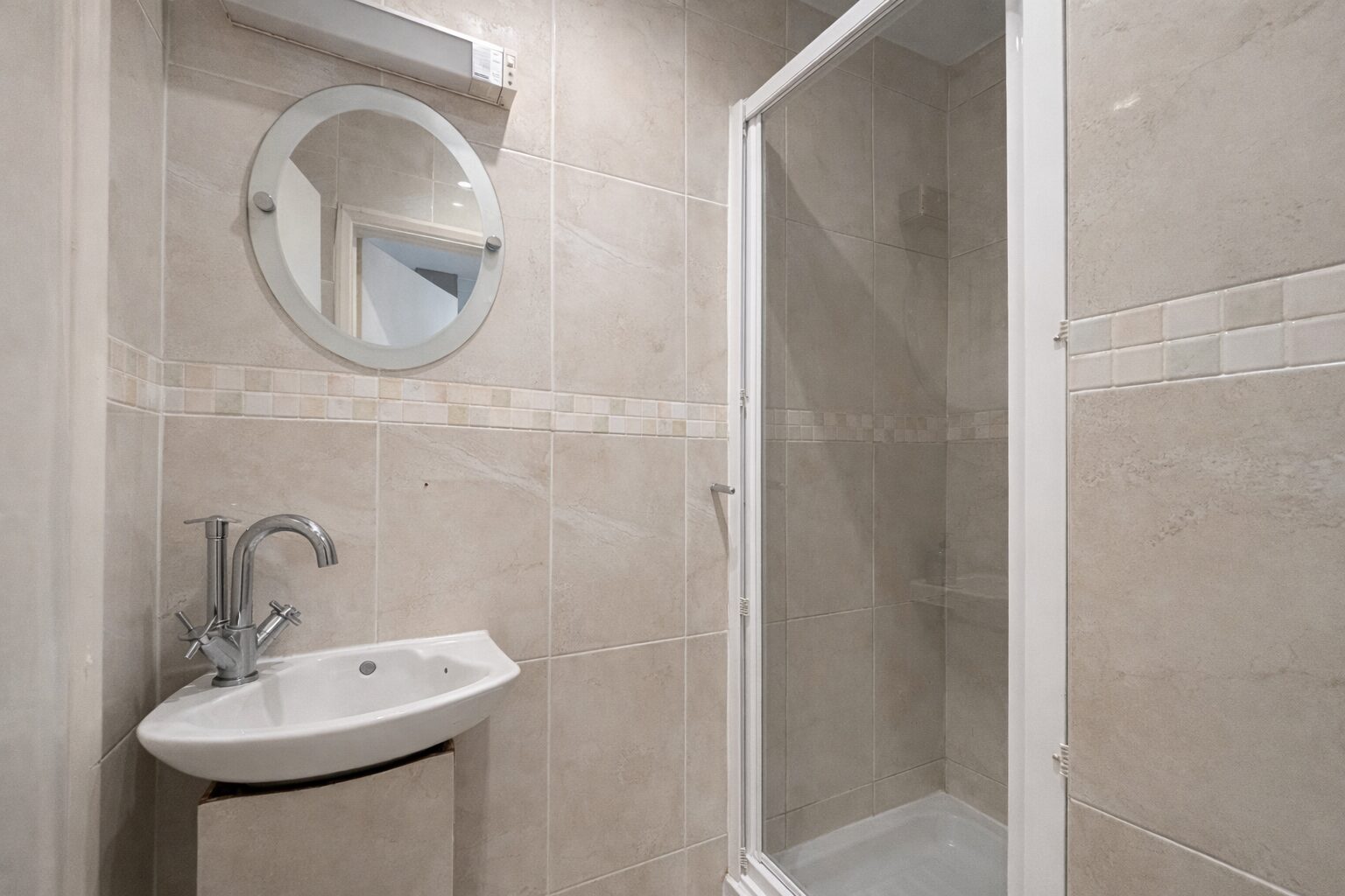
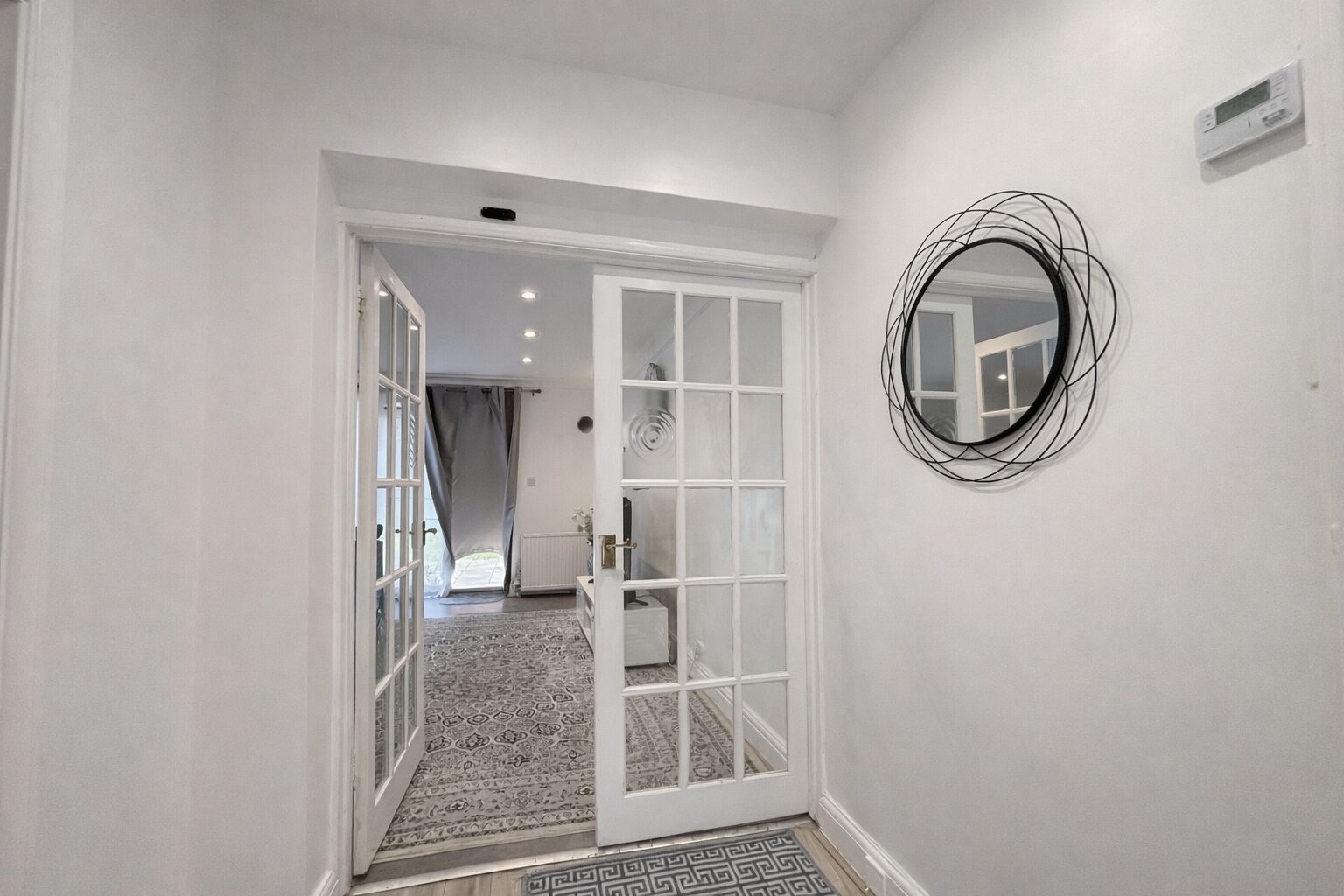
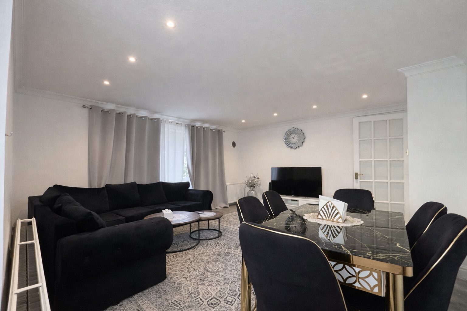
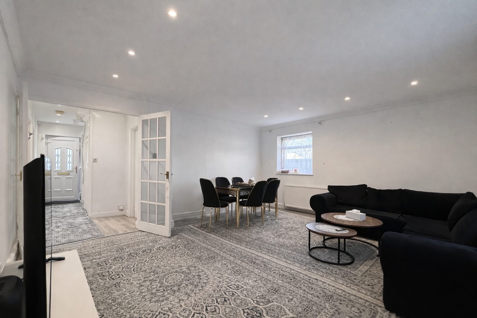
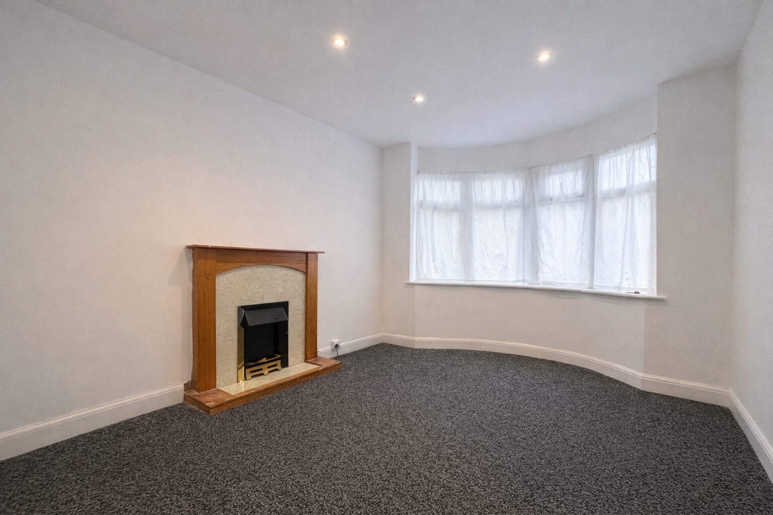
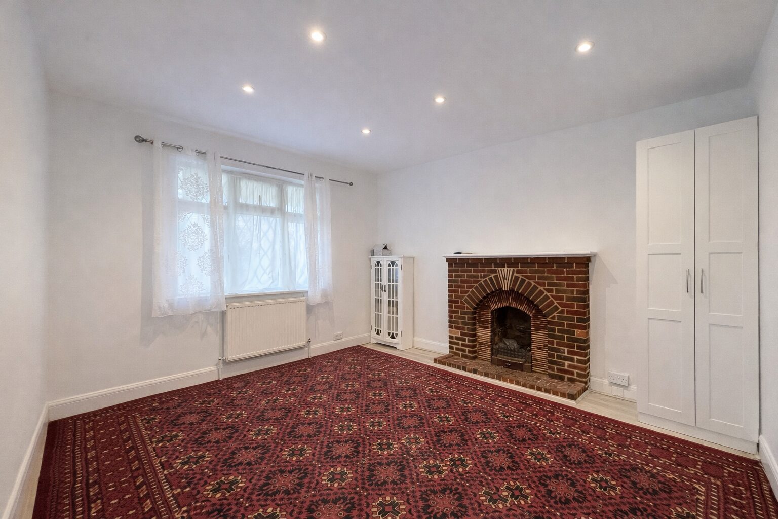
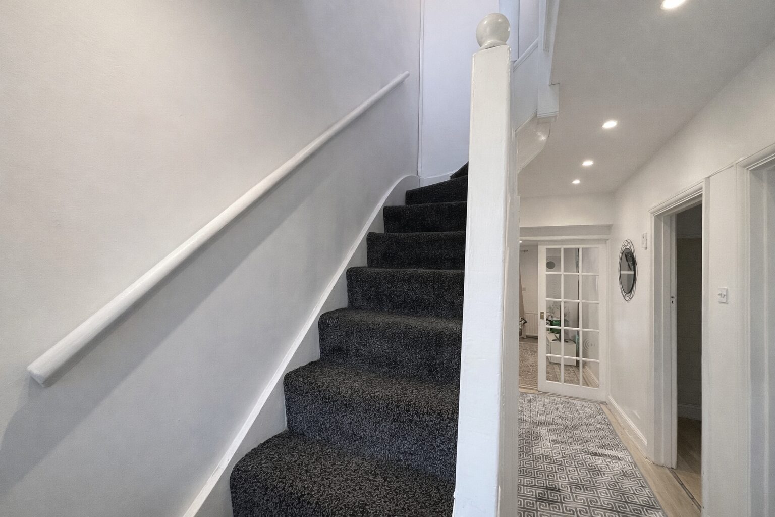
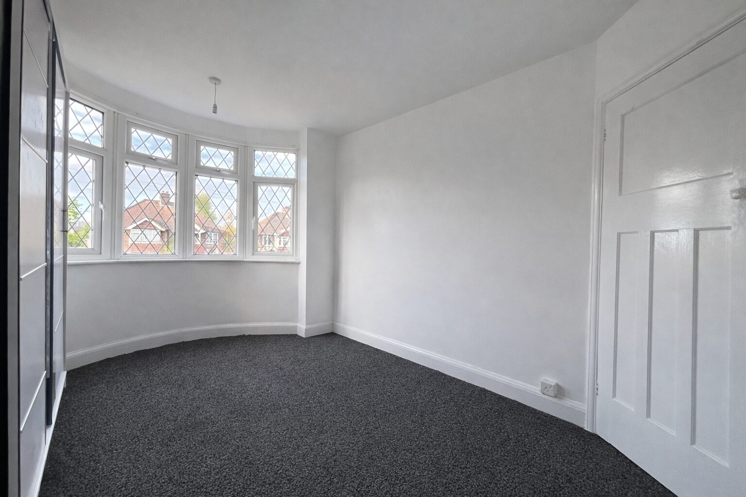
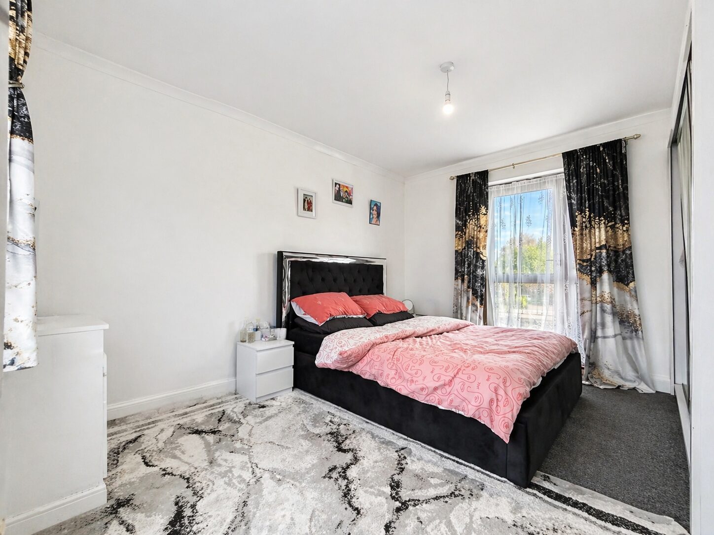
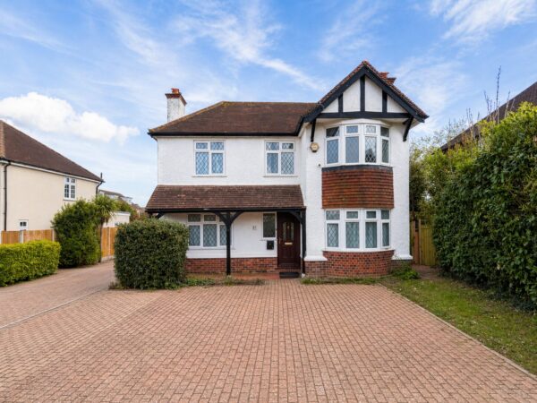
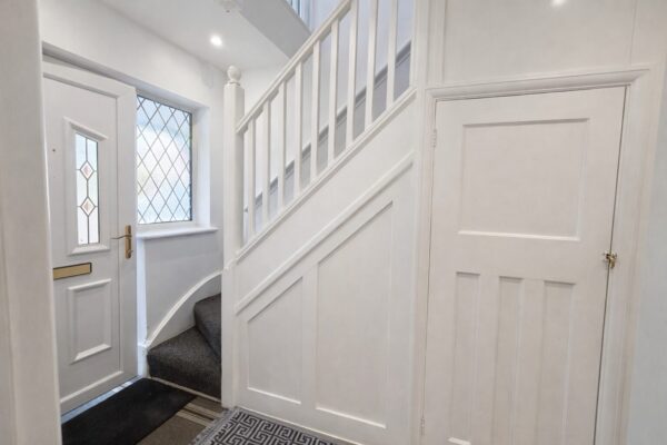
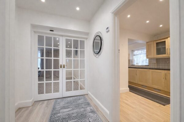
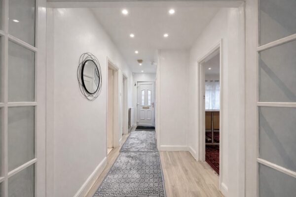
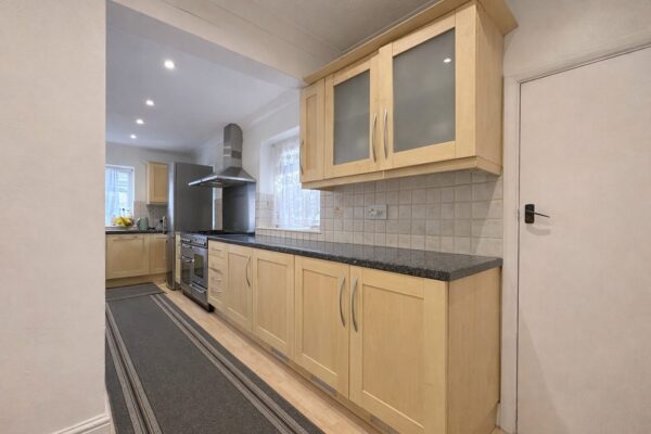
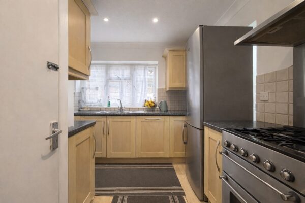
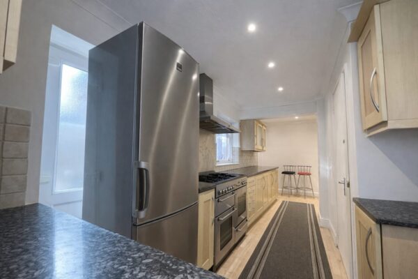
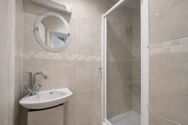
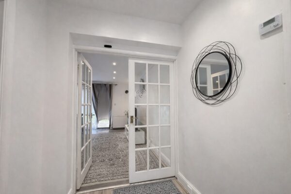
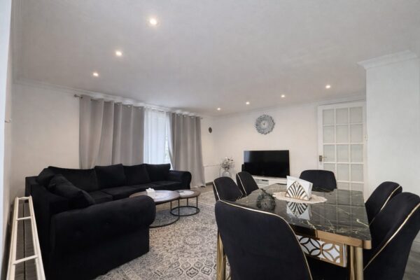
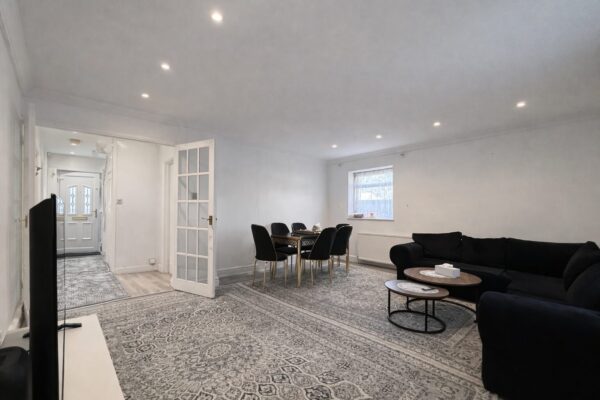
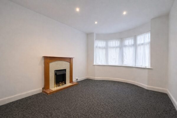
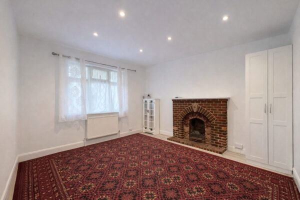
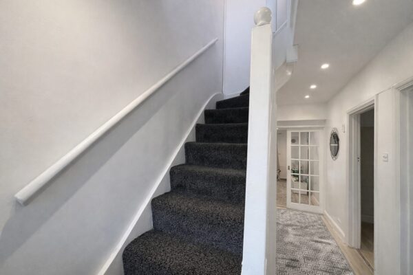
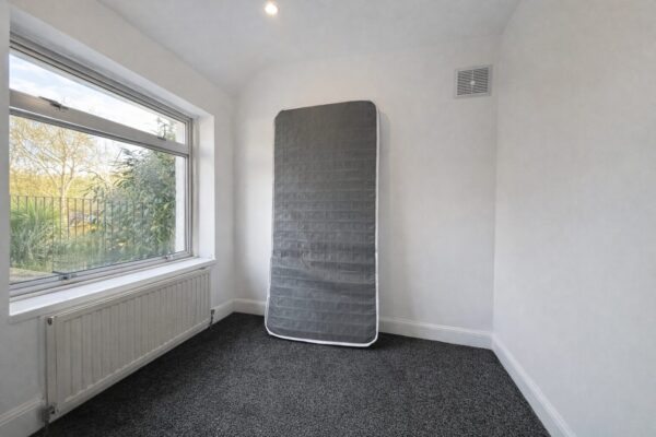
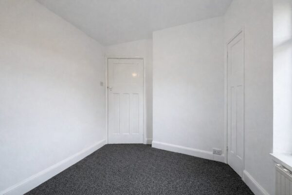
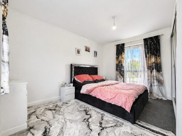
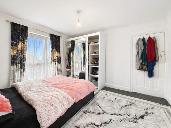
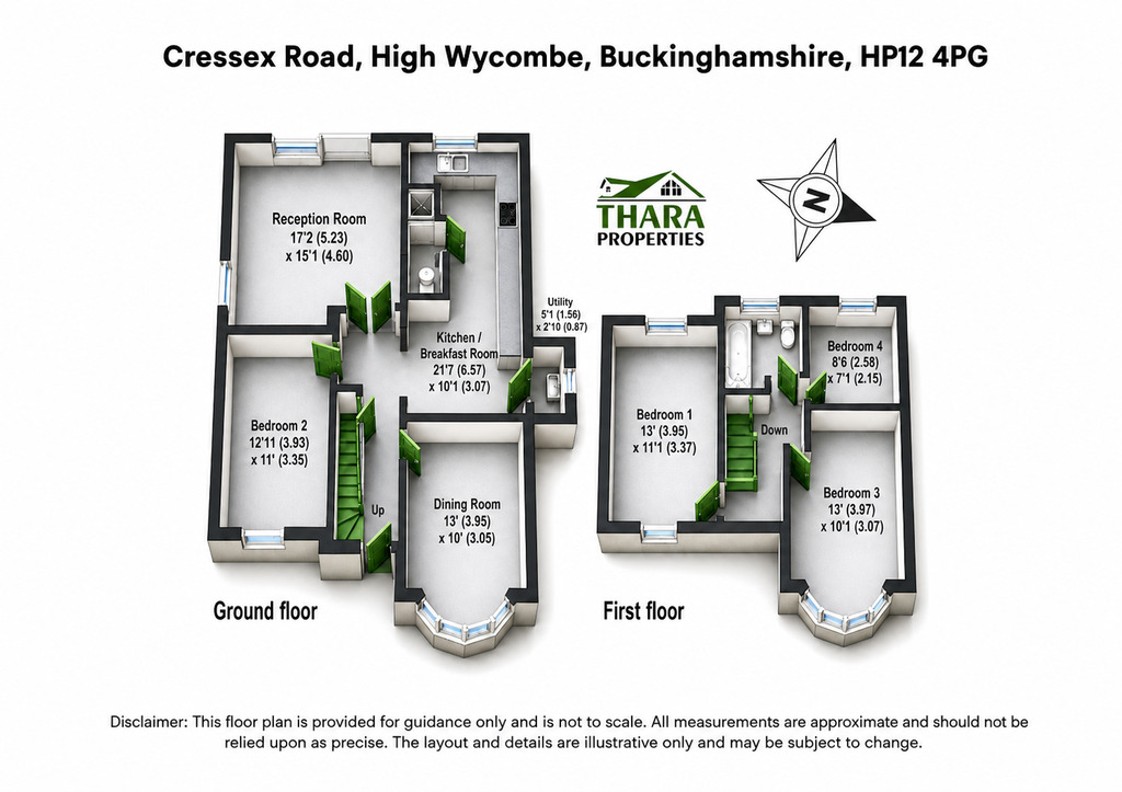
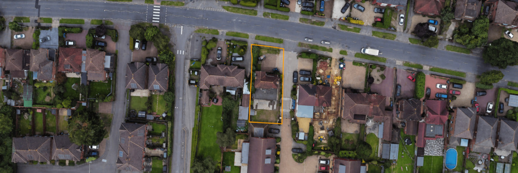
Spacious four-bedroom detached family home, set on a generous plot along the popular Cressex Road, to the south-west of High Wycombe. The property benefits from excellent transport links, including easy access to Junction 4 of the M40.This attractive home comprises a welcoming entrance hall, a modern fitted kitchen, a spacious reception room, a separate dining room, a contemporary shower room, and a ground-floor bedroom.
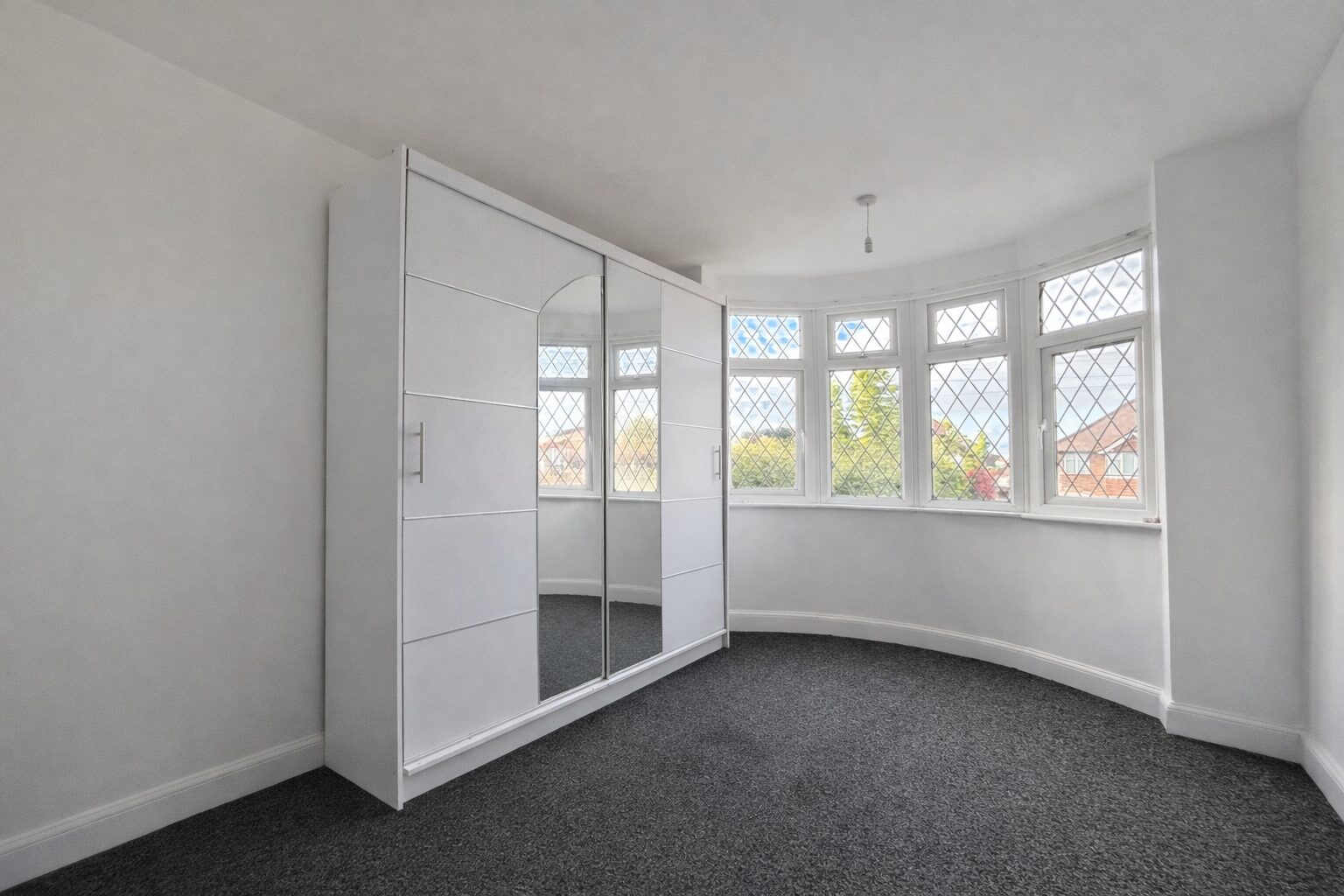
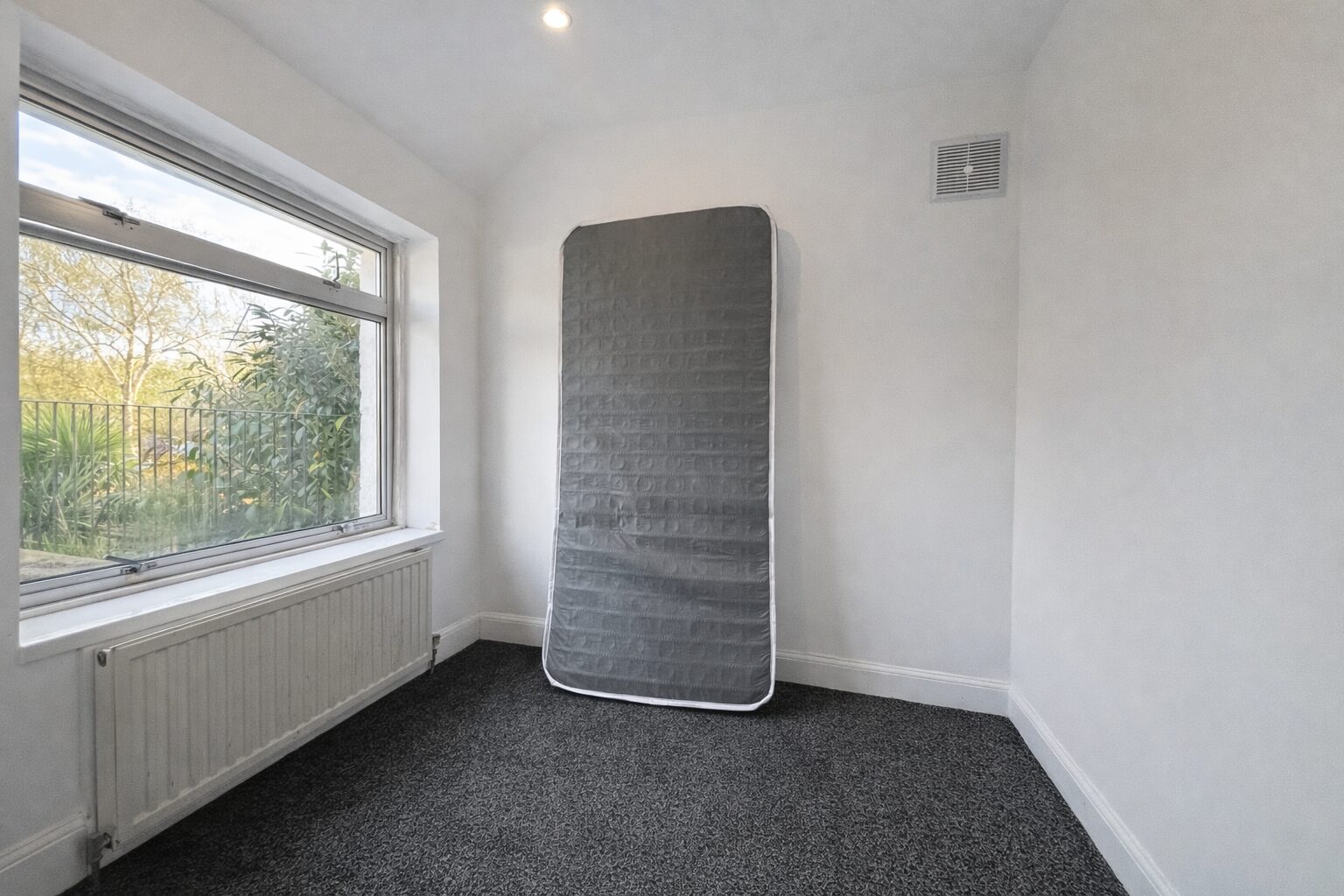
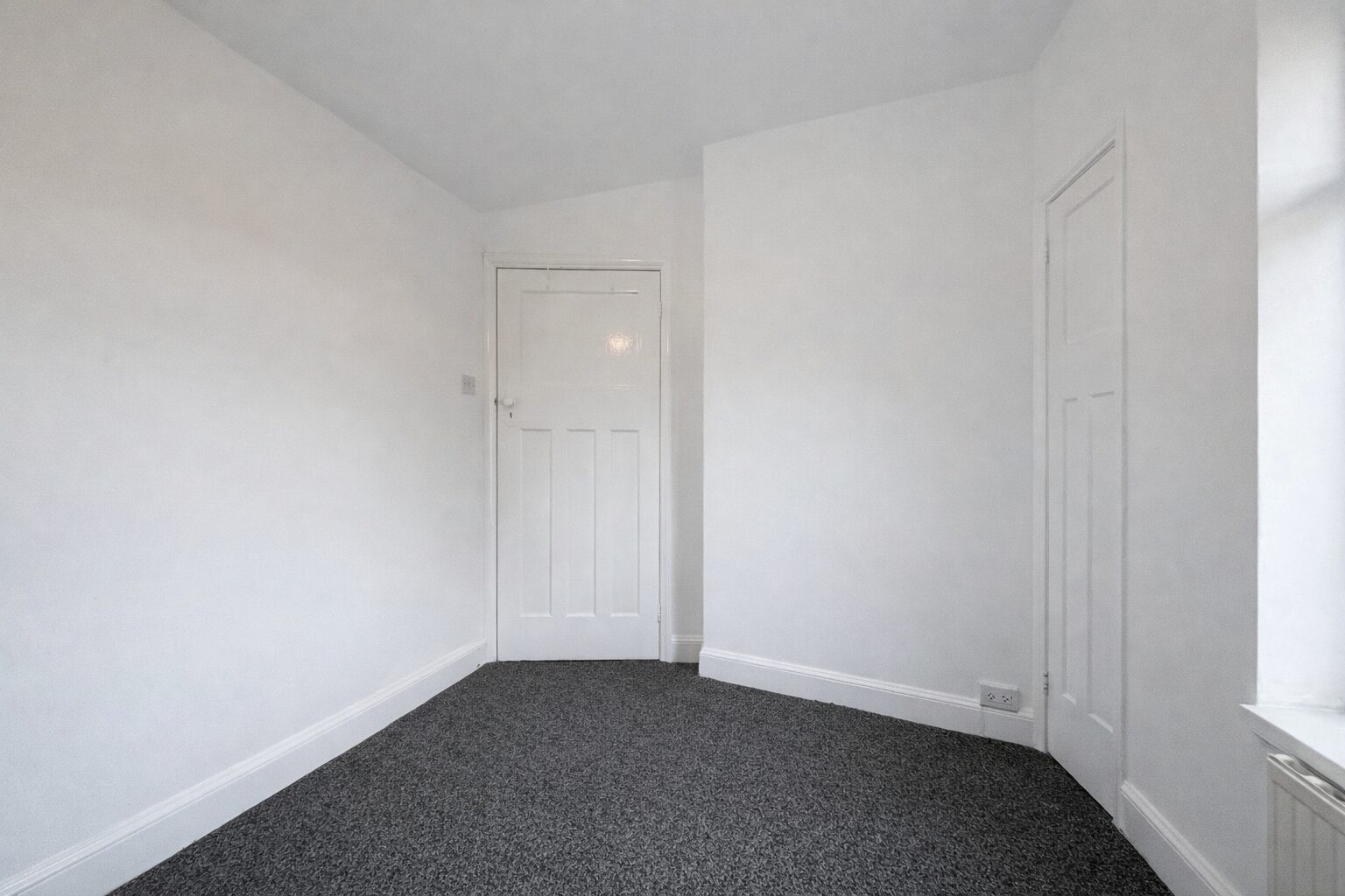
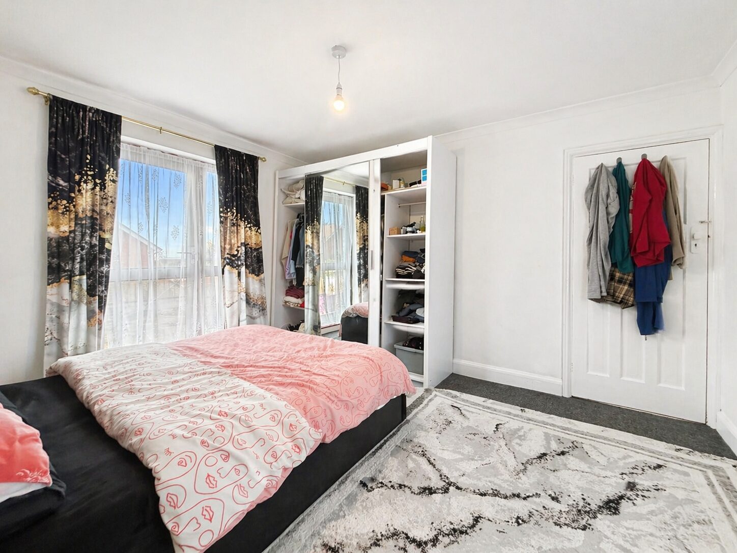
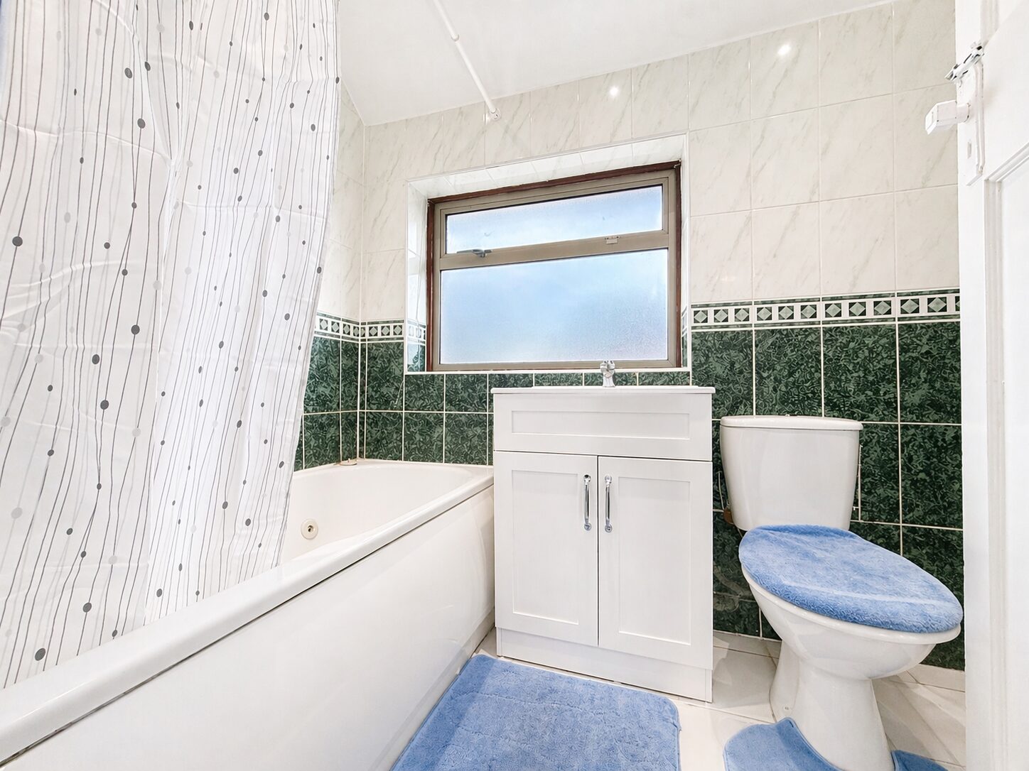
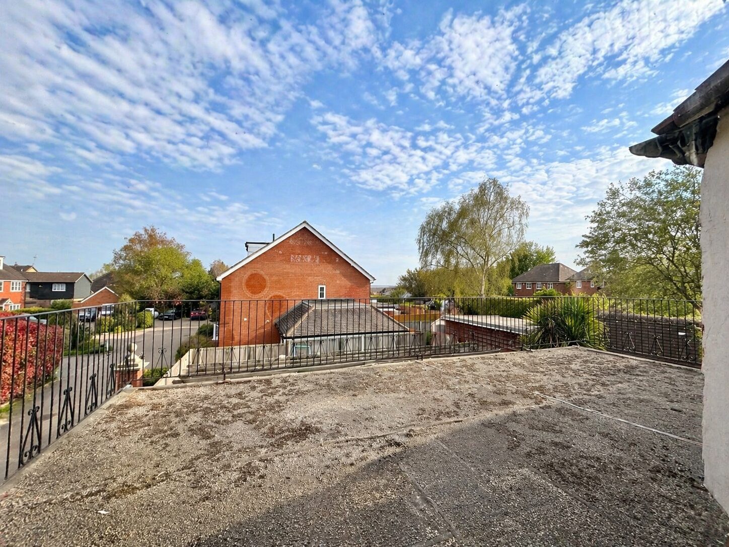
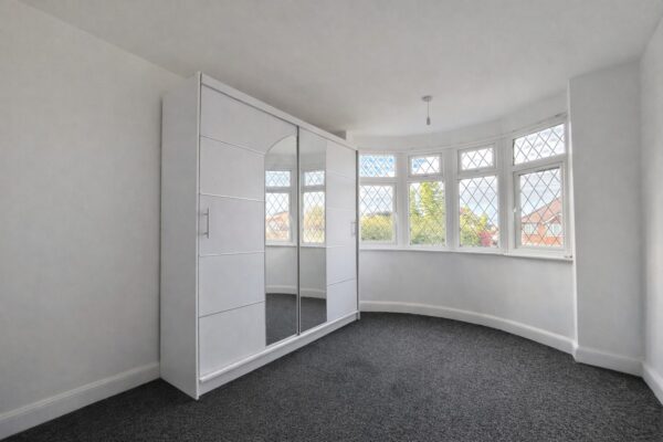
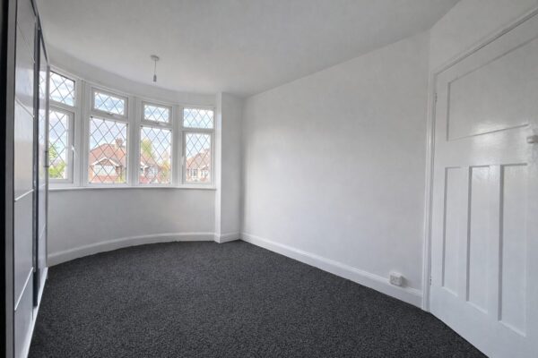
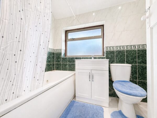
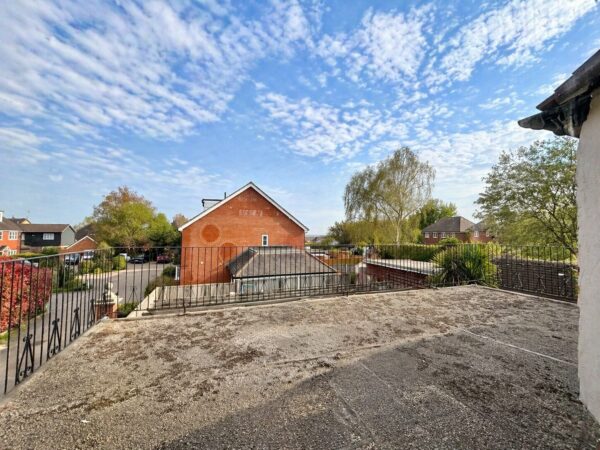
On the first floor, there are three well-proportioned bedrooms, including a principal bedroom with a balcony overlooking the rear garden, along with a further modern family bathroom.
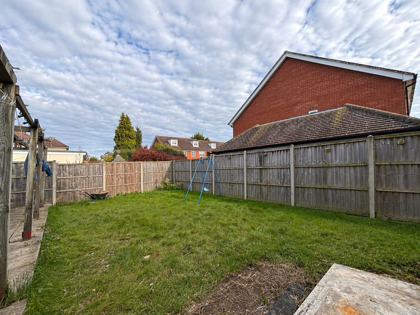
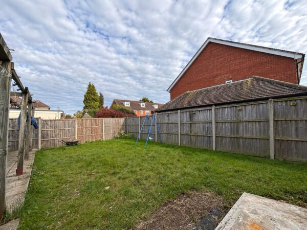
Externally, the property offers a good-sized rear garden and ample off-street parking.
This property is advised freehold and chain free.
Floor Plans
Ultrafast / Gigabit Broadband (300+ Mbps)
Strong Indoor & Outdoor 4G / Voice (All Providers)
Based on average Indoor & Outdoor data from the Local Authority
Nearest Local Schools & Transport Links
| School Name | Age | Distance | |
|---|---|---|---|
| Chepping View Primary Academy | 4-11 | 0.1 mi | |
| Kite Ridge School | 11-19 | 0.2 mi | |
| Chiltern Wood School | 3-19 | 0.2 mi | |
| John Hampden Grammar School | 11-18 | 0.3 mi | |
| Wycombe High School | 11-18 | 0.5 mi | |
| Cressex Community School | 11-18 | 0.6 mi | |
| St Michael's Catholic School | 3-19 | 0.7 mi | |
| Castlefield School | 2-11 | 0.8 mi | |
| Booker Hill Primary School & Nursery | 3-11 | 1.0 mi | |
| Oakridge School | 2-11 | 1.0 mi |
| Station Name | Distance | |
|---|---|---|
| High Wycombe Rail Station | 1.5 mi | |
| Marlow Rail Station | 3.1 mi | |
| Bourne End Rail Station | 3.7 mi | |
| Cookham Rail Station | 4.6 mi | |
| Saunderton Rail Station | 4.8 mi | |
| Beaconsfield Rail Station | 5.5 mi | |
| Furze Platt Rail Station | 6.0 mi | |
| Great Missenden Rail Station | 6.6 mi | |
| Maidenhead Rail Station | 7.0 mi | |
| Seer Green Rail Station | 7.1 mi |
| Bus Stop Name | Distance | |
|---|---|---|
| o/s 9 - Cressex Road East | 0.1 mi | |
| Opp 3 - Cressex Road East | 0.1 mi | |
| adj - Verney Avenue | 0.1 mi | |
| o/s 73 - Marlow Road | 0.1 mi | |
| Opp - Verney Avenue | 0.1 mi | |
| opp 61 - Marlow Road | 0.2 mi | |
| o/s - Empire Cinema | 0.2 mi | |
| Next | 0.2 mi | |
| Eastbound - John Hall Way | 0.2 mi | |
| adj - Rupert Avenue | 0.2 mi |
| Airport Name | Distance | |
|---|---|---|
| London Heathrow Airport | 16.8 mi | |
| London Luton Airport | 24.9 mi | |
| London Oxford Airport | 27.6 mi | |
| London City Airport | 36.2 mi | |
| Biggin Hill Airport | 39.9 mi | |
| London Gatwick Airport | 41.2 mi | |
| London Stansted Airport | 48.2 mi | |
| Southampton Airport | 52.6 mi | |
| Cambridge Airport | 57.6 mi | |
| Shoreham Brighton City Airport | 58.0 mi |