1 Bed Apartment, Birches Rise, High Wycombe, Buckinghamshire, HP12 3AQ
High Wycombe
£1,125 pcm
1 x
1 x
1 x
Department:
Lettings
Reference:
01810837210
Postcode:
HP12 3AQ
Type:
Flat / Apartment
Marketing Flag:
New Instruction
Availability:
To Let
Receptions:
1
Furnished:
Unfurnished
Deposit:
£1,298.07
Available Date:
2026-11-04
Council Tax Band:
B
Summary
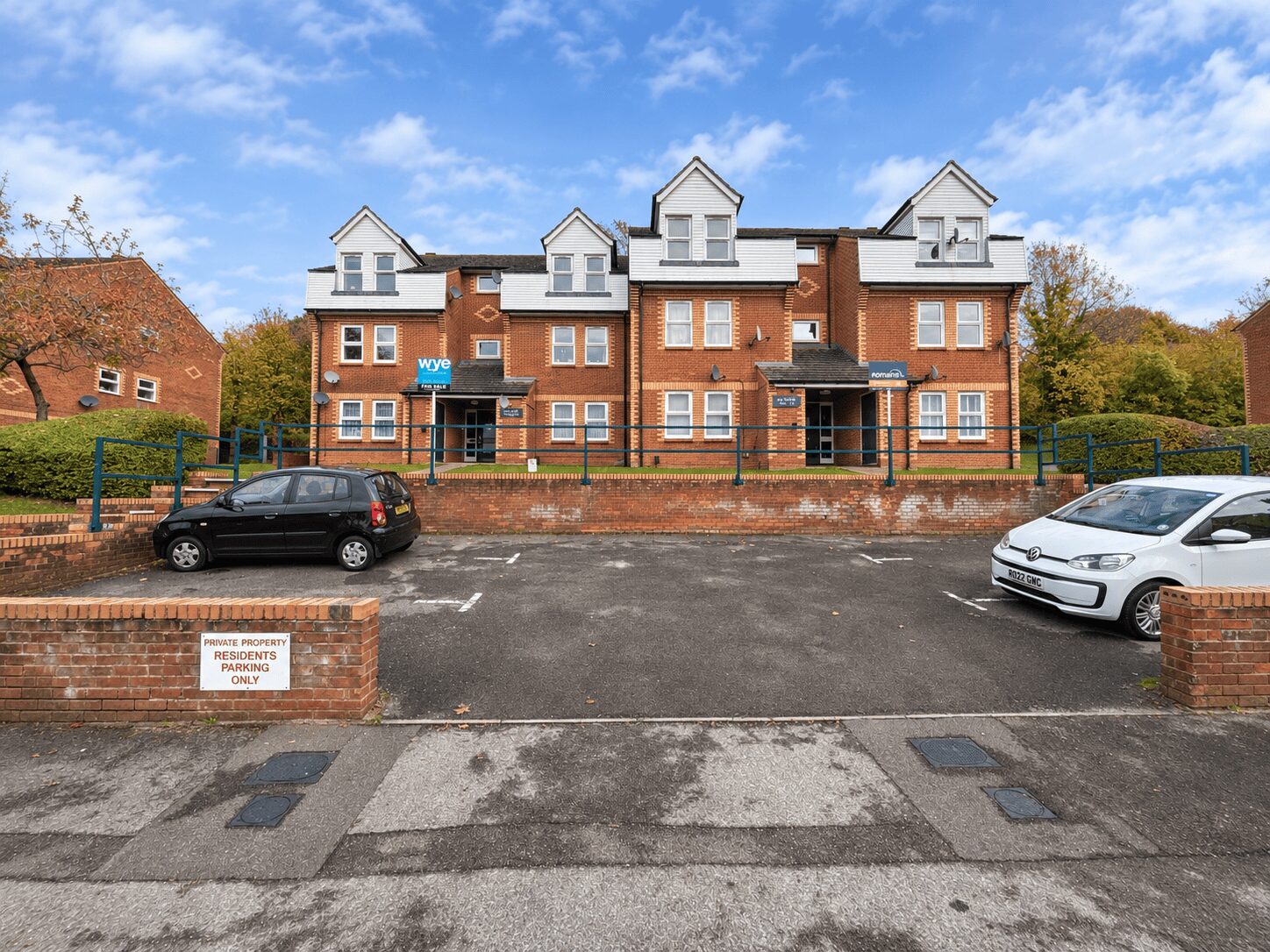
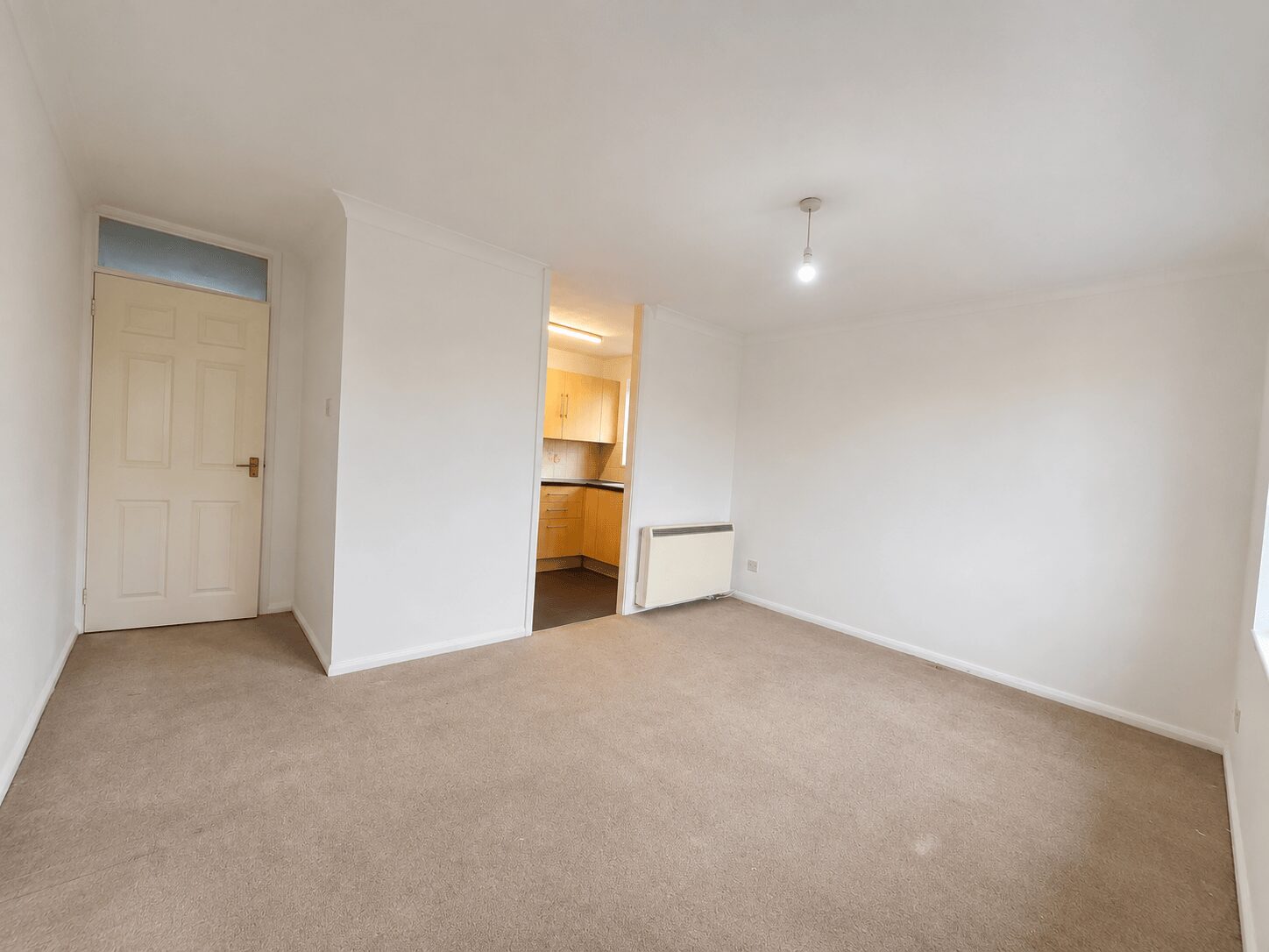
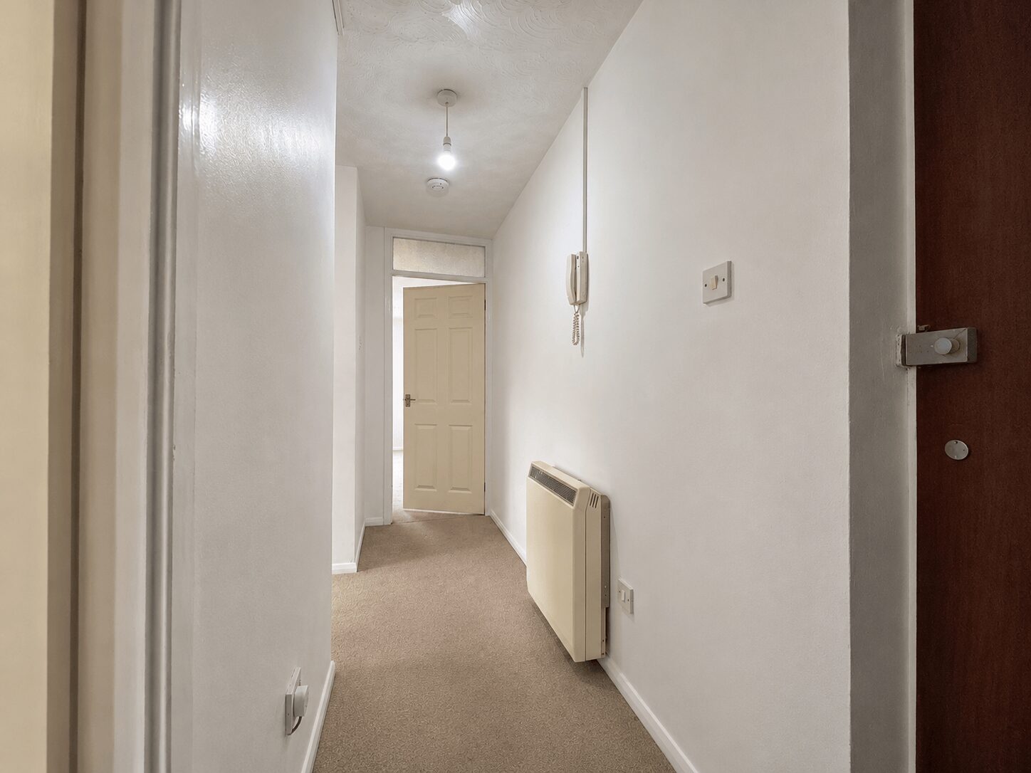
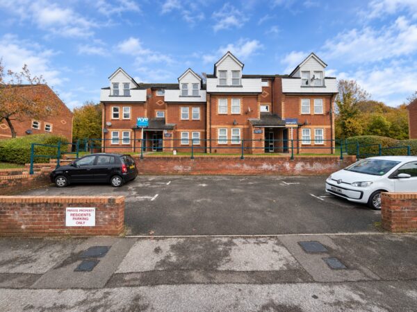
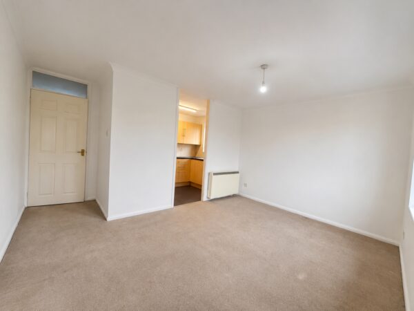
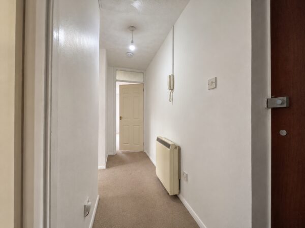
Thara Properties are pleased to market this beautifully presented one-bedroom first-floor apartment, situated within a modern residential development just off the popular West Wycombe Road.The property is conveniently located, offering easy access to High Wycombe town centre, the Sands area and West Wycombe.
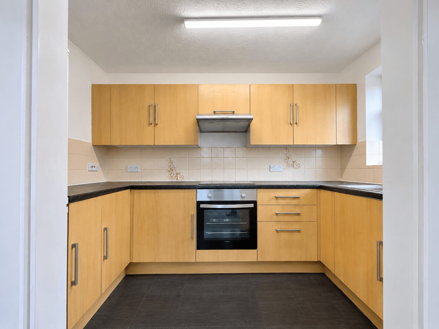
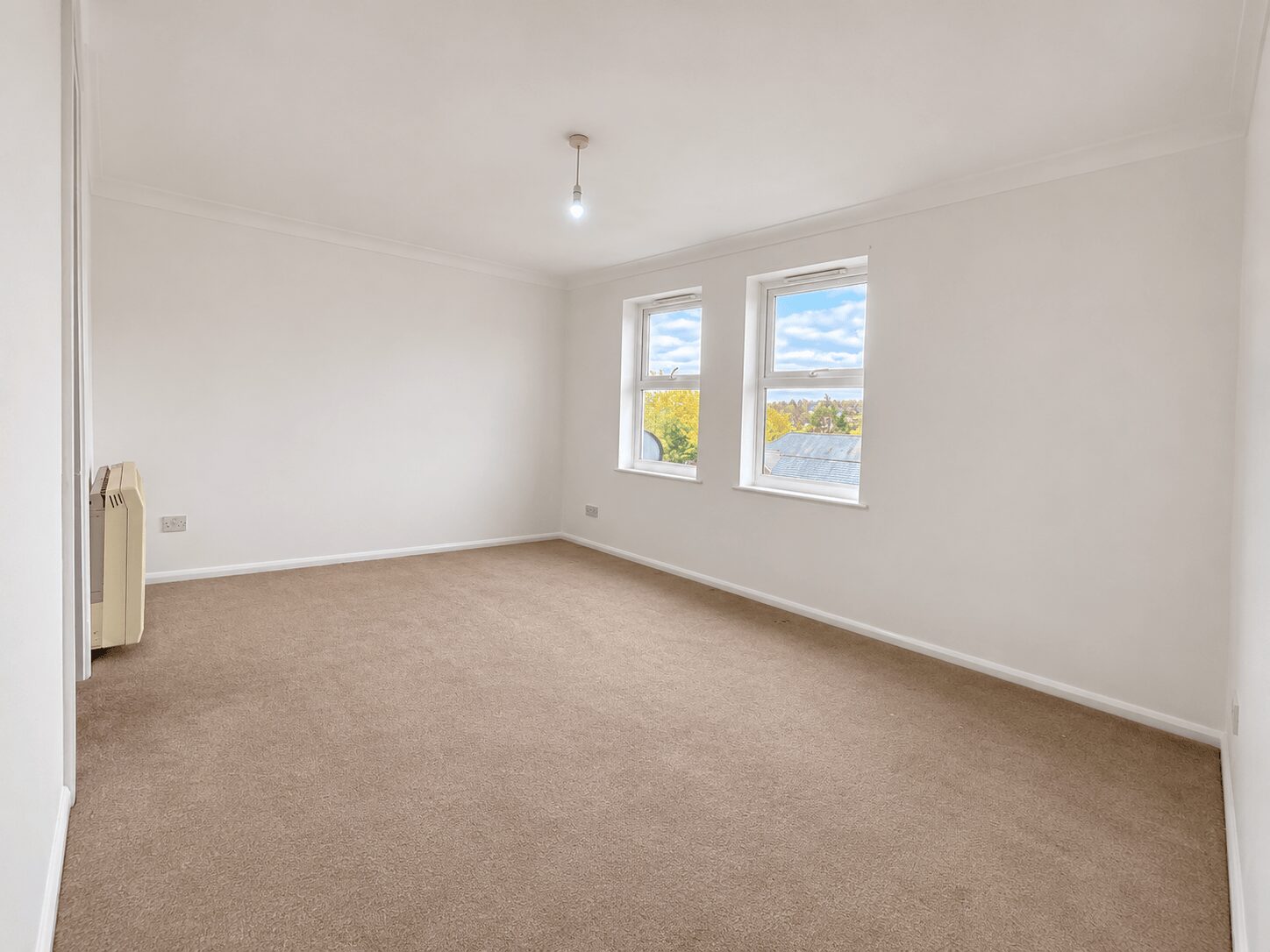
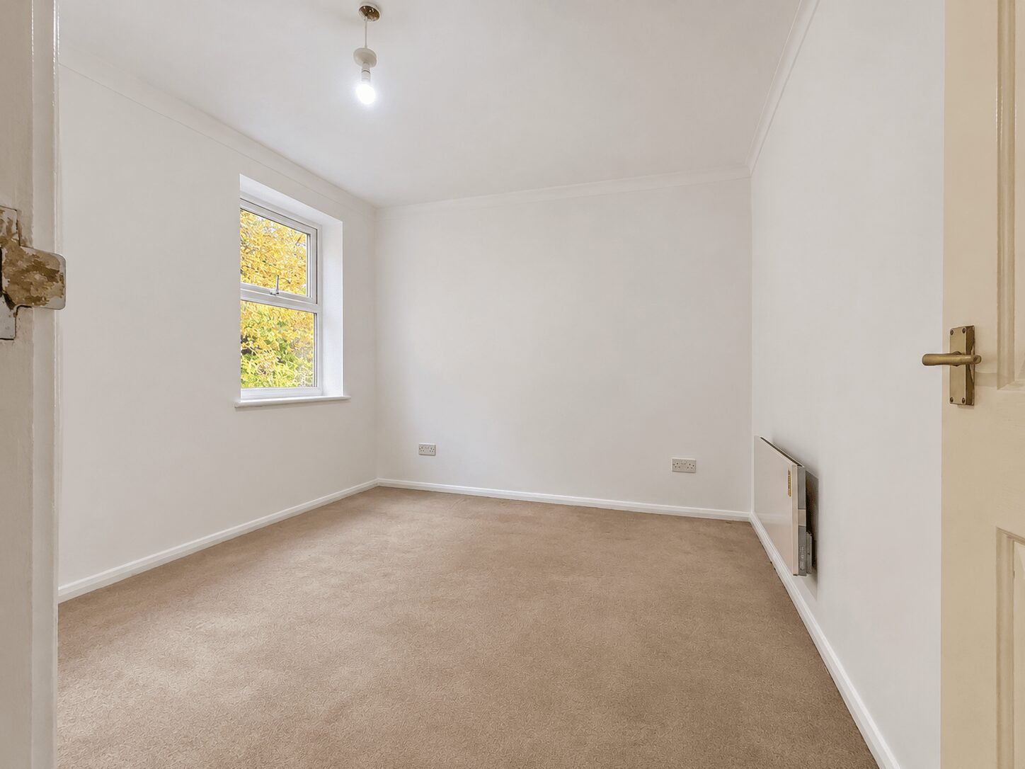
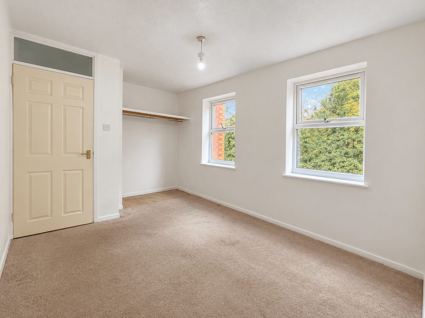
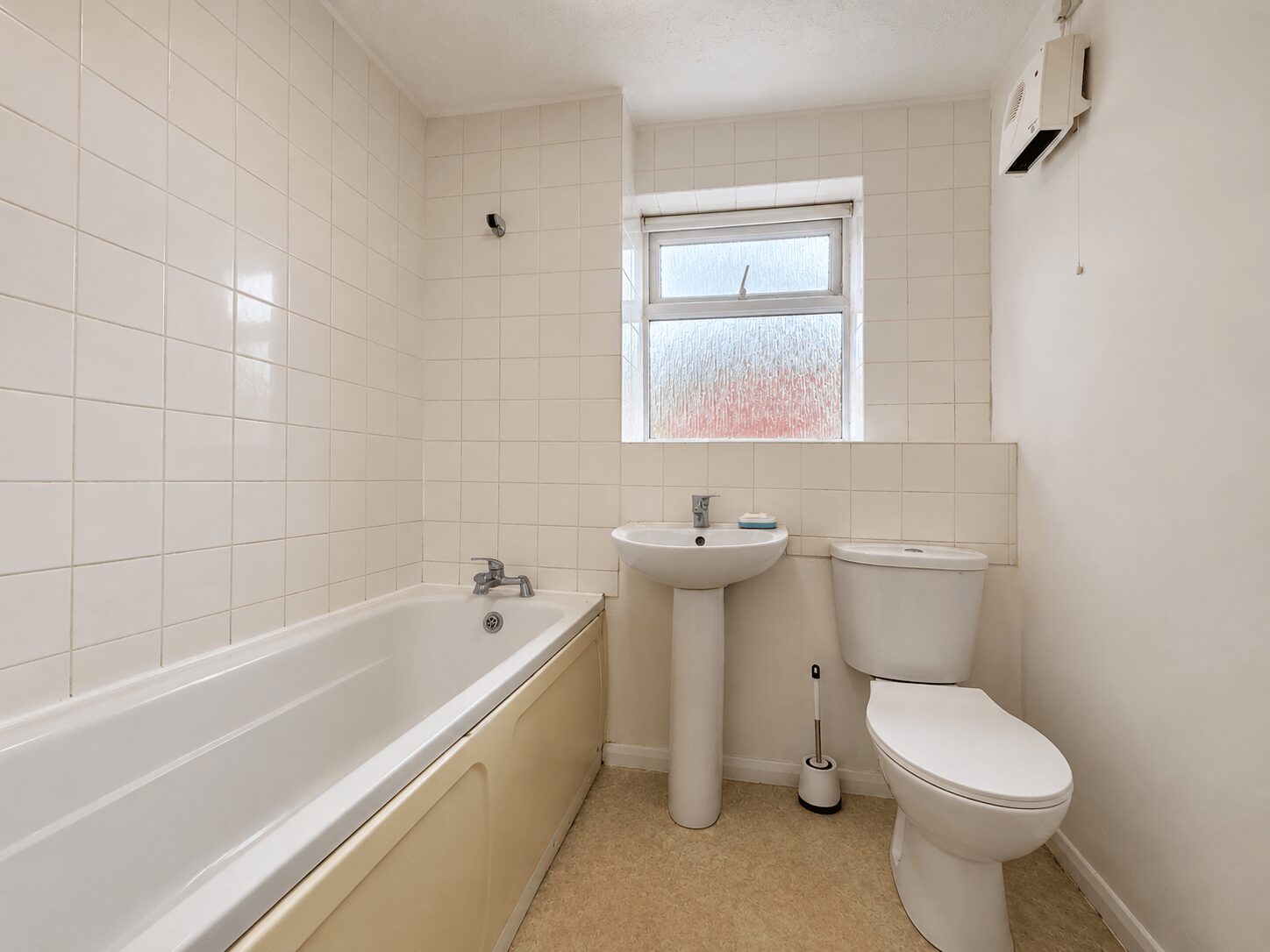
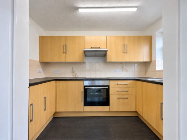
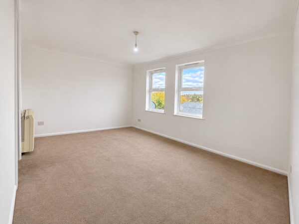
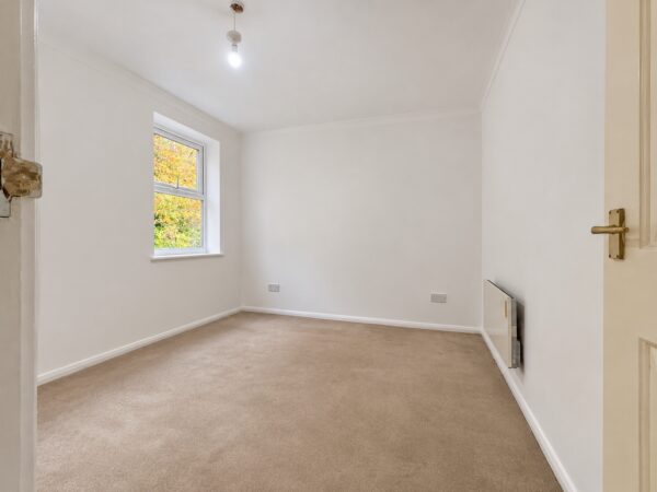
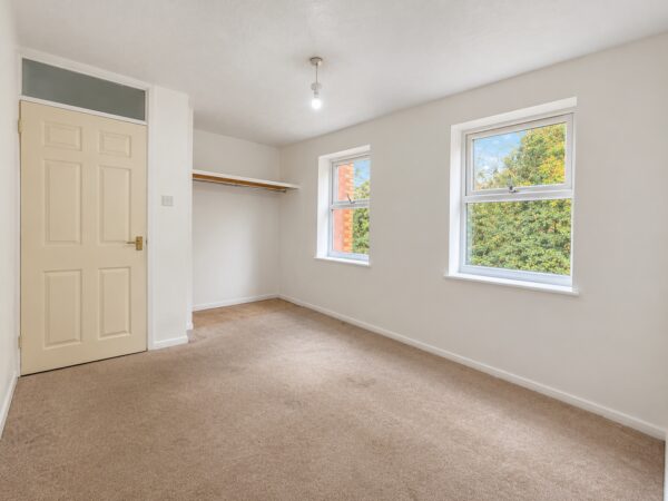
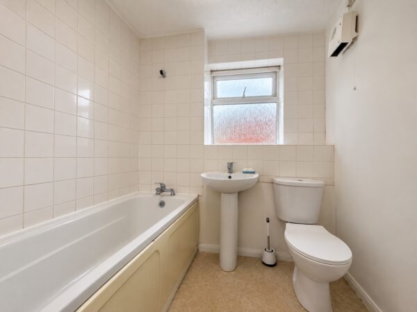
Recently redecorated throughout, the apartment offers a spacious lounge, a modern fitted kitchen, a well-presented bathroom and a generously sized double bedroom benefiting from a fitted wardrobe.
Externally, the development benefits from allocated residents' parking.
Council Tax Band - B
EPC Rating - D
Rent - £1125 PCM
Deposit - 5 Weeks Rent
Available from 25th November 2026 on an unfurnished basis.
Holding Deposit (per tenancy): One week's rent. This is to reserve a property. Please Note: This will be withheld if any relevant person (including any guarantor(s)) withdraw from the tenancy, fail a Right- to-Rent check, provide materially significant false or misleading information, or fail to sign their tenancy agreement (and / or Deed of Guarantee) within 15 calendar days (or other Deadline for Agreement as mutually agreed in writing).
Ultrafast / Gigabit Broadband (300+ Mbps)
Strong Indoor & Outdoor 4G / Voice (All Providers)
Based on average Indoor & Outdoor data from the Local Authority
Nearest Local Schools & Transport Links
| School Name | Age | Distance | |
|---|---|---|---|
| Unity College | 11-18 | 0.1 mi | |
| The Disraeli School | 2-11 | 0.3 mi | |
| Millbrook Combined School | 3-11 | 0.4 mi | |
| Oakridge School | 2-11 | 0.5 mi | |
| The Downley School | 4-11 | 0.9 mi | |
| High Wycombe Church of England Combined School | 4-11 | 0.9 mi | |
| Hamilton Academy | 3-11 | 0.9 mi | |
| Castlefield School | 2-11 | 0.9 mi | |
| Buckinghamshire New University | - | 1.1 mi | |
| Progress Schools - Buckinghamshire | 13-16 | 1.1 mi |
| Station Name | Distance | |
|---|---|---|
| High Wycombe Rail Station | 1.2 mi | |
| Saunderton Rail Station | 3.5 mi | |
| Marlow Rail Station | 4.6 mi | |
| Bourne End Rail Station | 4.9 mi | |
| Great Missenden Rail Station | 5.3 mi | |
| Beaconsfield Rail Station | 5.7 mi | |
| Cookham Rail Station | 5.9 mi | |
| Princes Risborough Rail Station | 6.4 mi | |
| Monks Risborough Rail Station | 7.2 mi | |
| Seer Green Rail Station | 7.3 mi |
| Bus Stop Name | Distance | |
|---|---|---|
| Opp - Desborough Park Road | 0.0 mi | |
| adj - Desborough Park Road | 0.1 mi | |
| o/s 30 - Cotswold Way | 0.1 mi | |
| o/s 25 - Cotswold Way | 0.1 mi | |
| o/s 51 - Middlebrook Road | 0.2 mi | |
| o/s 32 - Middlebrook Road | 0.2 mi | |
| o/s 87 - Brecon Way | 0.2 mi | |
| o/s - Pastures Church | 0.2 mi | |
| Opp - Pastures Church | 0.2 mi | |
| opp 87 - Brecon Way | 0.2 mi |
| Airport Name | Distance | |
|---|---|---|
| London Heathrow Airport | 17.7 mi | |
| London Luton Airport | 23.8 mi | |
| London Oxford Airport | 26.9 mi | |
| London City Airport | 36.5 mi | |
| Biggin Hill Airport | 40.6 mi | |
| London Gatwick Airport | 42.4 mi | |
| London Stansted Airport | 47.6 mi | |
| Southampton Airport | 53.9 mi | |
| Cambridge Airport | 56.5 mi | |
| Coventry Airport | 58.7 mi |