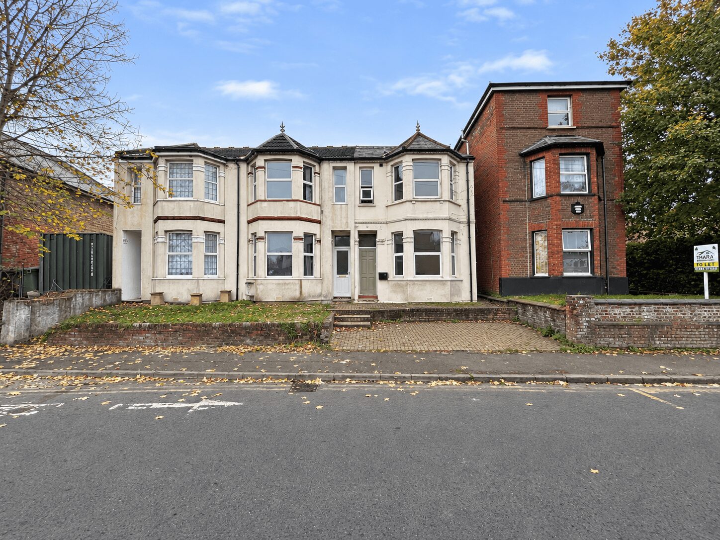
2 Bed Flat, Desborough Rd, High Wycombe, HP11 2QW
High Wycombe
£1,400 pcm
2 x
1 x
1 x
Department:
Lettings
Reference:
01838323
Postcode:
HP11 2QW
Type:
Flat / Apartment
Marketing Flag:
New Instruction
Availability:
To Let
Receptions:
1
Furnished:
Unfurnished
Deposit:
£1,400
Available Date:
2026-11-20
Council Tax Band:
B
Summary
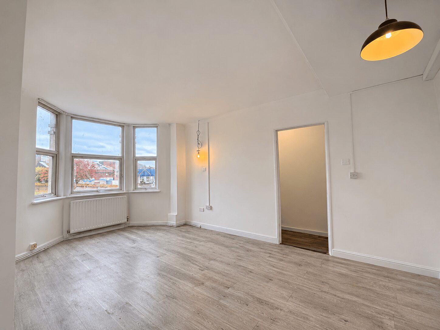
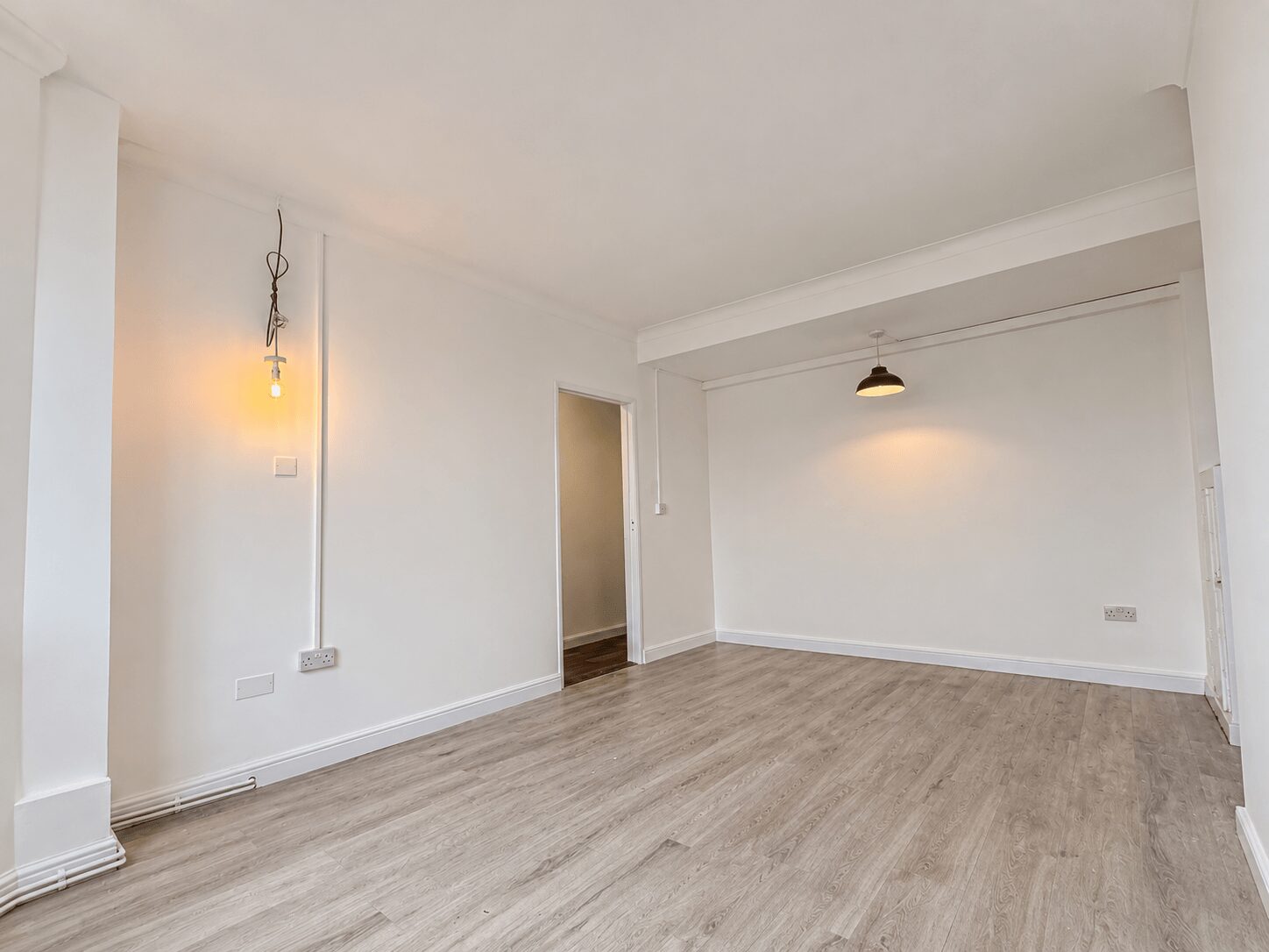
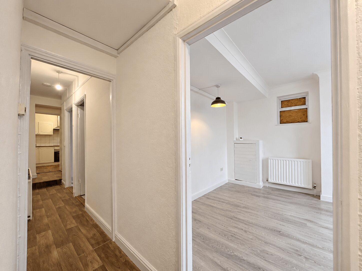
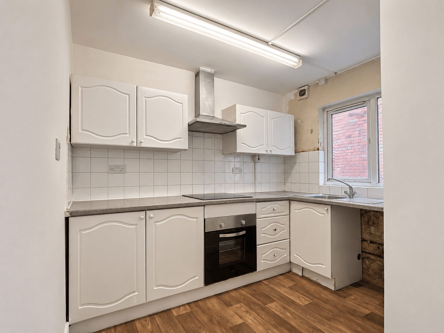
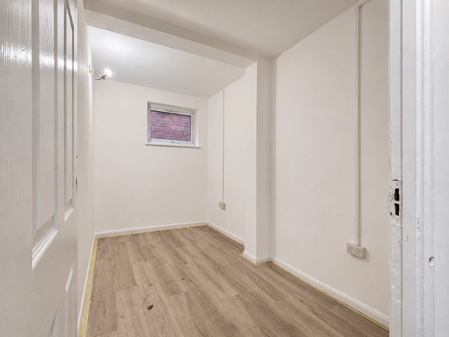
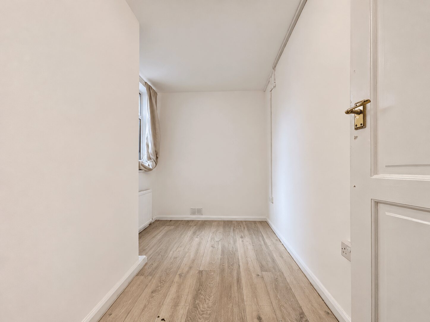
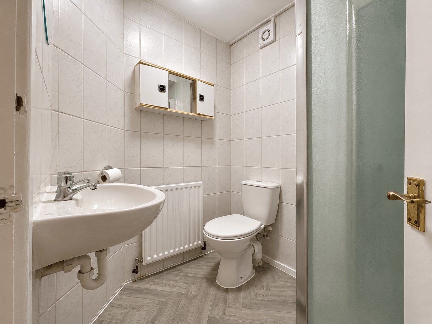
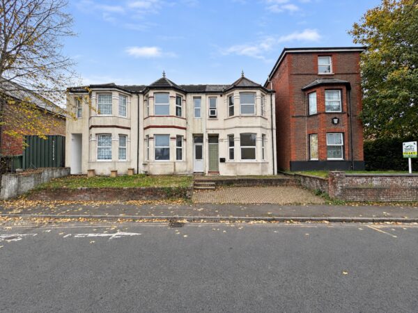
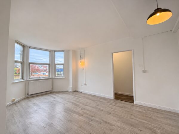
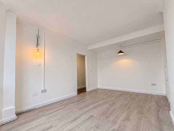
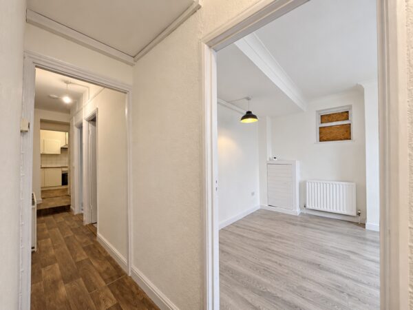
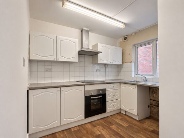
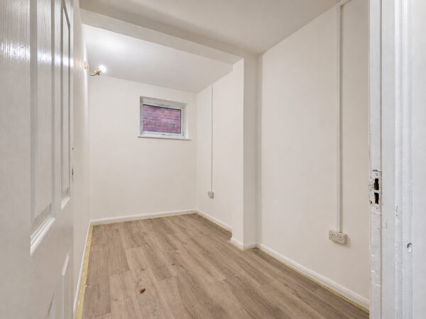
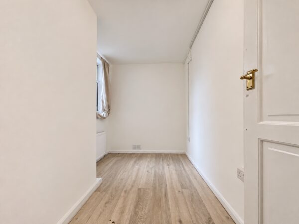
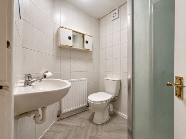
Beautifully presented, recently decorated **two-bedroom ground floor flat**, ideally situated in a popular residential area within walking distance of High Wycombe Town Centre and local schools, including Oakridge School, with convenient access to the M40 Junction 4.The property offers a spacious and well-proportioned lounge, a modern fitted kitchen, a contemporary shower room and two bedrooms.
Further benefits include its convenient ground floor position and proximity to local amenities, schools and transport links. On-street parking is available.
Council Tax Band - B
EPC Checker - C
Rent - £1400 PCM
Deposit - 5 Weeks Rent
Available from 20th November 2026 on an unfurnished basis.
Holding Deposit (per tenancy): One week’s rent. This is to reserve a property. Please Note: This will be withheld if any relevant person (including any guarantor(s)) withdraw from the tenancy, fail a Right- to-Rent check, provide materially significant false or misleading information, or fail to sign their tenancy agreement (and / or Deed of Guarantee) within 15 calendar days (or other Deadline for Agreement as mutually agreed in writing).
Superfast Broadband (30 to 300 Mbps)
Strong Indoor & Outdoor 4G / Voice (All Providers)
Based on average Indoor & Outdoor data from the Local Authority
Nearest Local Schools & Transport Links
| School Name | Age | Distance | |
|---|---|---|---|
| Oakridge School | 2-11 | 0.3 mi | |
| Unity College | 11-18 | 0.4 mi | |
| High Wycombe Church of England Combined School | 4-11 | 0.4 mi | |
| Hamilton Academy | 3-11 | 0.5 mi | |
| The Disraeli School | 2-11 | 0.5 mi | |
| Buckinghamshire New University | - | 0.6 mi | |
| Wycombe Abbey | 10-19 | 0.7 mi | |
| Millbrook Combined School | 3-11 | 0.8 mi | |
| Godstowe Preparatory School | 2-14 | 0.8 mi | |
| Aspire | 11-18 | 0.9 mi |
| Station Name | Distance | |
|---|---|---|
| High Wycombe Rail Station | 0.8 mi | |
| Saunderton Rail Station | 4.0 mi | |
| Marlow Rail Station | 4.2 mi | |
| Bourne End Rail Station | 4.4 mi | |
| Beaconsfield Rail Station | 5.3 mi | |
| Cookham Rail Station | 5.4 mi | |
| Great Missenden Rail Station | 5.5 mi | |
| Seer Green Rail Station | 6.9 mi | |
| Princes Risborough Rail Station | 6.9 mi | |
| Furze Platt Rail Station | 7.0 mi |
| Bus Stop Name | Distance | |
|---|---|---|
| opp - Cedar Terrace | 0.0 mi | |
| adj - Cedar Terrace | 0.0 mi | |
| Opp - West End Road | 0.0 mi | |
| o/s 23 - Green Street | 0.1 mi | |
| adj - West End Road | 0.1 mi | |
| Opp - Baker Street | 0.1 mi | |
| adj - Baker Street | 0.1 mi | |
| opp - Arts Centre | 0.1 mi | |
| adj - Arts Centre | 0.2 mi | |
| o/s 84 - Green Street | 0.2 mi |
| Airport Name | Distance | |
|---|---|---|
| London Heathrow Airport | 17.2 mi | |
| London Luton Airport | 23.8 mi | |
| London Oxford Airport | 27.3 mi | |
| London City Airport | 36.2 mi | |
| Biggin Hill Airport | 40.1 mi | |
| London Gatwick Airport | 41.9 mi | |
| London Stansted Airport | 47.4 mi | |
| Southampton Airport | 53.7 mi | |
| Cambridge Airport | 56.6 mi | |
| Shoreham Brighton City Airport | 58.9 mi |