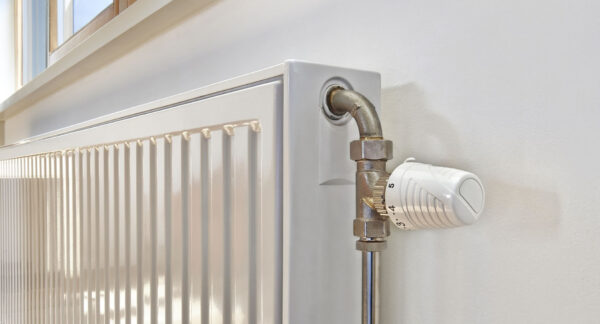


2 Bedroom Flat For Sale - High Wycombe
High Wycombe
£210,000 Guide Price
2 x
1 x
1 x
Department:
Sales
Reference:
THARAWYC5646
Postcode:
HP12 3LL
Type:
Flat
Availability:
Sold STC
Receptions:
1
Tenure:
Leasehold
Summary
Thara Properties Letting & Sales proud to present this a well presented and good sized two bedroom first floor flat with large rear garden.Situated on the west side of town. High Wycombe town centre is within easy reach with its excellent range of shopping facilities at Eden along with a mainline railway station serving London Marylebone. The M40 motorway can be found at junction 4 which is also a short drive away within walking distance to local primary and secondary school
Lease 125 years from November 1987
Charges £294.67 PA
EPC rating - D
Council tax band - B (Bucks council)
Details
Living Room 15'26 x 14'99
Bedroom One 12'67 x 10'73
Bedroom Two 10'63 x 11'15
Kitchen
Bathroom
Store
Ultrafast / Gigabit Broadband (300+ Mbps)
Strong Indoor & Outdoor 4G / Voice (All Providers)
Based on average Indoor & Outdoor data from the Local Authority
Nearest Local Schools & Transport Links
| School Name | Age | Distance | |
|---|---|---|---|
| Castlefield School | 2-11 | 0.1 mi | |
| Booker Hill Primary School & Nursery | 3-11 | 0.4 mi | |
| Chiltern Wood School | 3-19 | 0.5 mi | |
| Kite Ridge School | 11-19 | 0.6 mi | |
| Oakridge School | 2-11 | 0.6 mi | |
| Progress Schools - Buckinghamshire | 13-16 | 0.6 mi | |
| Cressex Community School | 11-18 | 0.7 mi | |
| Chepping View Primary Academy | 4-11 | 0.7 mi | |
| Millbrook Combined School | 3-11 | 0.9 mi | |
| John Hampden Grammar School | 11-18 | 0.9 mi |
| Station Name | Distance | |
|---|---|---|
| High Wycombe Rail Station | 1.5 mi | |
| Marlow Rail Station | 3.8 mi | |
| Saunderton Rail Station | 4.0 mi | |
| Bourne End Rail Station | 4.5 mi | |
| Cookham Rail Station | 5.3 mi | |
| Beaconsfield Rail Station | 6.0 mi | |
| Great Missenden Rail Station | 6.2 mi | |
| Furze Platt Rail Station | 6.7 mi | |
| Princes Risborough Rail Station | 7.0 mi | |
| Seer Green Rail Station | 7.5 mi |
| Bus Stop Name | Distance | |
|---|---|---|
| Opp - Methodist Church | 0.1 mi | |
| o/s 216 - Laburnum Road | 0.1 mi | |
| opp - Pettifer Way | 0.1 mi | |
| o/s - The Jolly Bodger PH | 0.1 mi | |
| o/s 163 - Chairborough Road | 0.2 mi | |
| opp 10 - Cross Road | 0.3 mi | |
| adj - Edmunds Close | 0.3 mi | |
| Opp - Edmunds Close | 0.3 mi | |
| Opp - Roundwood Road | 0.3 mi | |
| adj - Roundwood Road | 0.3 mi |
| Airport Name | Distance | |
|---|---|---|
| London Heathrow Airport | 17.5 mi | |
| London Luton Airport | 24.7 mi | |
| London Oxford Airport | 27.0 mi | |
| London City Airport | 36.8 mi | |
| Biggin Hill Airport | 40.5 mi | |
| London Gatwick Airport | 42.0 mi | |
| London Stansted Airport | 48.3 mi | |
| Southampton Airport | 53.0 mi | |
| Cambridge Airport | 57.4 mi | |
| Shoreham Brighton City Airport | 58.7 mi |