

3/4 Bedroom House - High Wycombe
High Wycombe
£1,650 pcm
3 x
2 x
2 x
Department:
Lettings
Reference:
THARAWYC9876
Postcode:
HP12 3EB
Type:
Semi-Detached House
Marketing Flag:
Recently Let
Availability:
Let Agreed
Receptions:
2
Furnished:
Unfurnished
Deposit:
£1,650
Available Date:
2025-09-05
Council Tax Band:
C
Summary
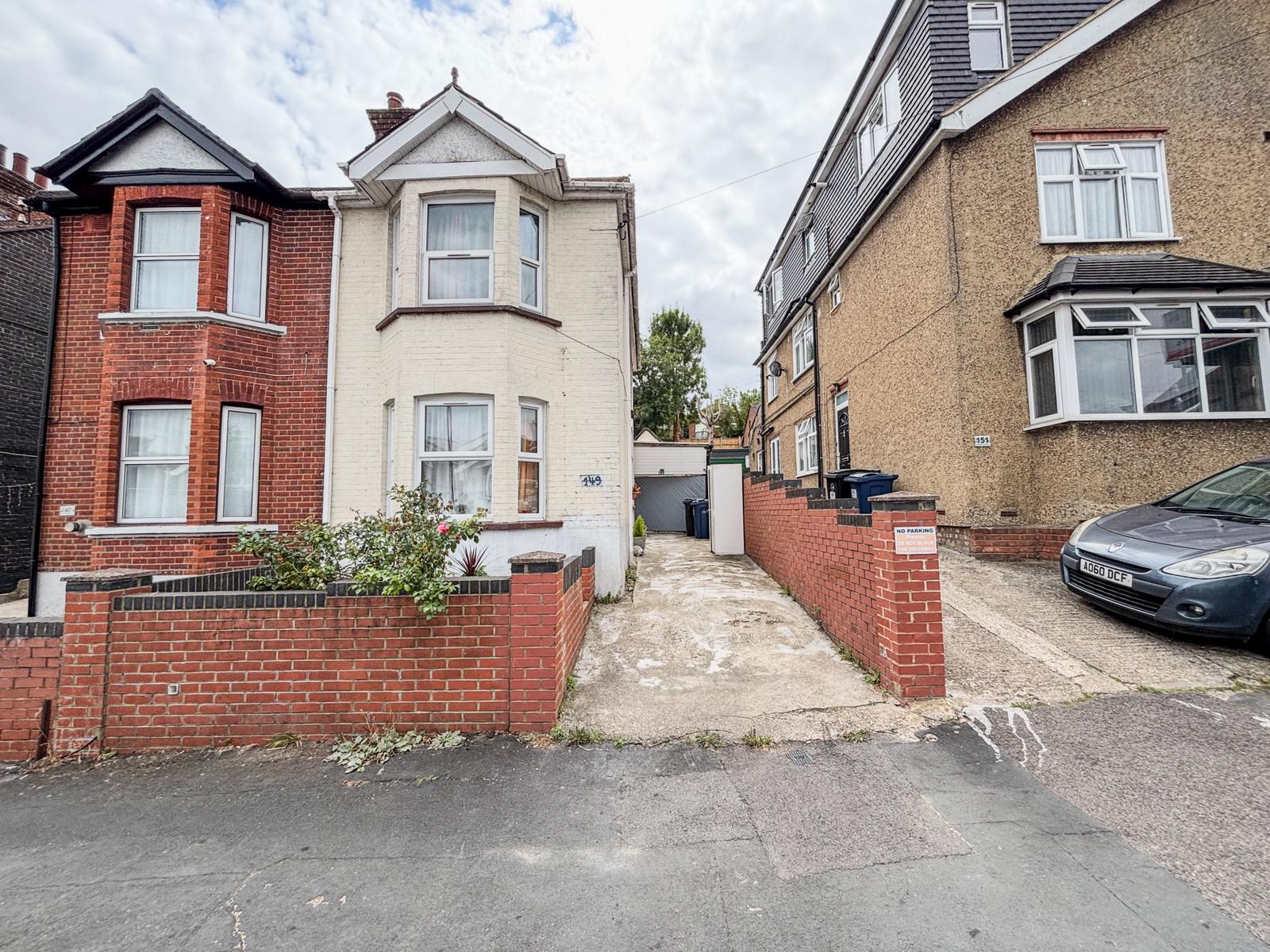
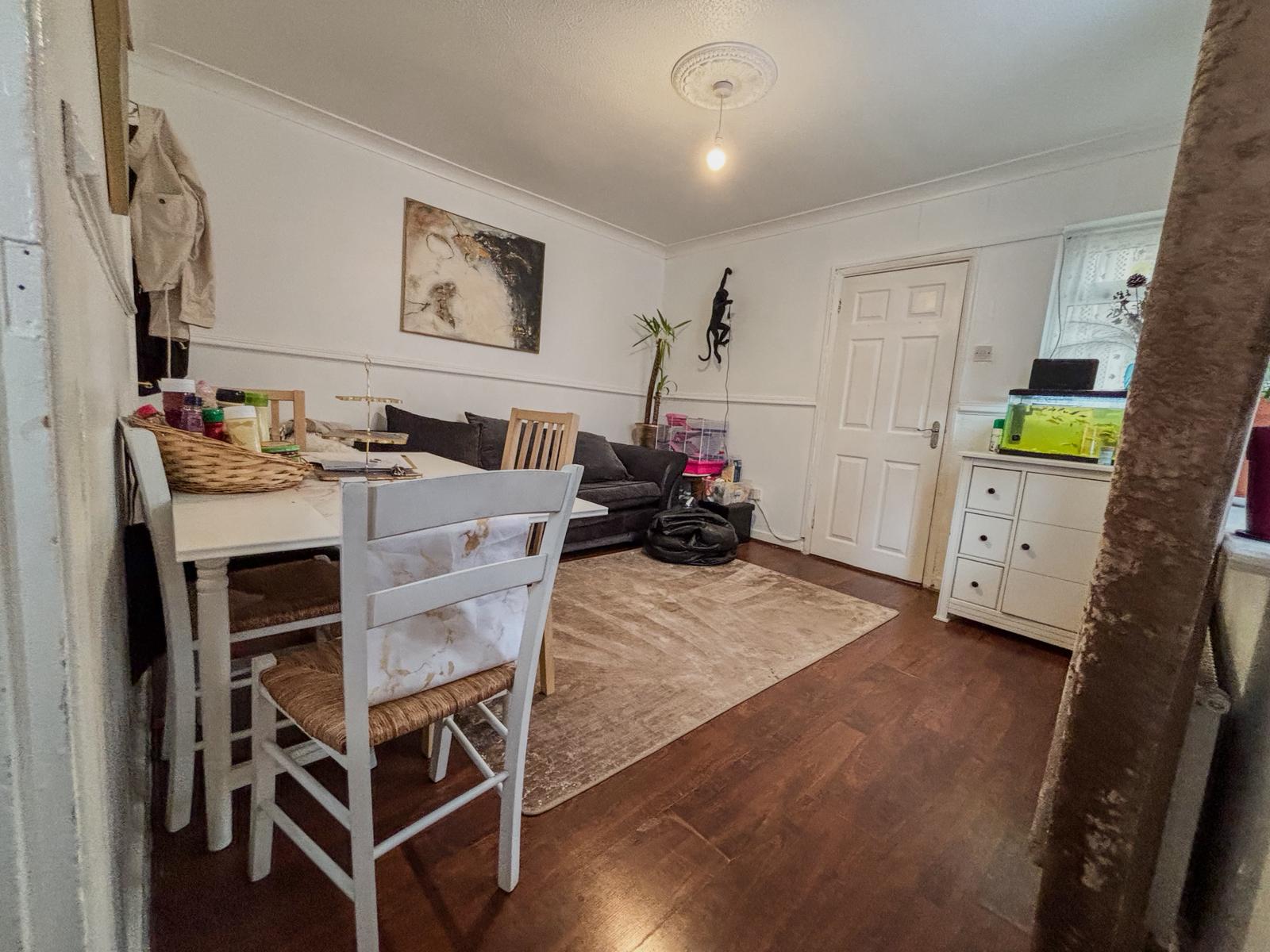
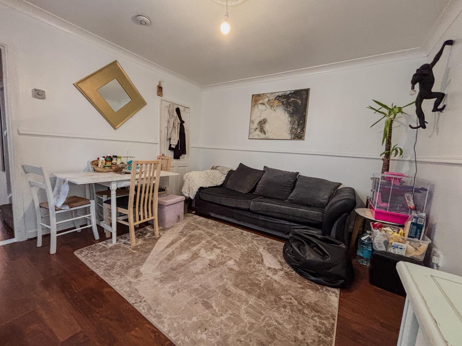
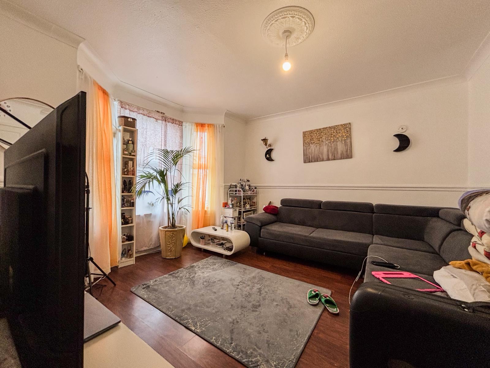
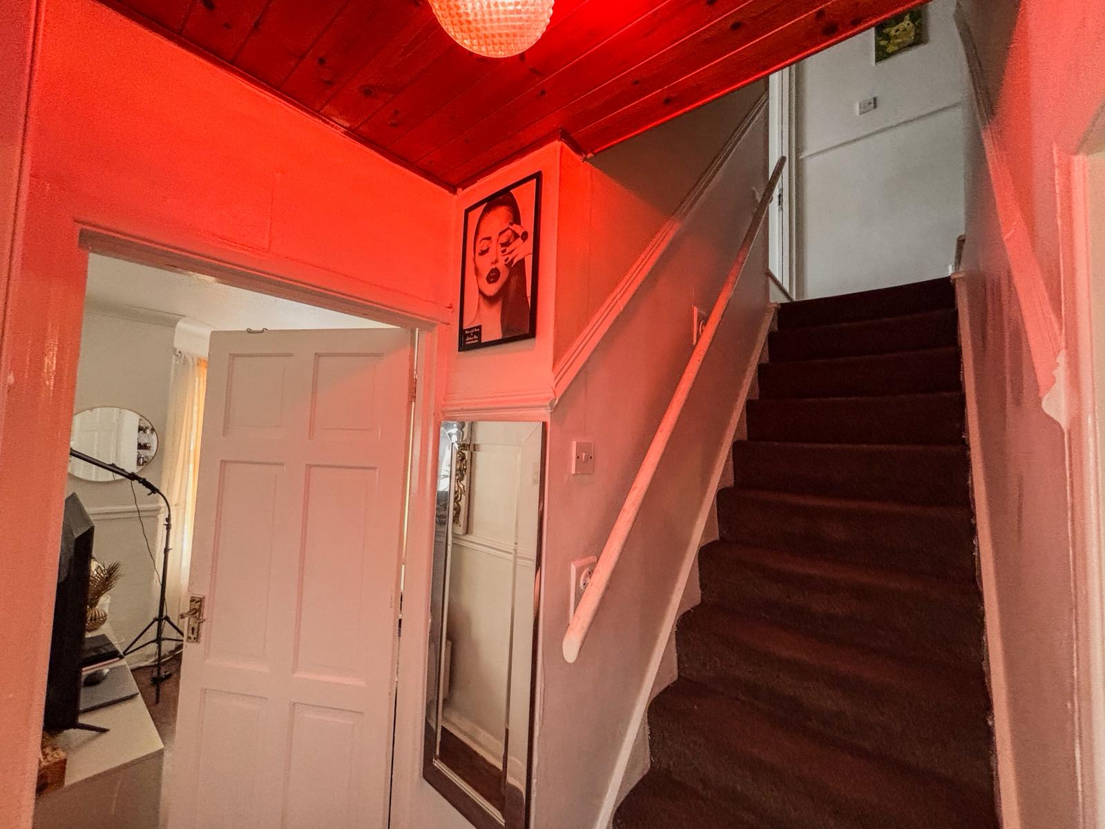
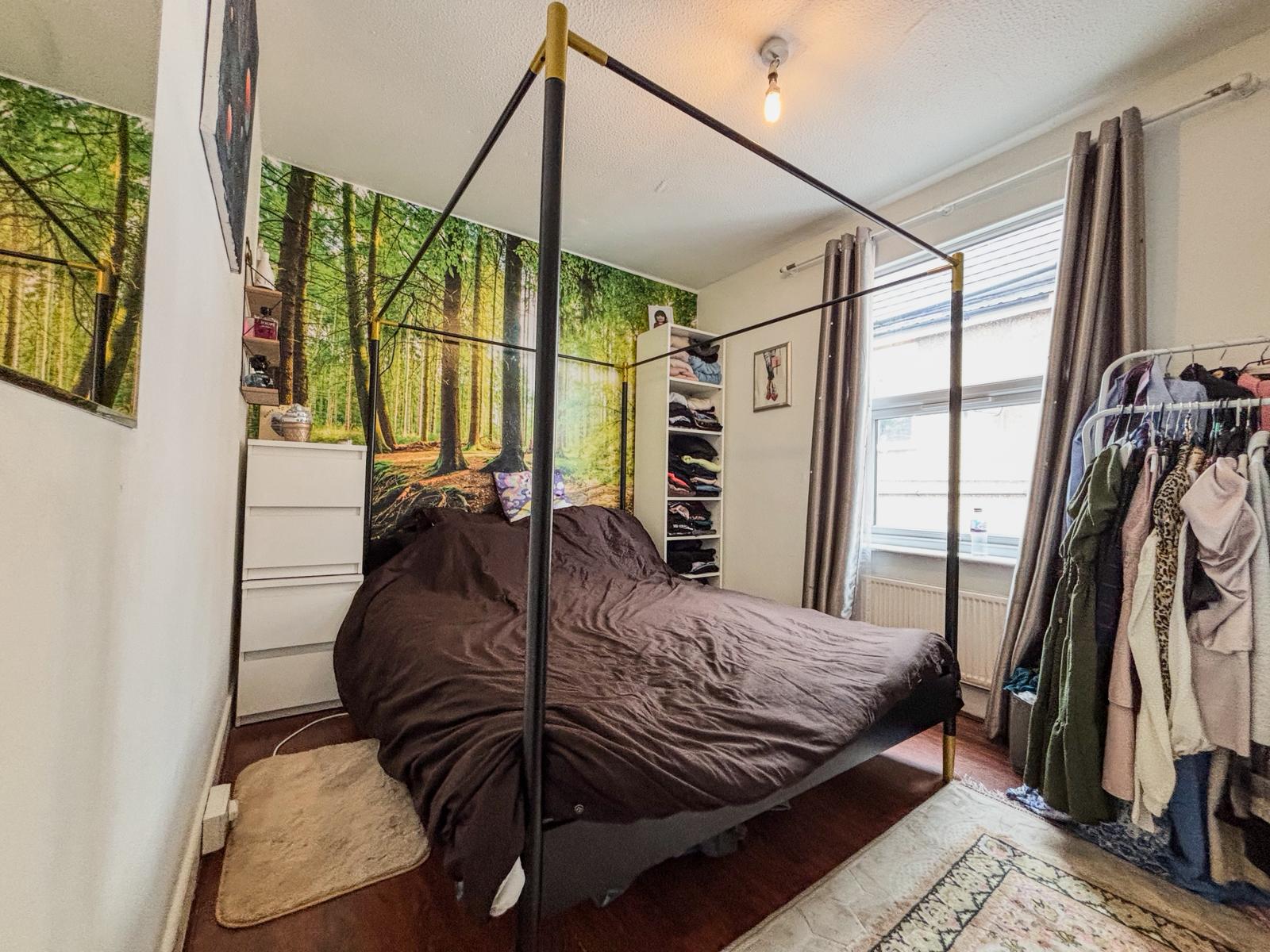
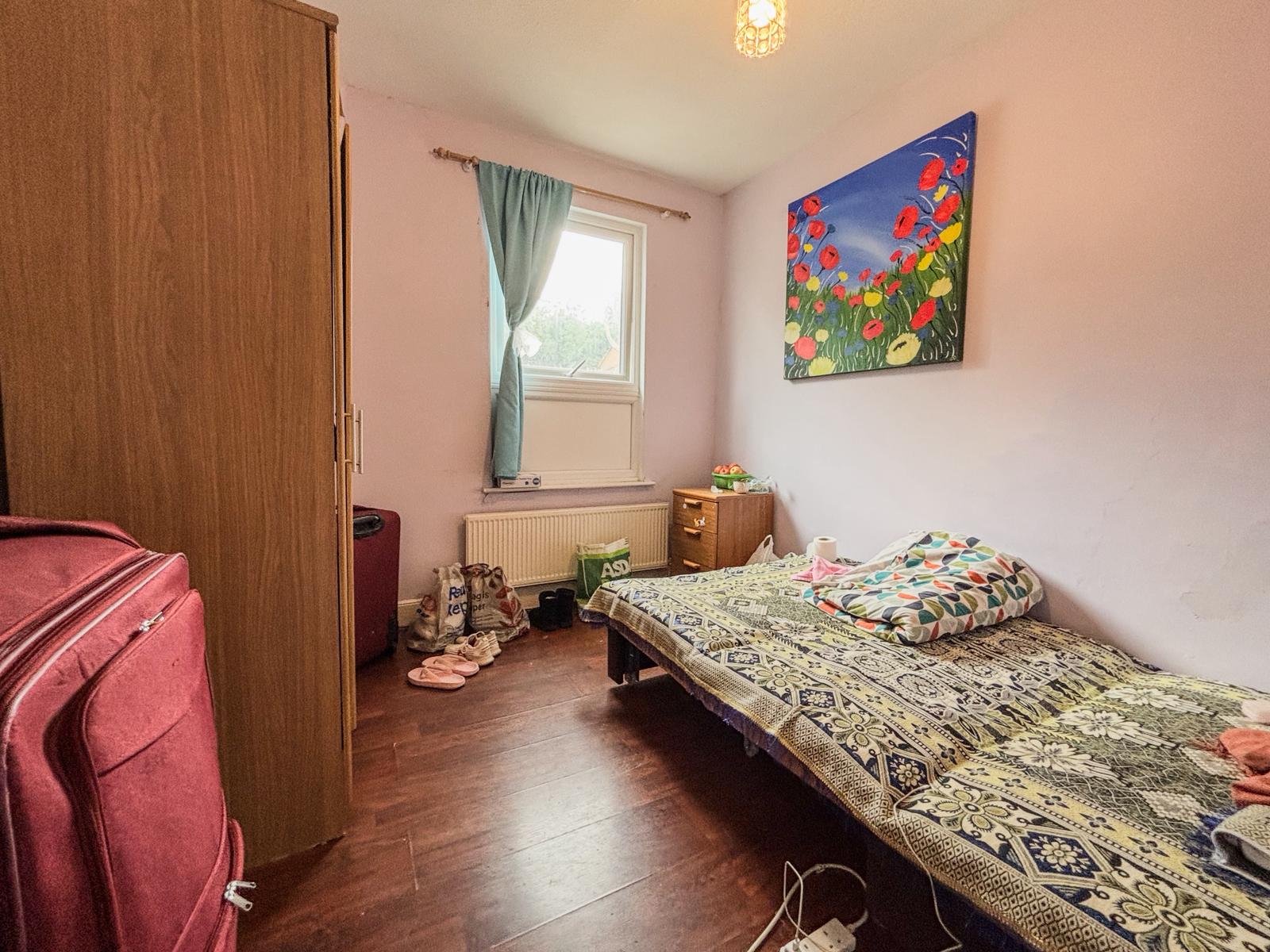
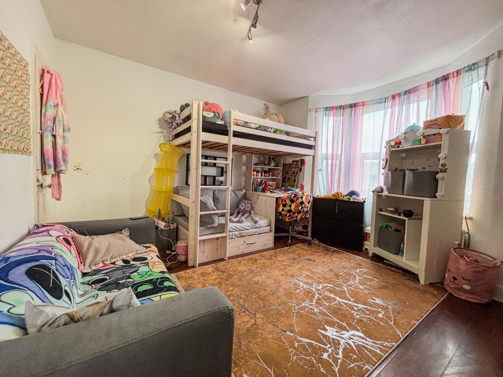
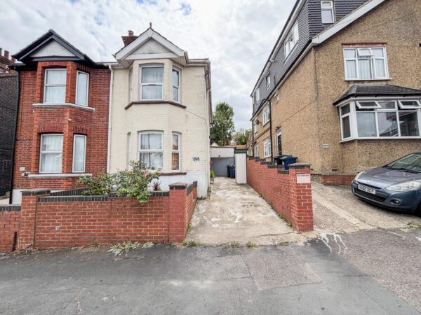
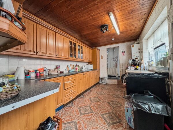
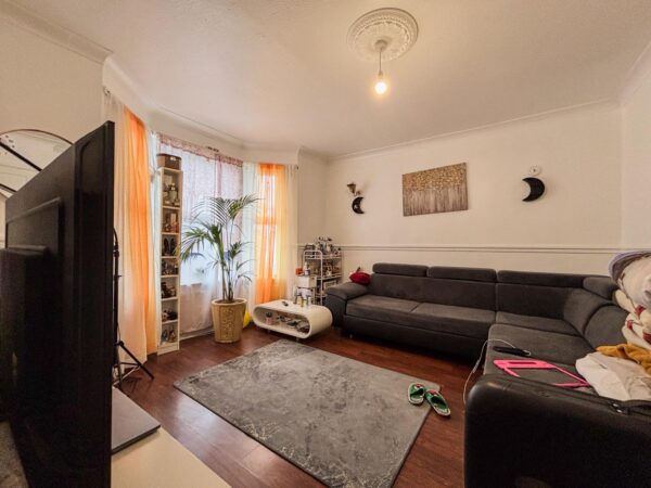
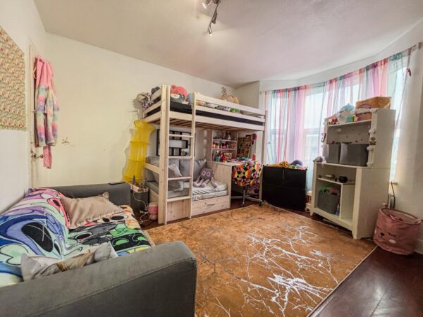
A beautifully presented 3/4 bedroom semi-detached home located in the popular Sands area, just a short drive to M40 J4 and High Wycombe Town Centre. Millbrook School and Sands Park are also within walking distance.Property features:
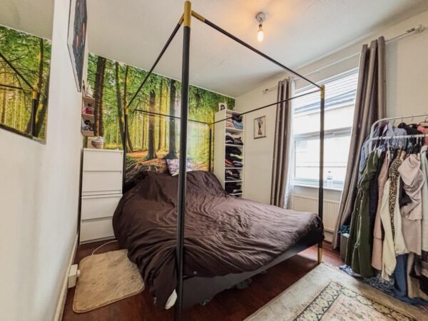
- 3 family sized bedrooms
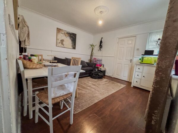
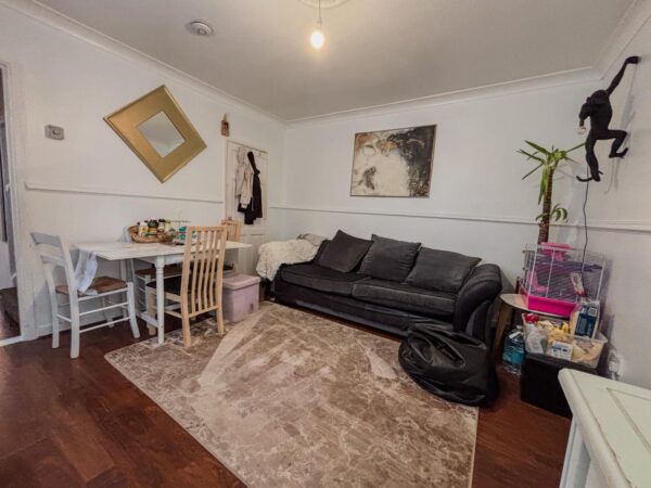
- Bright lounge and separate dining room
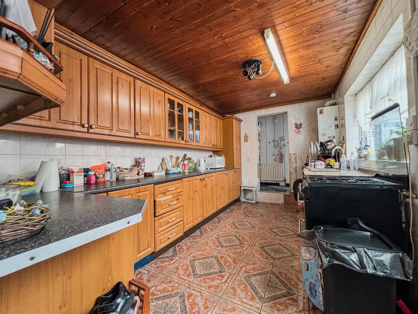
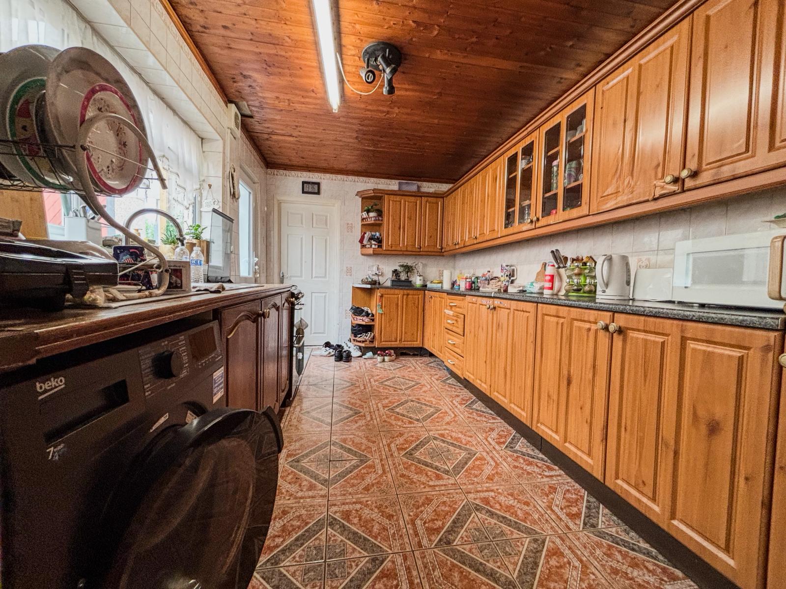
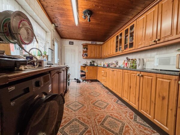
- Modern fitted kitchen
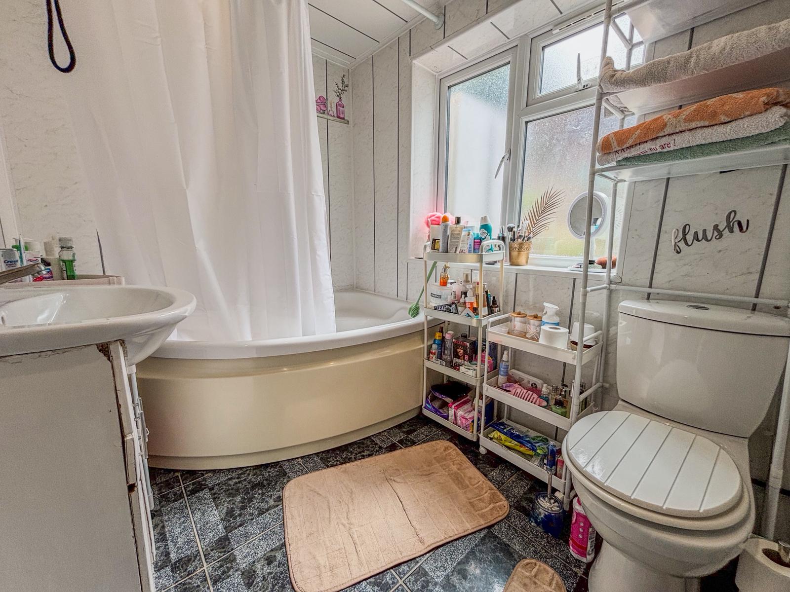
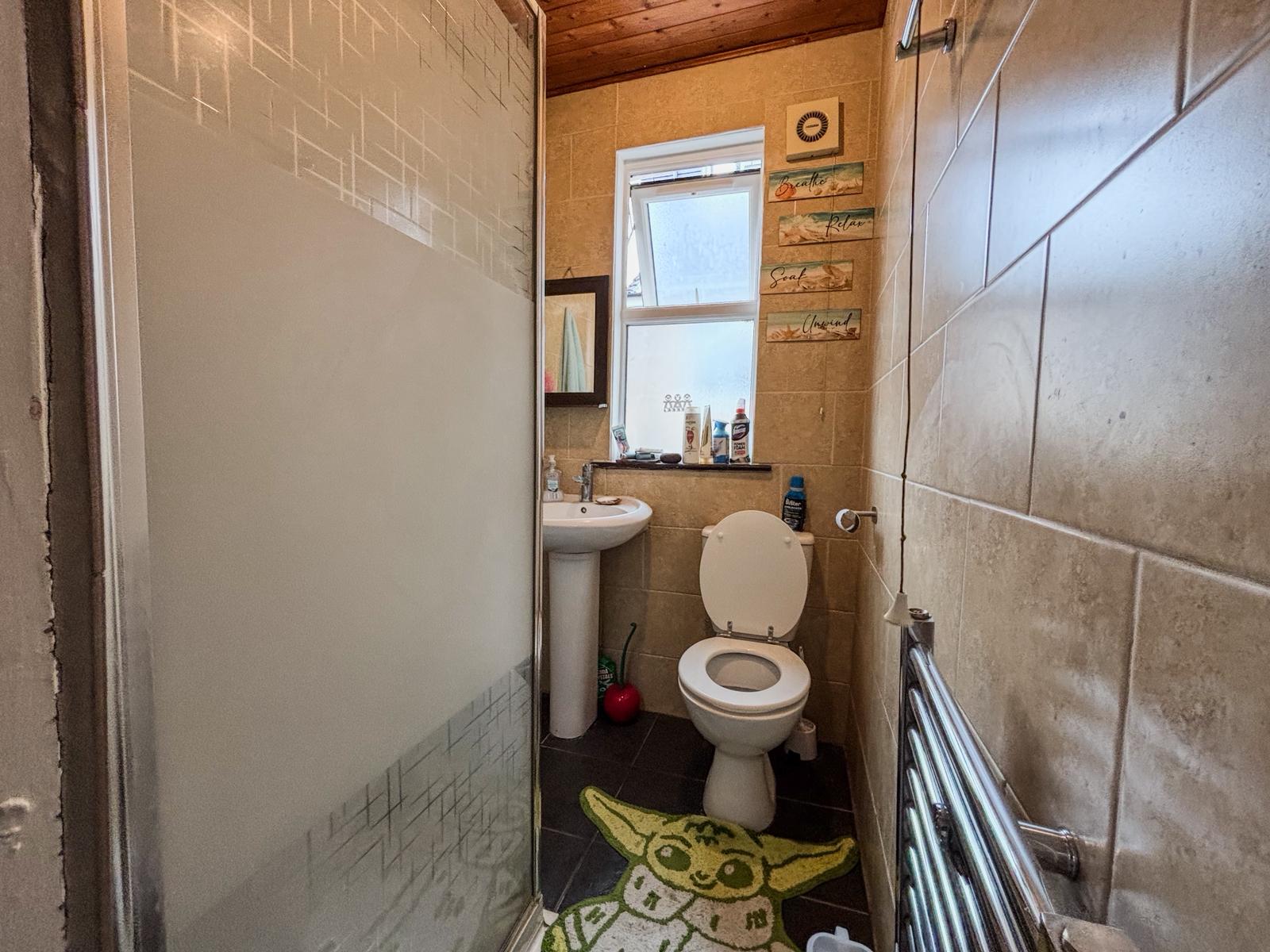
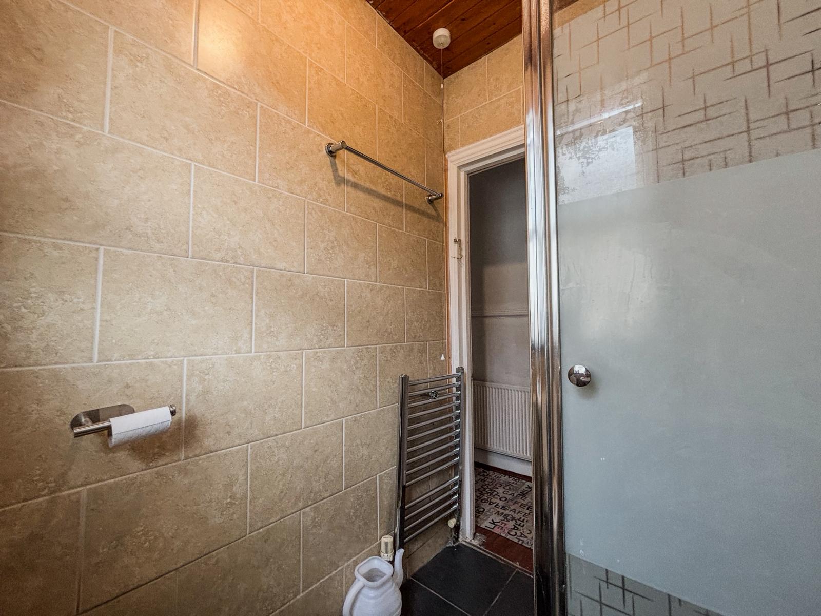
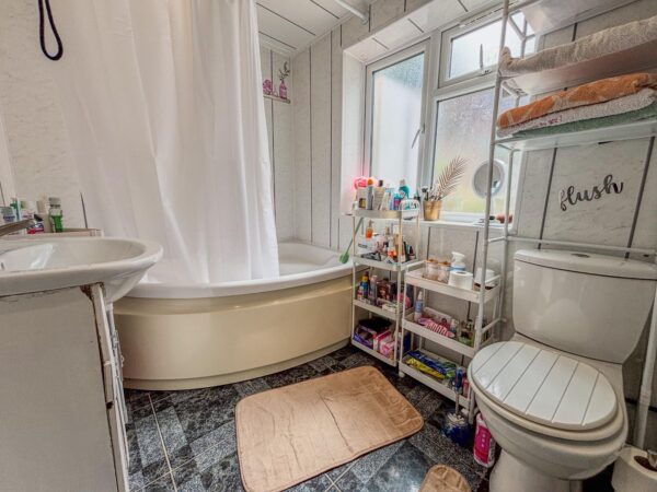
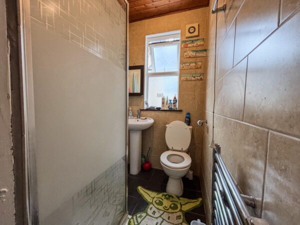
- 2 stylish bathrooms
- Off-street parking
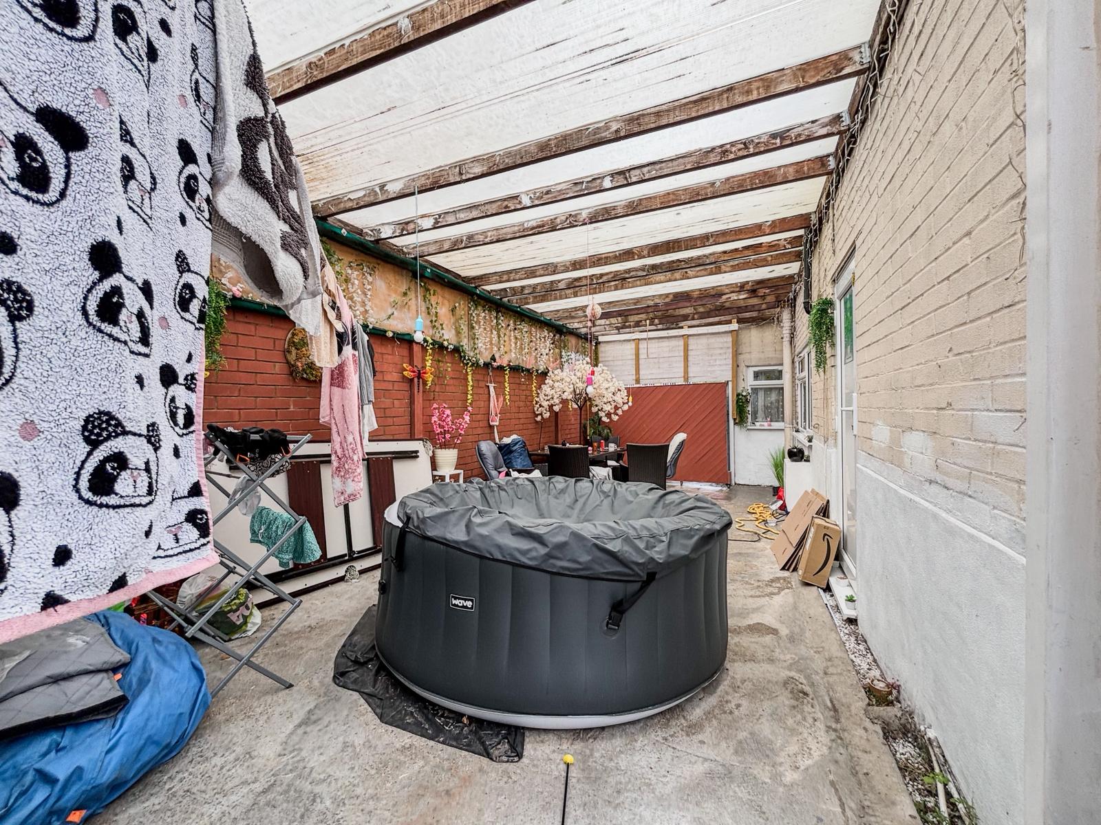
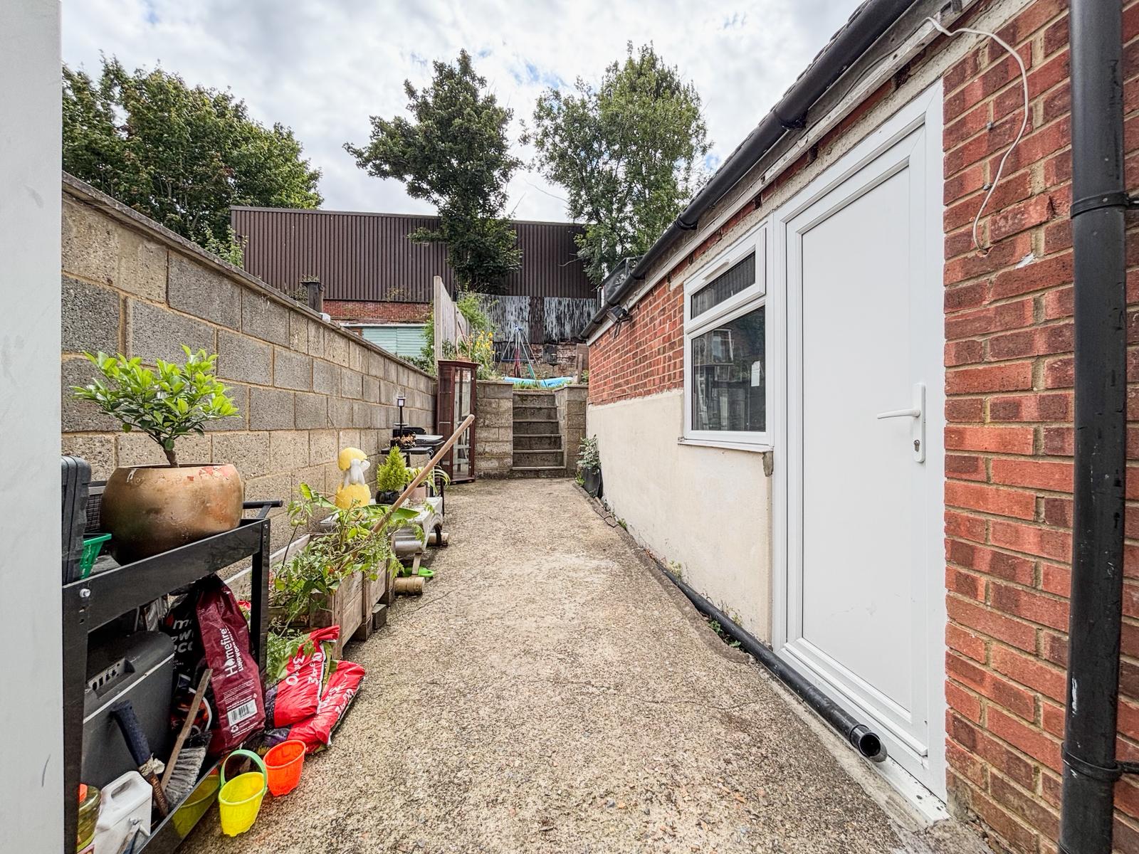
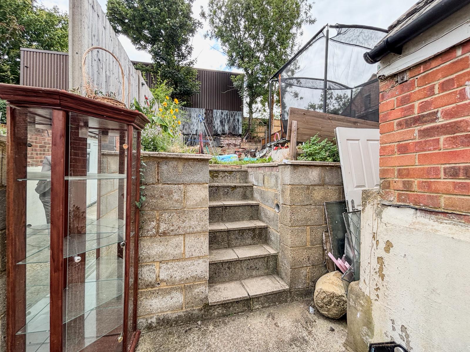
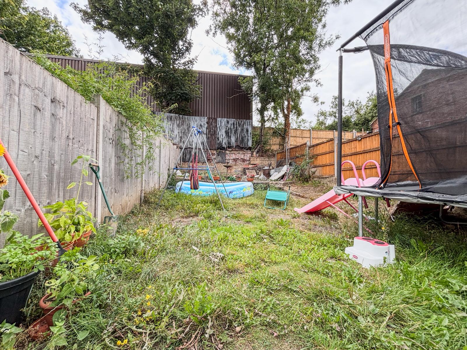
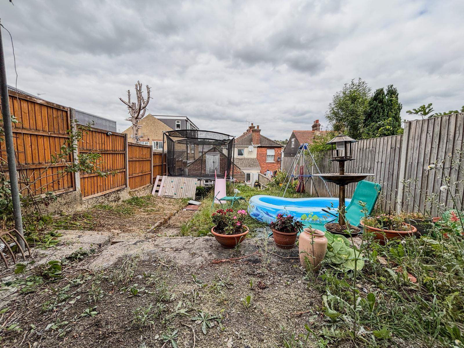
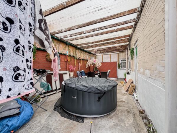
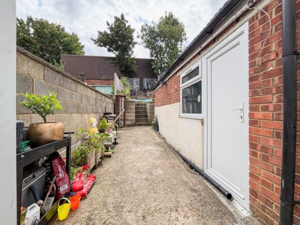
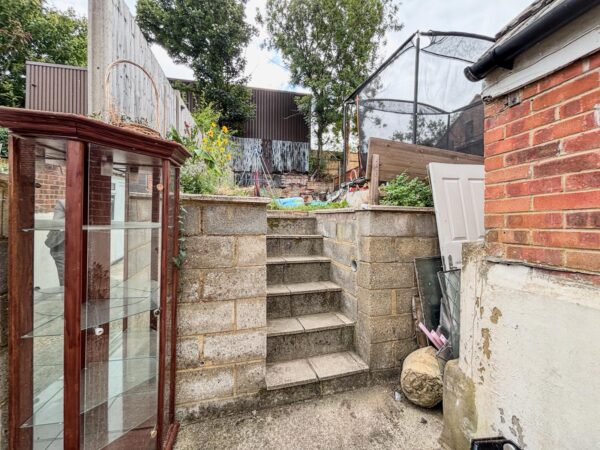
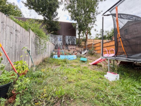
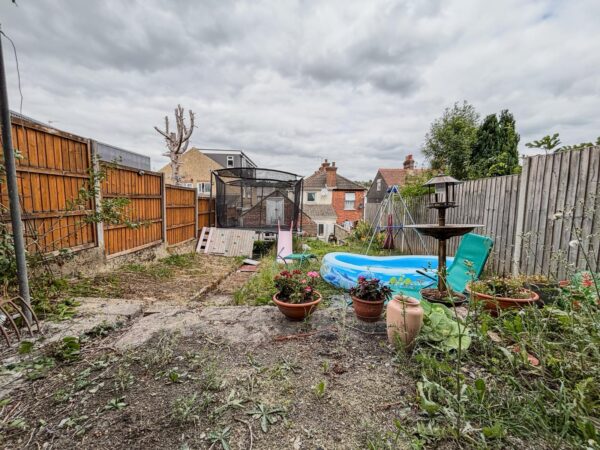
- Large private rear garden
Perfect for families looking for a spacious home in a convenient location.
Available from 05/09/2025 on an unfurnished basis.
Council Tax Band - C
EPC Rating - D
Rent - £1650 PCM
Deposit - £1650
Holding Deposit (per tenancy): One week’s rent. This is to reserve a property. Please Note: This will be withheld if any relevant person (including any guarantor(s)) withdraw from the tenancy, fail a Right- to-Rent check, provide materially significant false or misleading information, or fail to sign their tenancy agreement (and / or Deed of Guarantee) within 15 calendar days (or other Deadline for Agreement as mutually agreed in writing).
Council tax band - C (Bucks council)
Ultrafast / Gigabit Broadband (300+ Mbps)
Strong Indoor & Outdoor 4G / Voice (All Providers)
Based on average Indoor & Outdoor data from the Local Authority
Nearest Local Schools & Transport Links
| School Name | Age | Distance | |
|---|---|---|---|
| Unity College | 11-18 | 0.3 mi | |
| Oakridge School | 2-11 | 0.3 mi | |
| Millbrook Combined School | 3-11 | 0.4 mi | |
| The Disraeli School | 2-11 | 0.6 mi | |
| Castlefield School | 2-11 | 0.6 mi | |
| High Wycombe Church of England Combined School | 4-11 | 0.8 mi | |
| Progress Schools - Buckinghamshire | 13-16 | 0.9 mi | |
| Booker Hill Primary School & Nursery | 3-11 | 0.9 mi | |
| Hamilton Academy | 3-11 | 1.0 mi | |
| Chiltern Wood School | 3-19 | 1.0 mi |
| Station Name | Distance | |
|---|---|---|
| High Wycombe Rail Station | 1.2 mi | |
| Saunderton Rail Station | 3.7 mi | |
| Marlow Rail Station | 4.3 mi | |
| Bourne End Rail Station | 4.8 mi | |
| Great Missenden Rail Station | 5.6 mi | |
| Cookham Rail Station | 5.7 mi | |
| Beaconsfield Rail Station | 5.8 mi | |
| Princes Risborough Rail Station | 6.6 mi | |
| Furze Platt Rail Station | 7.2 mi | |
| Seer Green Rail Station | 7.3 mi |
| Bus Stop Name | Distance | |
|---|---|---|
| Opp 1 - Copyground Lane | 0.1 mi | |
| adj - The Half Moon PH | 0.1 mi | |
| Opp - The Half Moon PH | 0.1 mi | |
| opp - Prestwood Close | 0.1 mi | |
| adj - Prestwood Close | 0.1 mi | |
| o/s 39 - Whitelands Road | 0.2 mi | |
| o/s 17 - Oakridge Road | 0.2 mi | |
| Opp 3 - Oakridge Road | 0.2 mi | |
| Opp - Grenfell Avenue | 0.2 mi | |
| adj - Desborough Park Road | 0.3 mi |
| Airport Name | Distance | |
|---|---|---|
| London Heathrow Airport | 17.7 mi | |
| London Luton Airport | 24.0 mi | |
| London Oxford Airport | 26.9 mi | |
| London City Airport | 36.6 mi | |
| Biggin Hill Airport | 40.6 mi | |
| London Gatwick Airport | 42.2 mi | |
| London Stansted Airport | 47.8 mi | |
| Southampton Airport | 53.6 mi | |
| Cambridge Airport | 56.8 mi | |
| Coventry Airport | 58.9 mi |