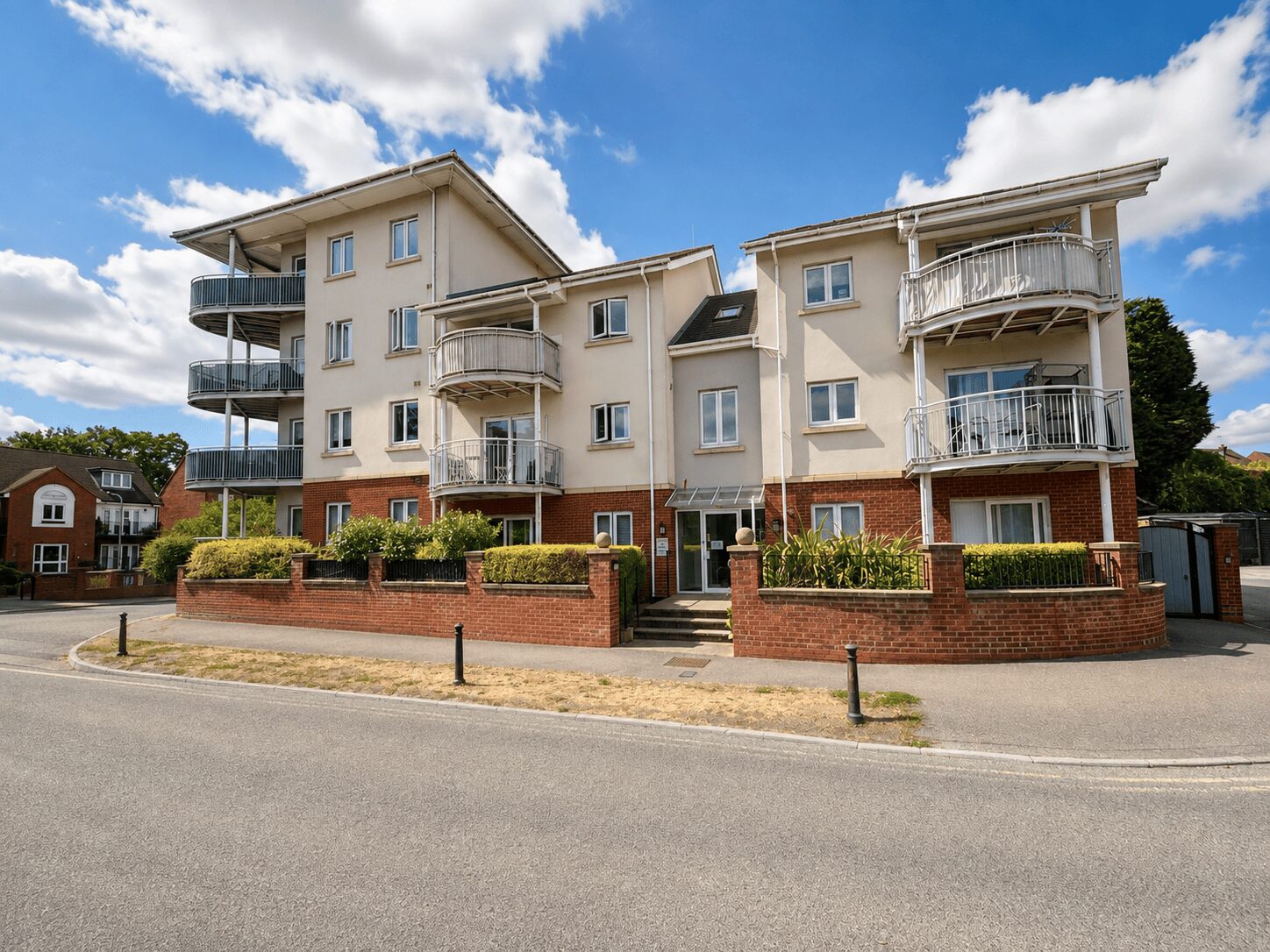
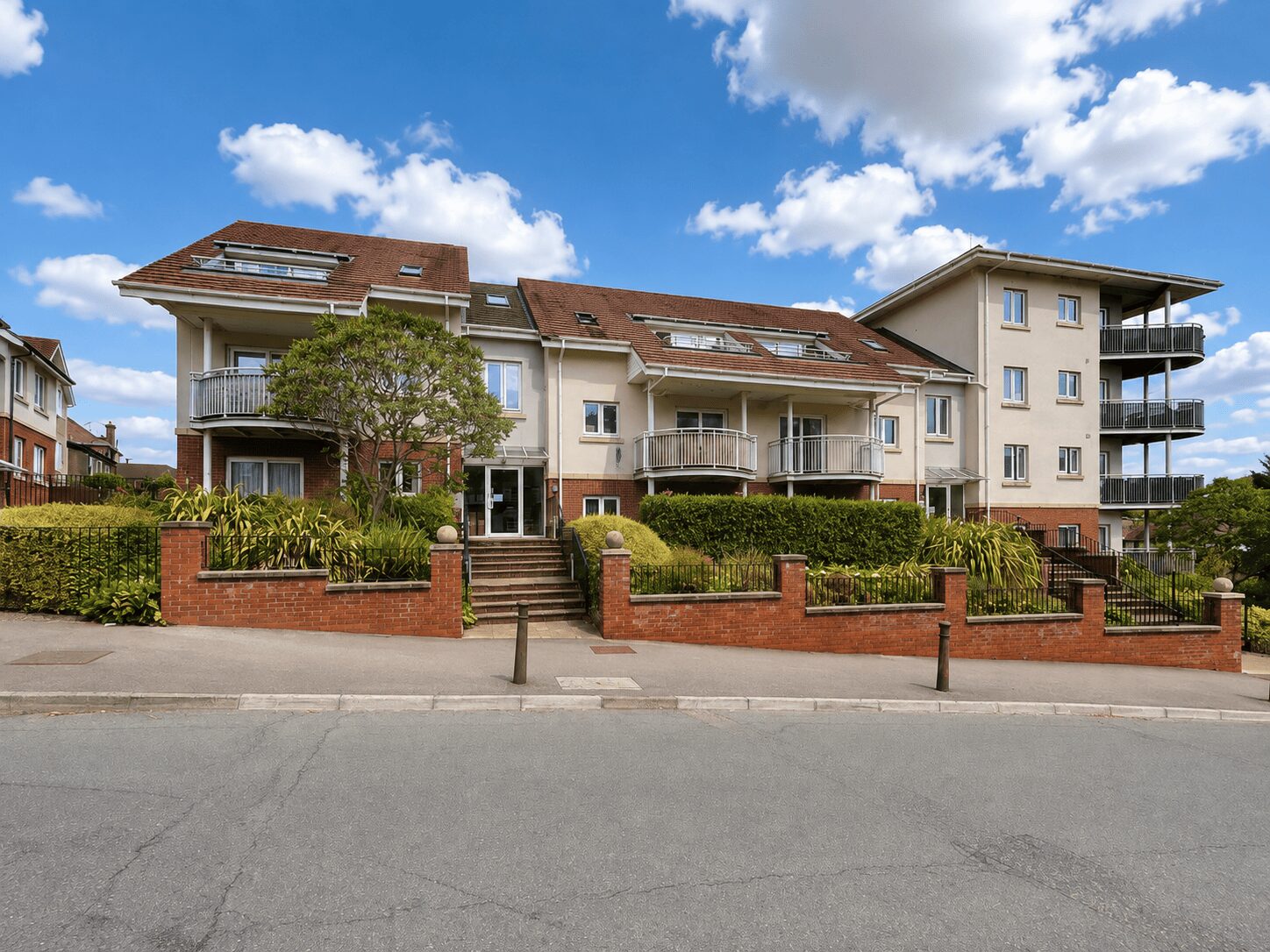
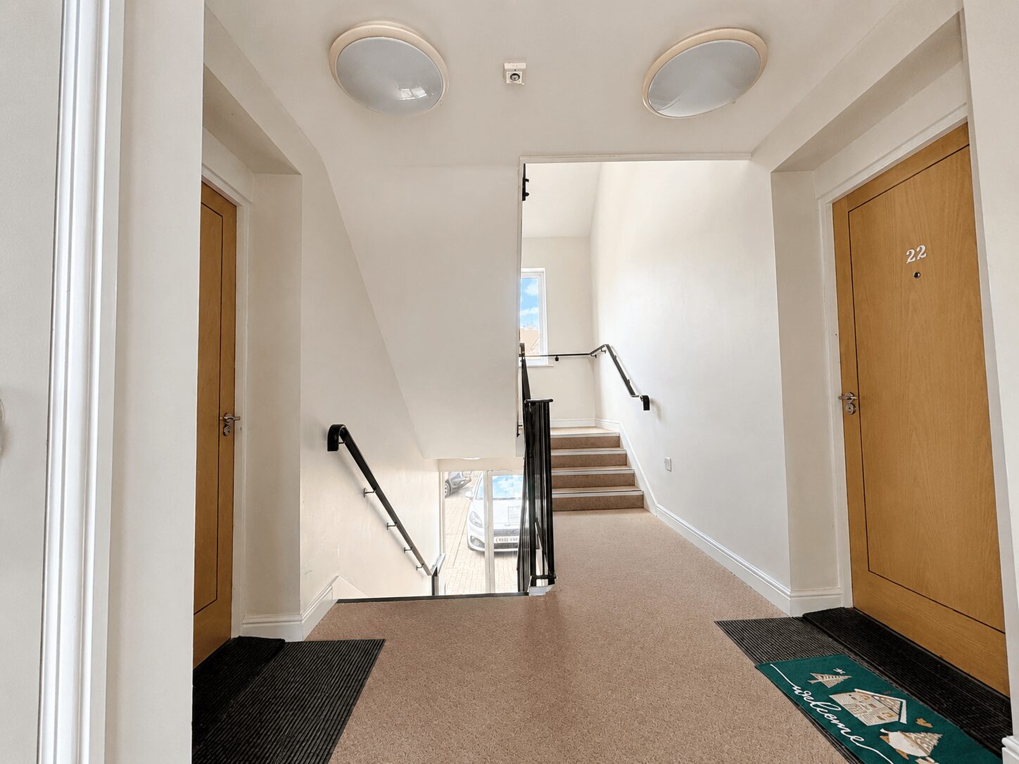
2 Bed Apartment, Cedar Avenue, Hazelmere, Buckinghamshire, HP15 7DL
Hazelmere
£1,750 pcm
2 x
1 x
1 x
Department:
Lettings
Reference:
00932900
Postcode:
HP15 7DL
Type:
Flat / Apartment
Marketing Flag:
New Instruction
Availability:
To Let
Receptions:
1
Furnished:
Part Furnished
Deposit:
£1,999
Available Date:
2026-08-24
Council Tax Band:
C
Summary
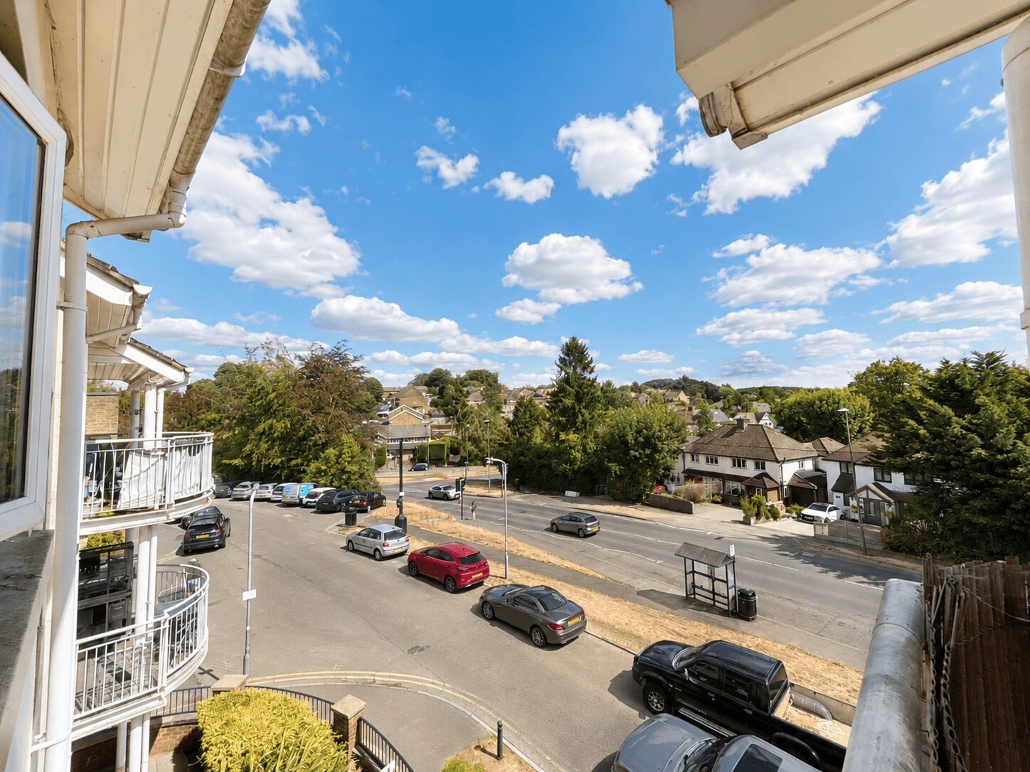
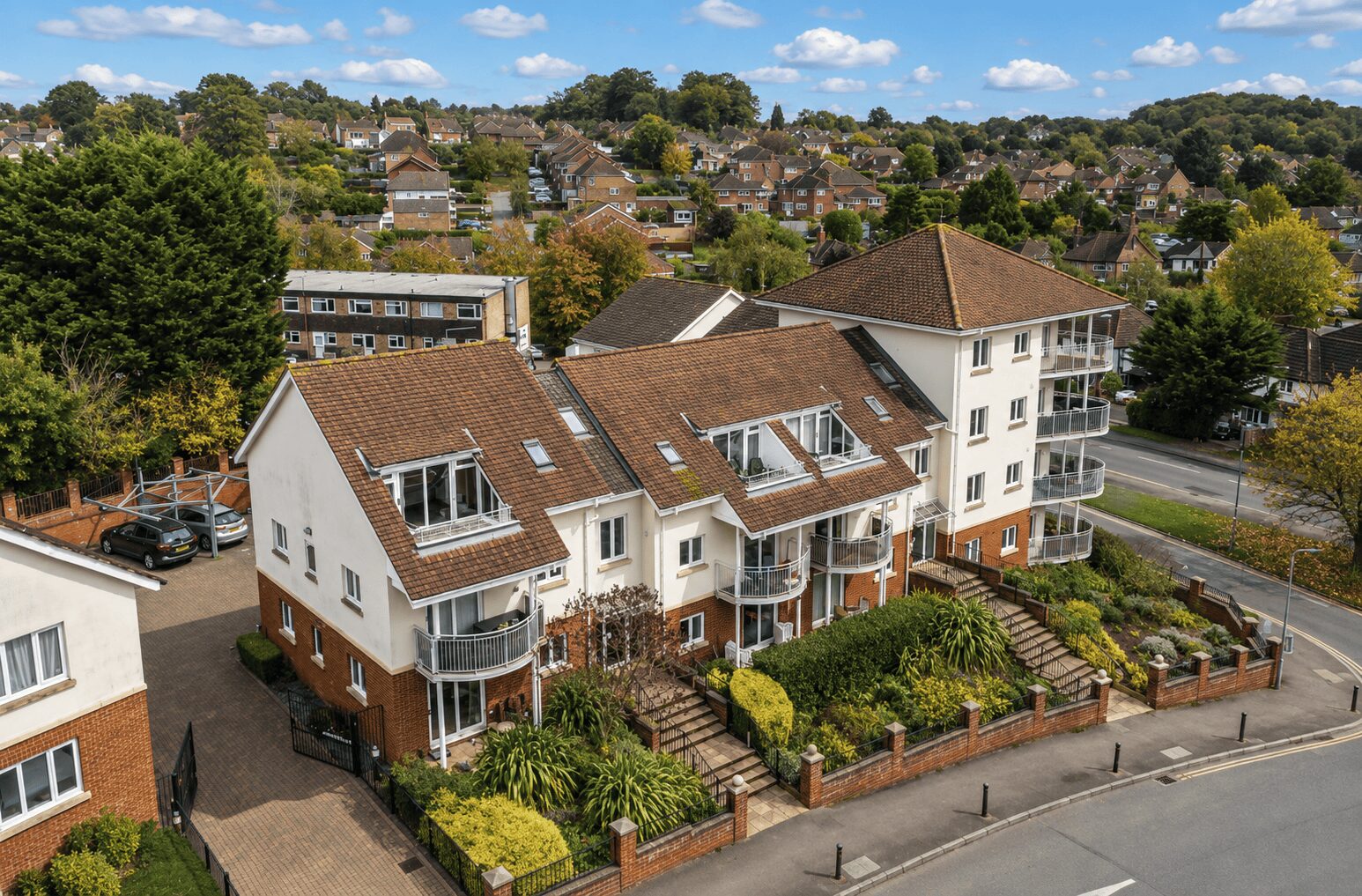
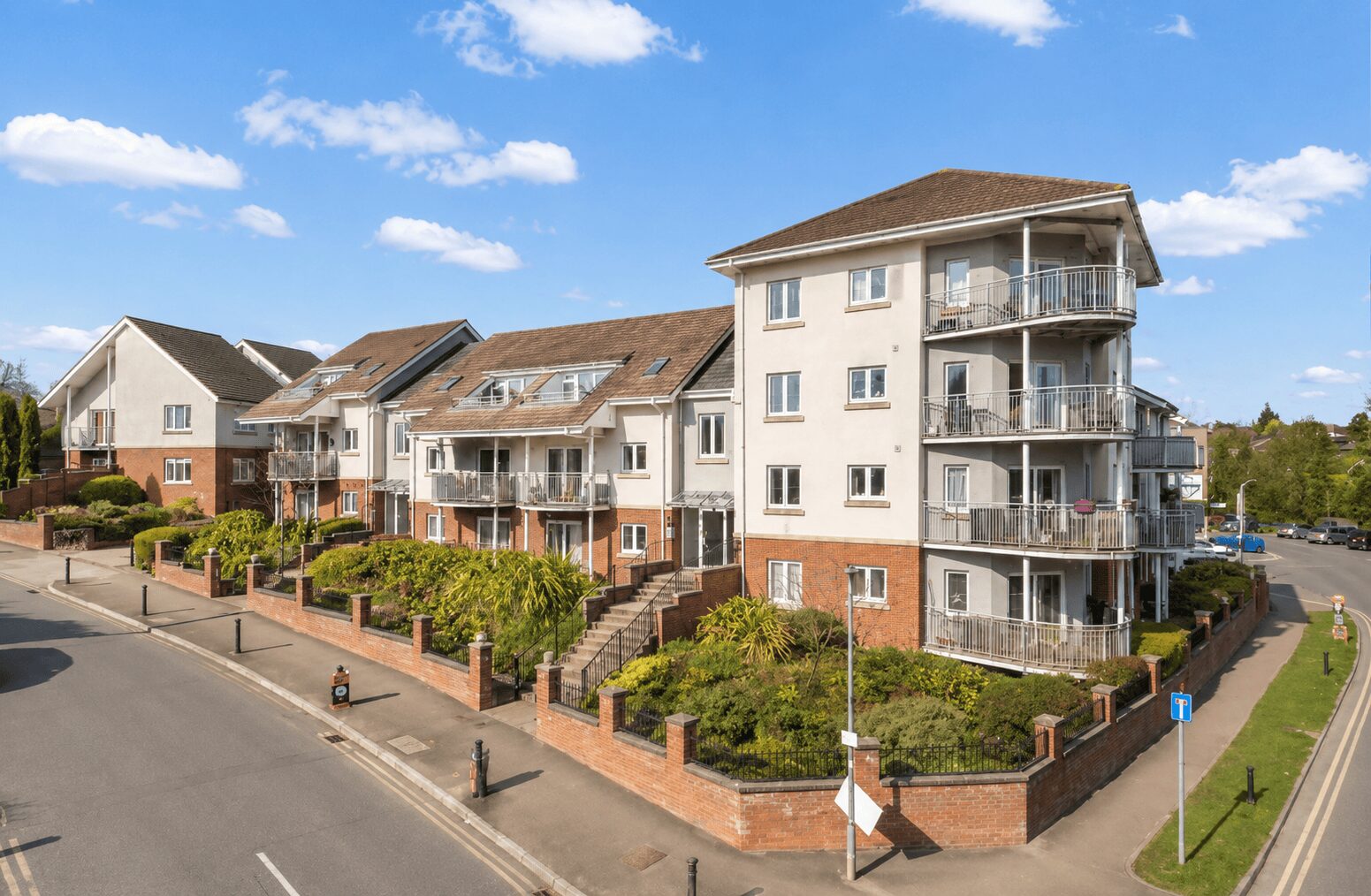
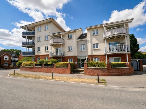
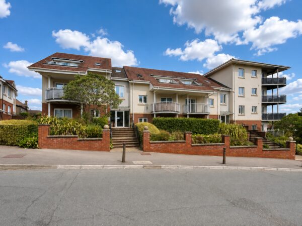
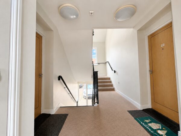
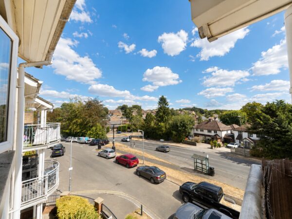
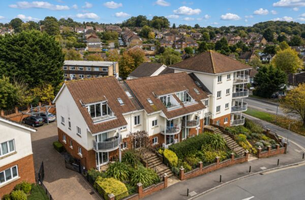
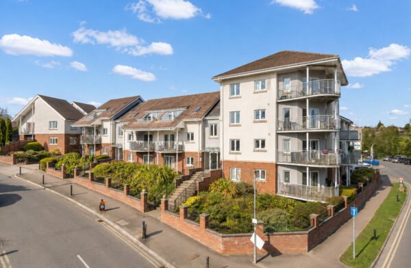
Thara Properties are delighted to offer to the market this rarely available and beautifully presented two-bedroom, second-floor apartment, situated in the popular and peaceful village of Hazlemere.The property benefits from excellent transport connections, with convenient access to High Wycombe, Amersham and Great Missenden railway stations, all offering fast services into London Marylebone. Excellent road links are also available via the M40, A404 and M25.
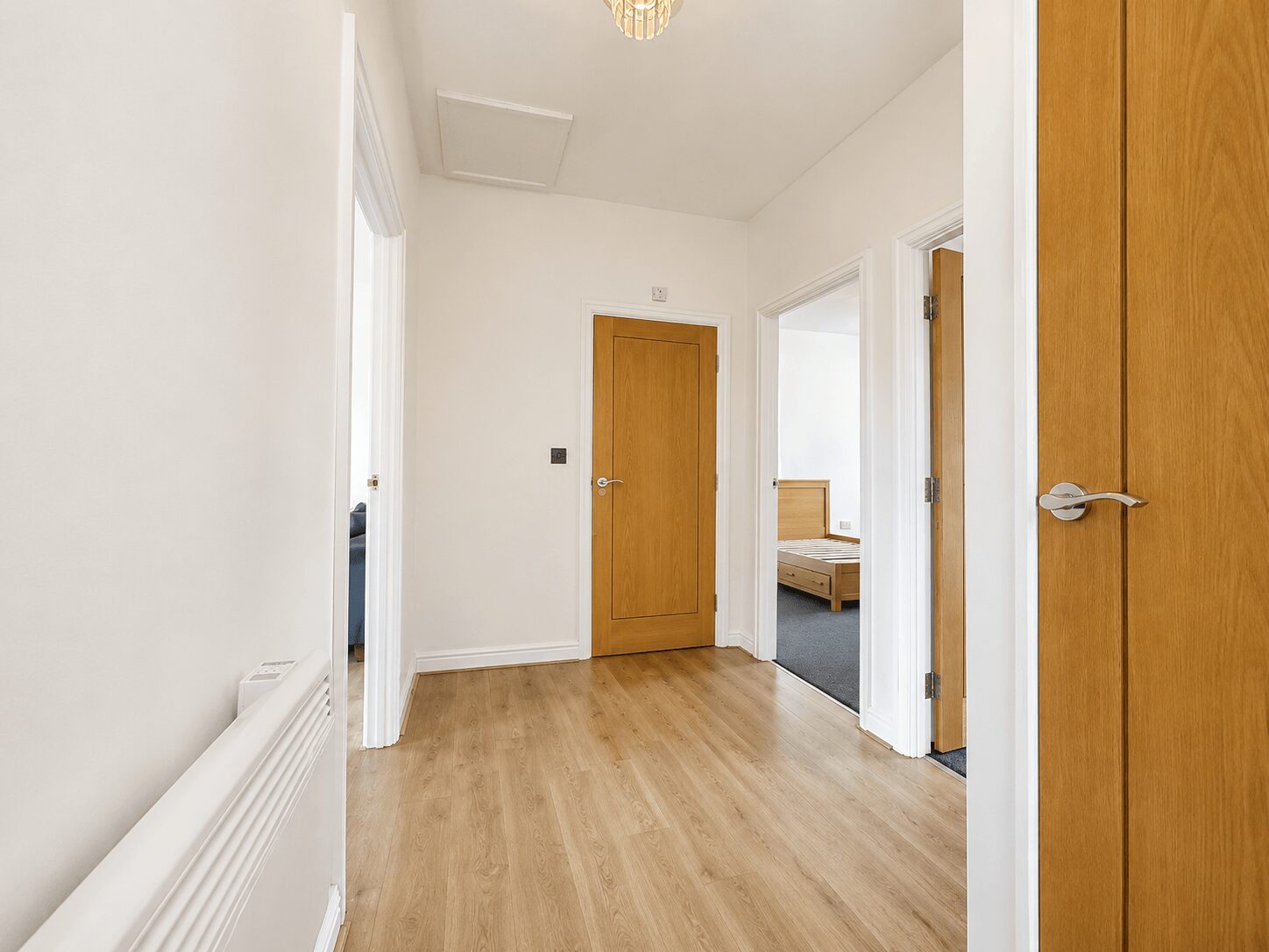
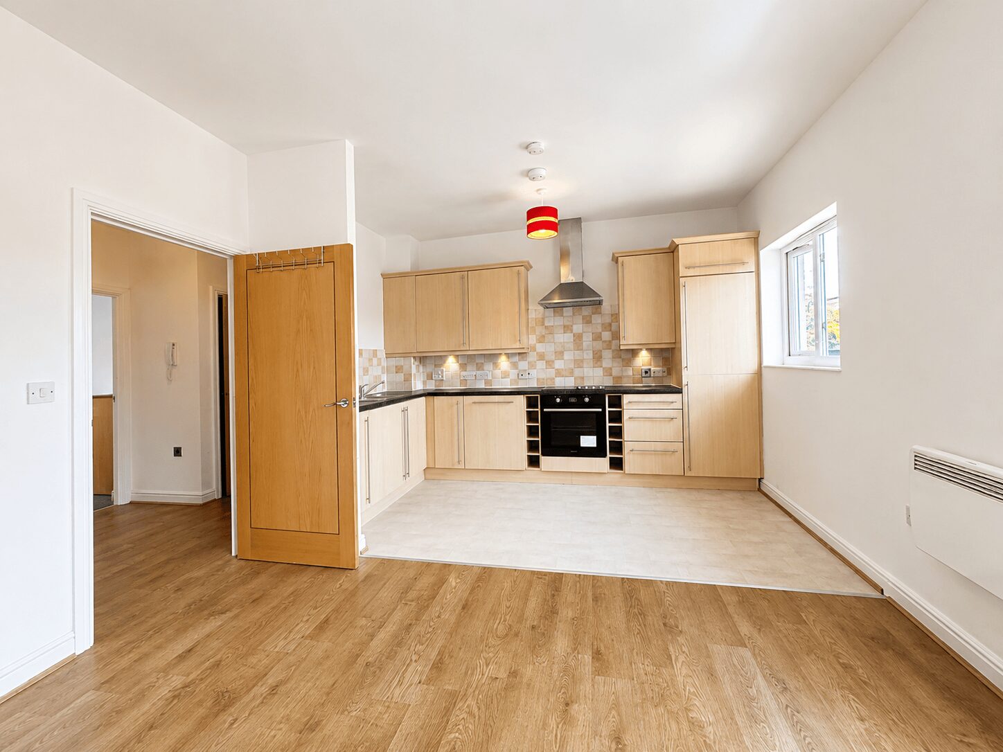
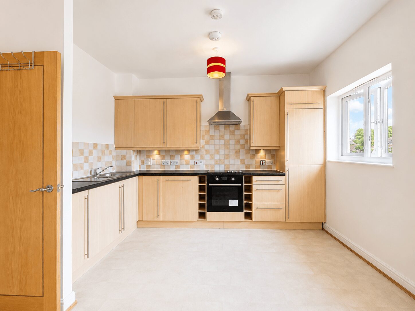
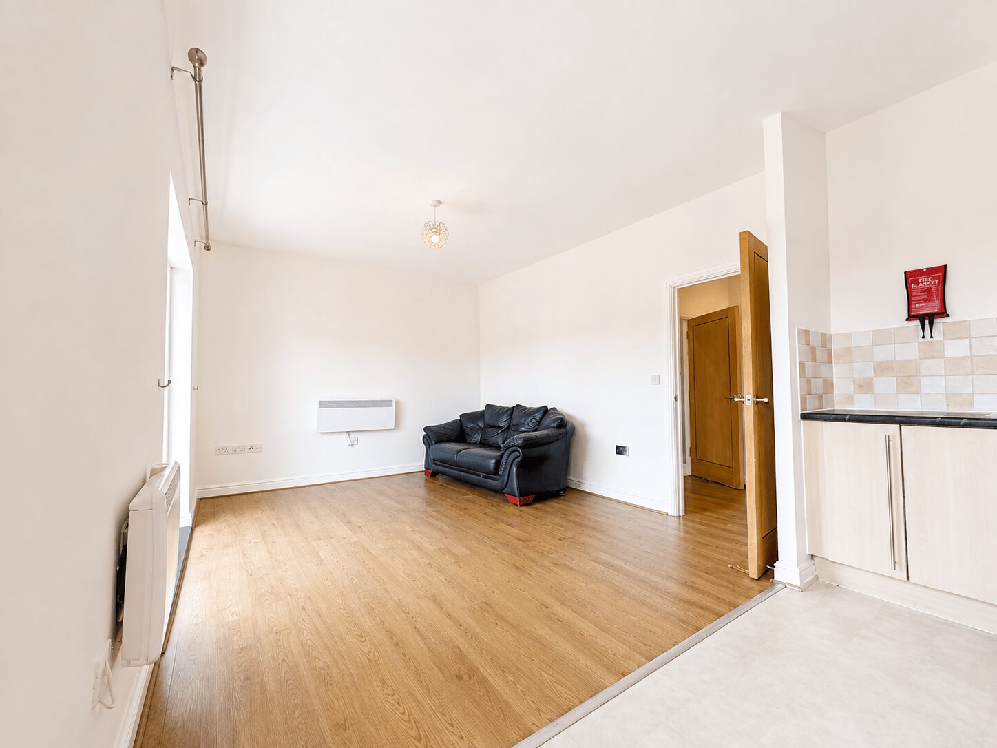
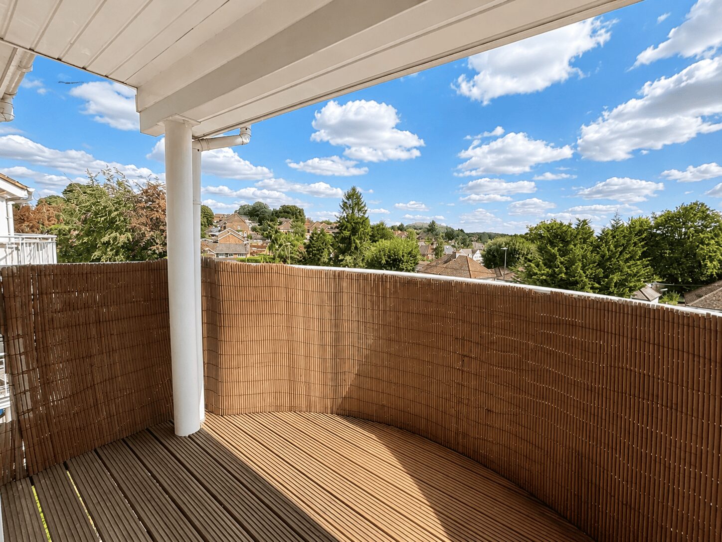
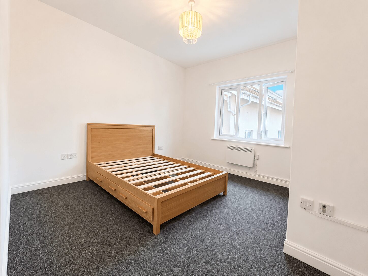
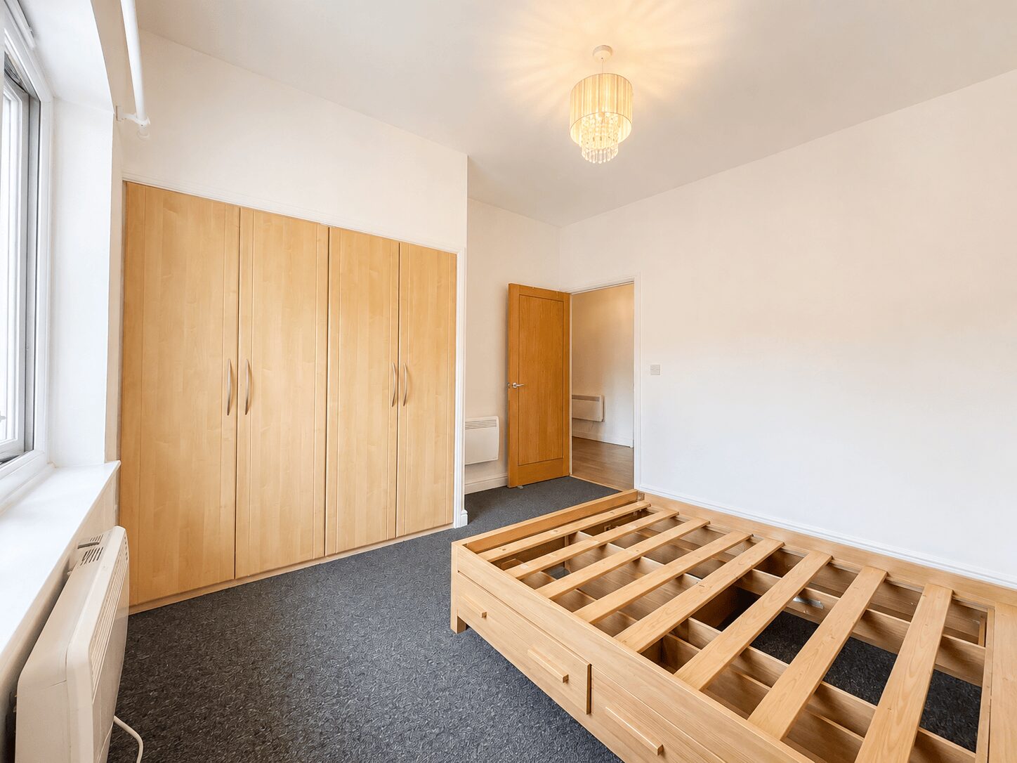
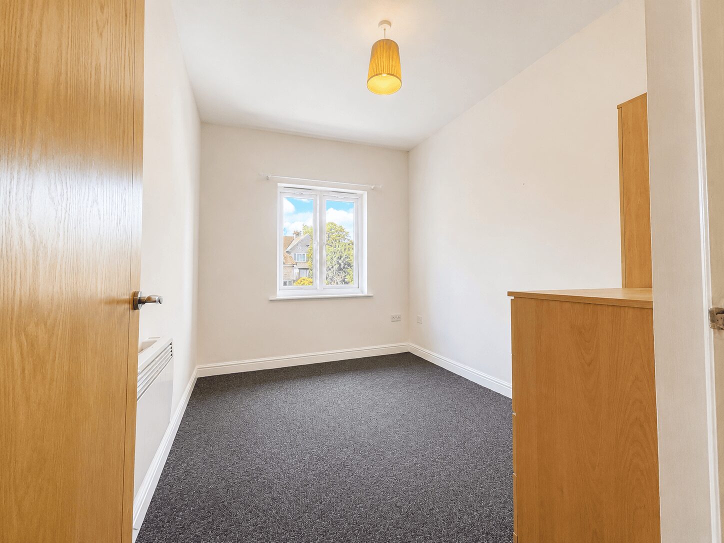
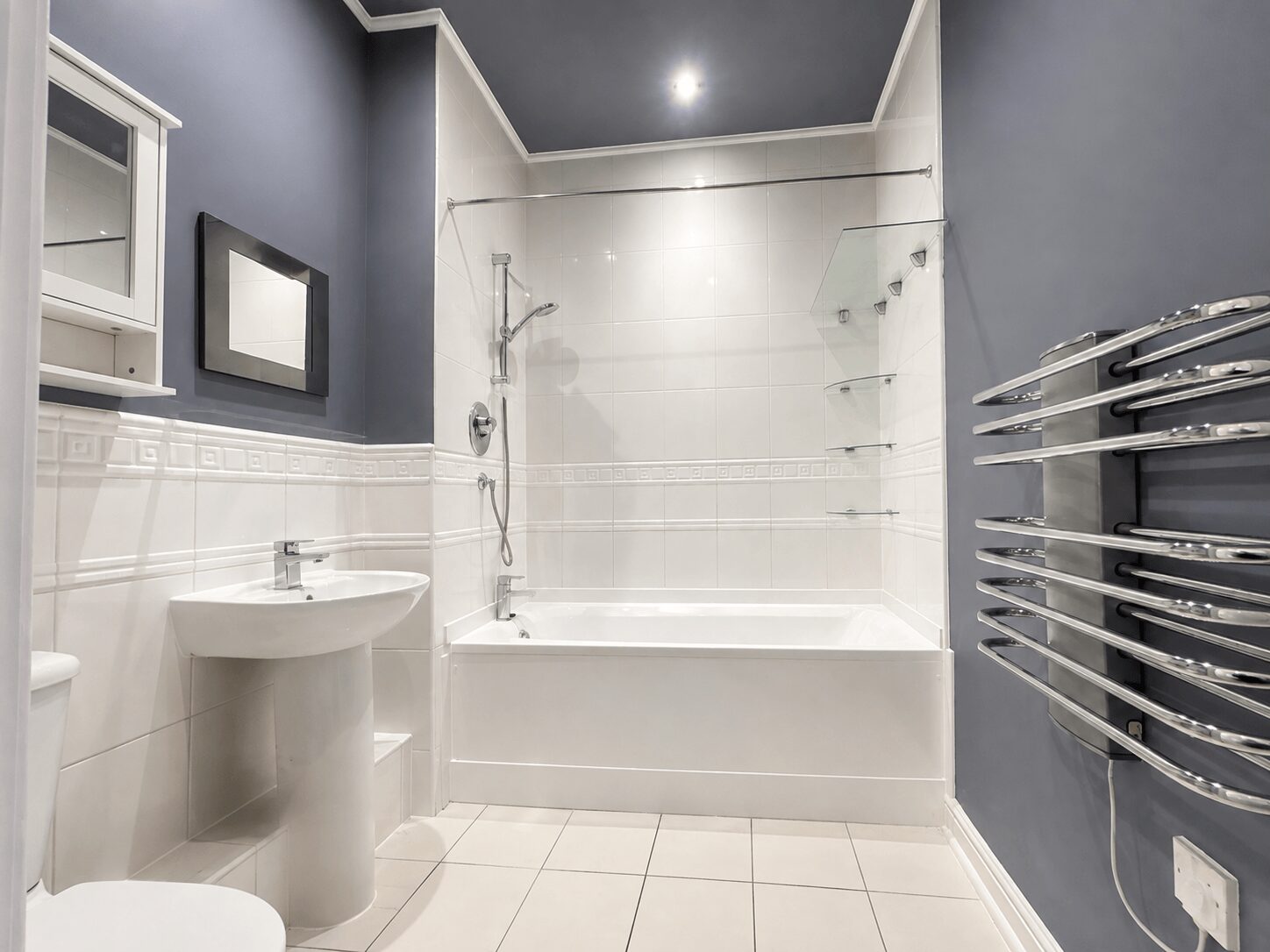
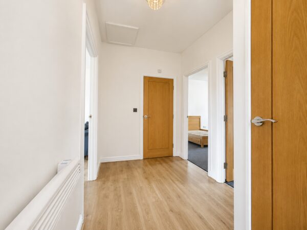
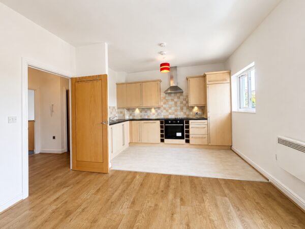
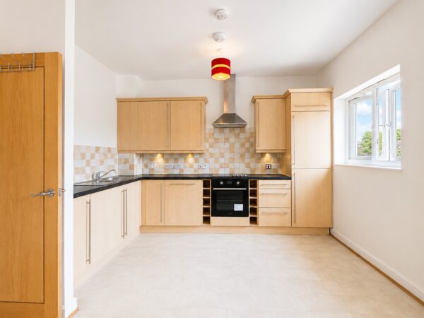
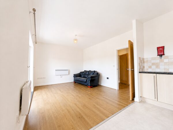
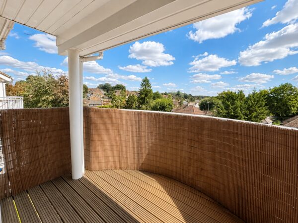
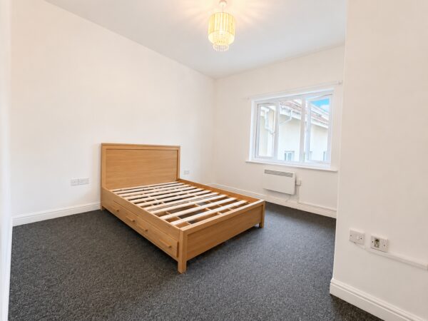
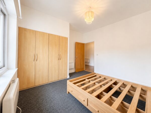
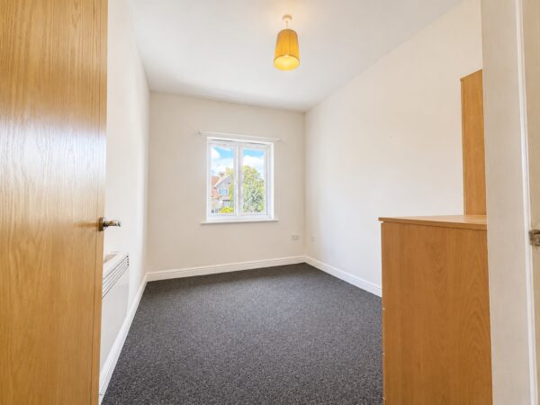
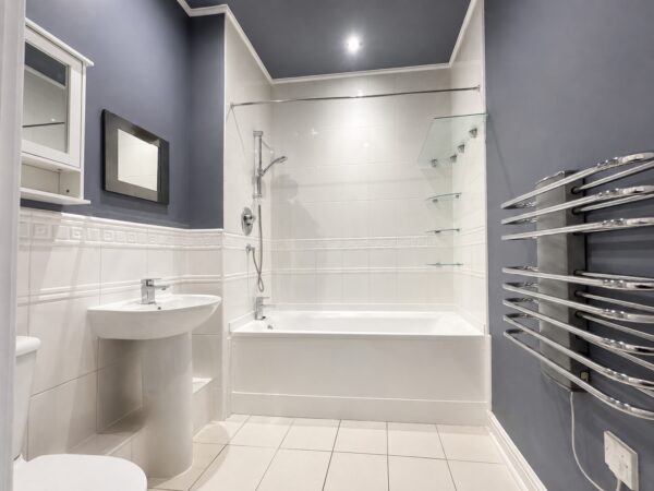
This well-maintained apartment comprises a spacious modern open-plan kitchen and living area with access to a private balcony, a recently renovated bathroom, two generously sized double bedrooms and a useful storage room.
Conveniently positioned next to the popular Hazlemere Parade, the property is within easy reach of a wide range of local shops, cafés, medical surgeries and other everyday amenities.
Further benefits include secure gated residents’ parking with an allocated parking space.
Available immediately on either a furnished or unfurnished basis.
Council Tax Band - C
EPC Rating - D
Rent - £1750 PCM
Deposit - 5 Weeks Rent
Holding Deposit (per tenancy): One week’s rent. This is to reserve a property. Please Note: This will be withheld if any relevant person (including any guarantor(s)) withdraw from the tenancy, fail a Right- to-Rent check, provide materially significant false or misleading information, or fail to sign their tenancy agreement (and / or Deed of Guarantee) within 15 calendar days (or other Deadline for Agreement as mutually agreed in writing). Variation of Contract (Tenant’s Request):£50 (inc. VAT) per agreed variation. To cover the costs associated with taking landlord’s instructions as well as the preparation and execution of new legal documents
Ultrafast / Gigabit Broadband (300+ Mbps)
Strong Indoor & Outdoor 4G / Voice (All Providers)
Based on average Indoor & Outdoor data from the Local Authority
Nearest Local Schools & Transport Links
| School Name | Age | Distance | |
|---|---|---|---|
| Cedar Park School & Nursery | 3-11 | 0.3 mi | |
| Widmer End Community Combined School | 4-11 | 0.6 mi | |
| Hazlemere Church of England Combined School | 3-11 | 0.6 mi | |
| Sir William Ramsay School | 11-18 | 0.7 mi | |
| Holmer Green First School and Pre-School | 5-7 | 0.7 mi | |
| Holmer Green Senior School | 11-18 | 0.8 mi | |
| Manor Farm Junior School | 7-11 | 0.9 mi | |
| Manor Farm Community Infant School | 4-7 | 1.0 mi | |
| Holmer Green Junior School | 7-11 | 1.1 mi | |
| Highworth Combined School and Nursery | 3-11 | 1.3 mi |
| Station Name | Distance | |
|---|---|---|
| High Wycombe Rail Station | 2.4 mi | |
| Great Missenden Rail Station | 3.2 mi | |
| Beaconsfield Rail Station | 4.3 mi | |
| Amersham Underground Station | 4.5 mi | |
| Amersham Rail Station | 4.6 mi | |
| Saunderton Rail Station | 5.1 mi | |
| Chesham Underground Station | 5.4 mi | |
| Seer Green Rail Station | 5.5 mi | |
| Bourne End Rail Station | 5.5 mi | |
| Marlow Rail Station | 6.4 mi |
| Bus Stop Name | Distance | |
|---|---|---|
| adj - Park Parade | 0.0 mi | |
| opp - Park Parade | 0.1 mi | |
| Opp - Park Lane | 0.2 mi | |
| adj - Park Lane | 0.2 mi | |
| Opp 54 - Western Dene | 0.3 mi | |
| o/s 52 - Western Dene | 0.3 mi | |
| o/s 49 - Sawpit Hill | 0.3 mi | |
| o/s 70 - Sawpit Hill | 0.3 mi | |
| o/s 345 - Crossroads | 0.3 mi | |
| o/s 5 - Holmer Green Road | 0.4 mi |
| Airport Name | Distance | |
|---|---|---|
| London Heathrow Airport | 16.8 mi | |
| London Luton Airport | 21.0 mi | |
| London Oxford Airport | 28.6 mi | |
| London City Airport | 34.4 mi | |
| Biggin Hill Airport | 39.1 mi | |
| London Gatwick Airport | 41.9 mi | |
| London Stansted Airport | 44.6 mi | |
| Cambridge Airport | 53.7 mi | |
| Southampton Airport | 56.4 mi | |
| Coventry Airport | 59.0 mi |