2 Bedroom Flat To - High Wycombe
High Wycombe
£1,150 pcm
2 x
1 x
1 x
Department:
Lettings
Reference:
THARAWYC3487
Postcode:
HP12 3BB
Type:
Flat
Marketing Flag:
Recently Let
Availability:
Let Agreed
Receptions:
1
Furnished:
Unfurnished
Deposit:
£1,150
Available Date:
2025-09-25
Council Tax Band:
A
Summary
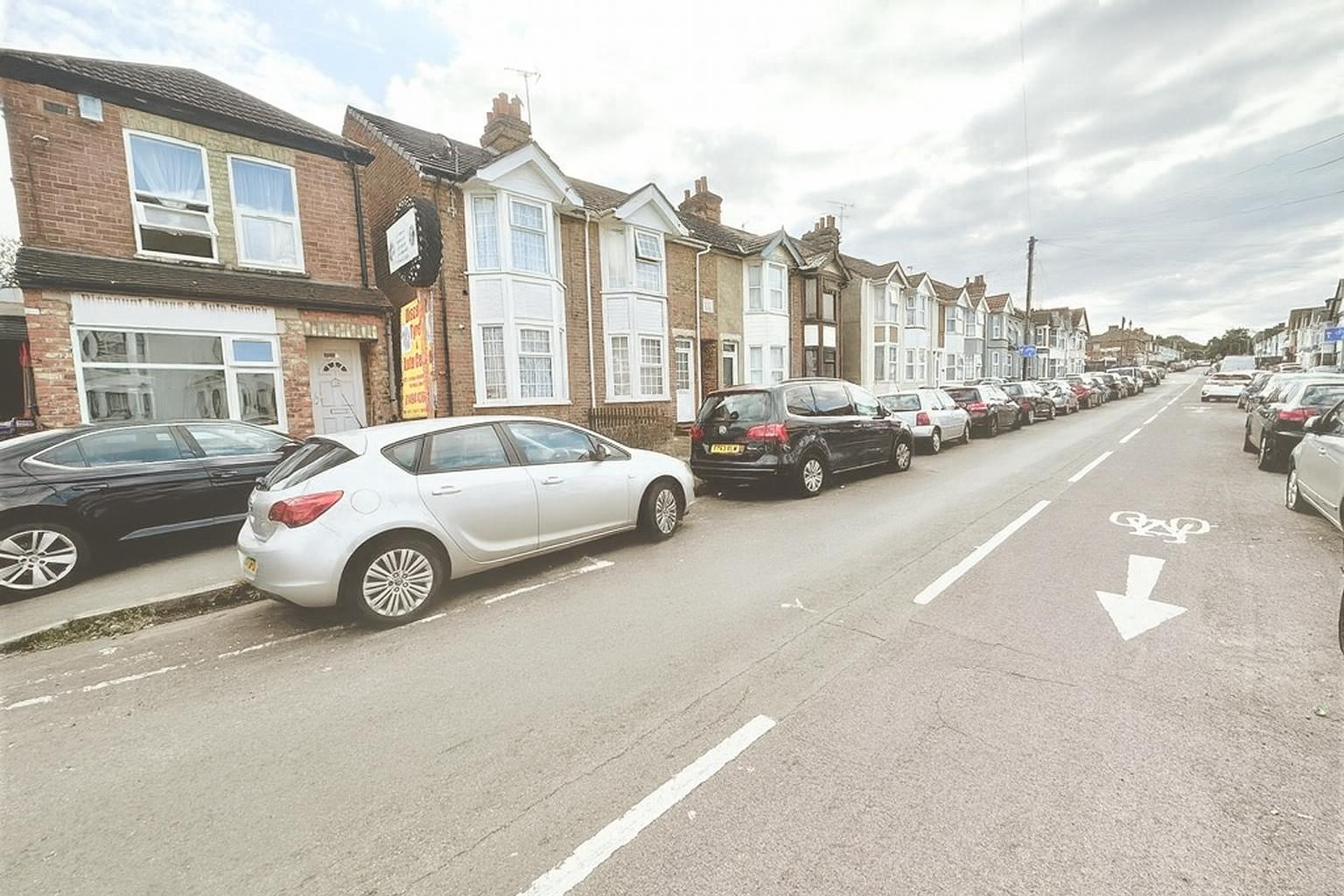
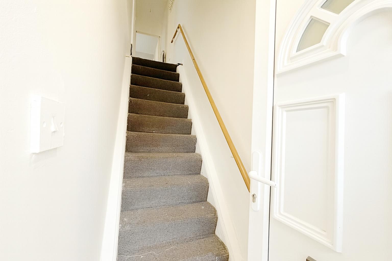
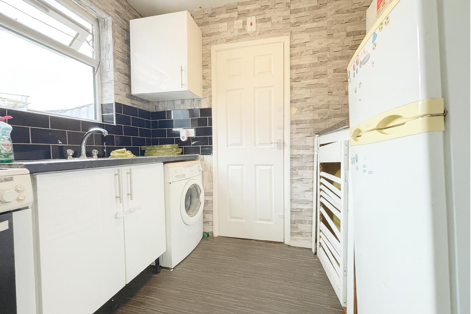
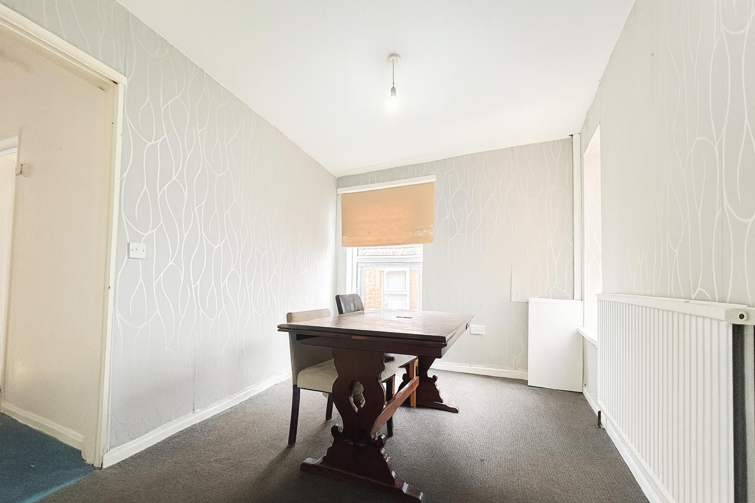
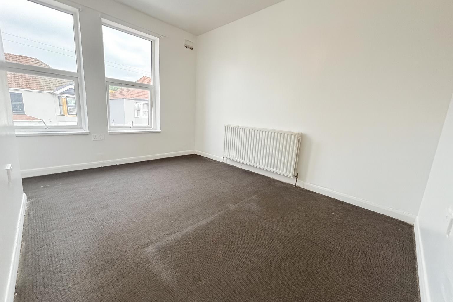
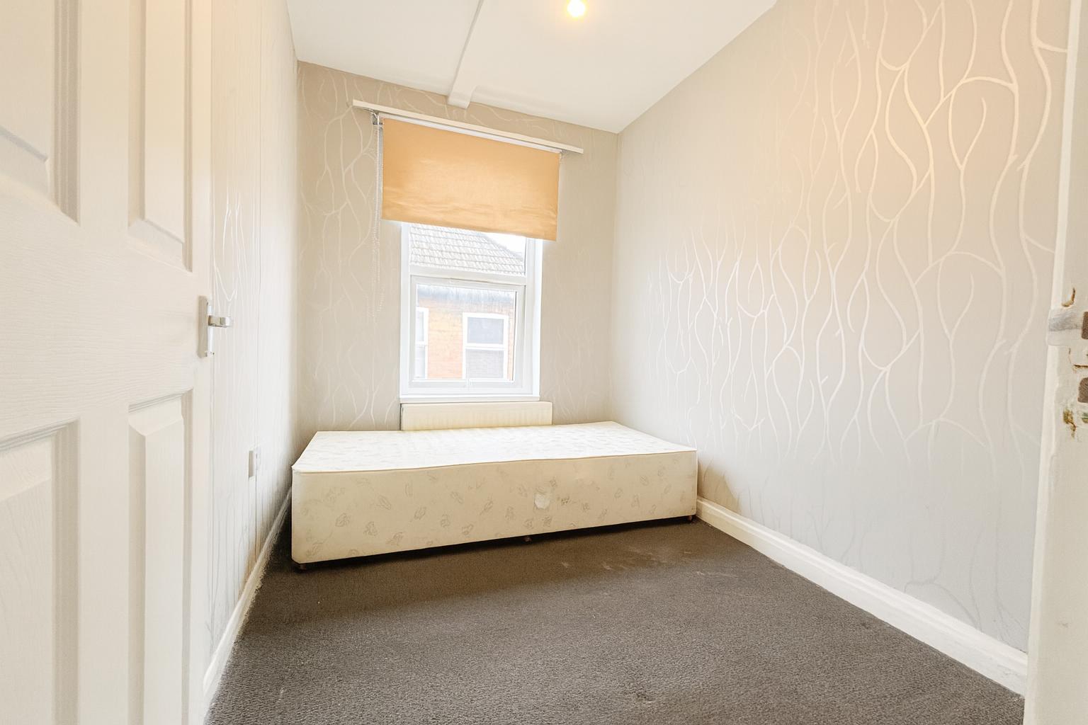
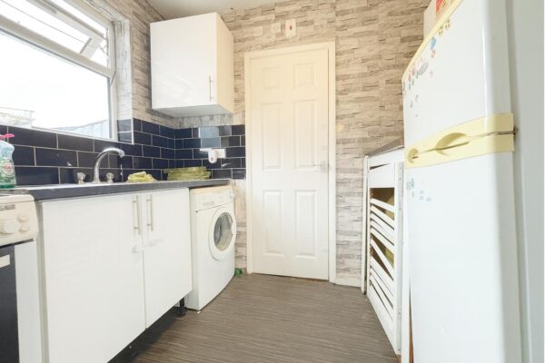
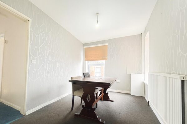
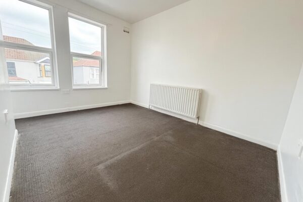
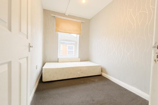
Thara Properties Estate Agent are delighted to present this well-maintained and spacious 2-bedroom first floor flat, ideally located in the heart of High Wycombe.This beautifully kept property features:
- A modern fitted kitchen
- A bright and airy lounge/diner, perfect for relaxing or entertaining
- Two generously sized bedrooms
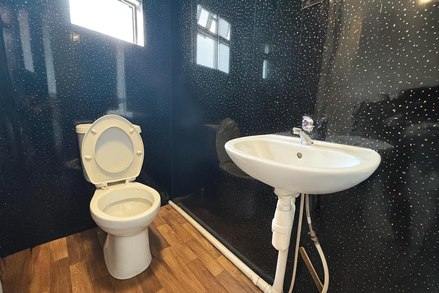
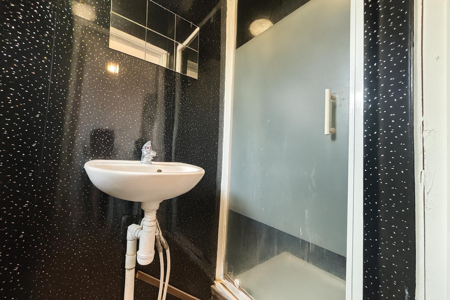
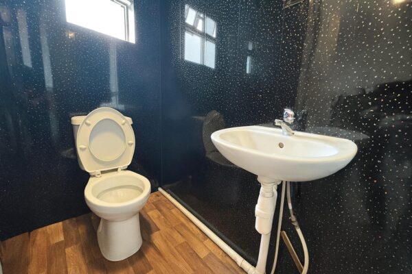
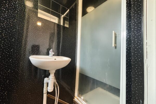
- A contemporary shower room
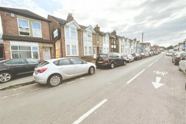
Additional benefits include on-street parking and an unfurnished offering, allowing you to make the space your own.
Situated within walking distance to High Wycombe town centre, local amenities, transport links, and nearby industrial areas, this property is ideal for professionals or small families seeking convenience and comfort.
Council Tax Band - A
EPC Rating - E
Ultrafast / Gigabit Broadband (300+ Mbps)
Strong Indoor & Outdoor 4G / Voice (All Providers)
Based on average Indoor & Outdoor data from the Local Authority
Nearest Local Schools & Transport Links
| School Name | Age | Distance | |
|---|---|---|---|
| Unity College | 11-18 | 0.2 mi | |
| Oakridge School | 2-11 | 0.3 mi | |
| Millbrook Combined School | 3-11 | 0.4 mi | |
| The Disraeli School | 2-11 | 0.5 mi | |
| Castlefield School | 2-11 | 0.7 mi | |
| High Wycombe Church of England Combined School | 4-11 | 0.8 mi | |
| Hamilton Academy | 3-11 | 0.9 mi | |
| Buckinghamshire New University | - | 0.9 mi | |
| Wycombe Abbey | 10-19 | 1.0 mi | |
| Progress Schools - Buckinghamshire | 13-16 | 1.0 mi |
| Station Name | Distance | |
|---|---|---|
| High Wycombe Rail Station | 1.1 mi | |
| Saunderton Rail Station | 3.7 mi | |
| Marlow Rail Station | 4.4 mi | |
| Bourne End Rail Station | 4.7 mi | |
| Great Missenden Rail Station | 5.5 mi | |
| Beaconsfield Rail Station | 5.7 mi | |
| Cookham Rail Station | 5.7 mi | |
| Princes Risborough Rail Station | 6.6 mi | |
| Seer Green Rail Station | 7.2 mi | |
| Furze Platt Rail Station | 7.2 mi |
| Bus Stop Name | Distance | |
|---|---|---|
| Opp - The Half Moon PH | 0.0 mi | |
| adj - The Half Moon PH | 0.1 mi | |
| o/s 17 - Oakridge Road | 0.1 mi | |
| Opp 3 - Oakridge Road | 0.1 mi | |
| Opp 1 - Copyground Lane | 0.2 mi | |
| Opp - Desborough Park Road | 0.2 mi | |
| o/s 84 - Green Street | 0.2 mi | |
| adj - Desborough Park Road | 0.2 mi | |
| opp - Prestwood Close | 0.2 mi | |
| adj - Prestwood Close | 0.2 mi |
| Airport Name | Distance | |
|---|---|---|
| London Heathrow Airport | 17.6 mi | |
| London Luton Airport | 23.9 mi | |
| London Oxford Airport | 27.0 mi | |
| London City Airport | 36.5 mi | |
| Biggin Hill Airport | 40.5 mi | |
| London Gatwick Airport | 42.2 mi | |
| London Stansted Airport | 47.7 mi | |
| Southampton Airport | 53.7 mi | |
| Cambridge Airport | 56.7 mi | |
| Coventry Airport | 58.9 mi |