

4 Bedroom House - High Wycombe
High Wycombe
£2,295 pcm
4 x
2 x
1 x
Department:
Lettings
Reference:
Thara/198716/199876
Postcode:
HP13 5PG
Type:
Semi-Detached House
Availability:
Let Agreed
Receptions:
1
Furnished:
Furnished
Deposit:
£2,295
Available Date:
2023-08-15
Summary
Thara Properties Sales & Lettings proud to present this standard four bedroom house located at Hughenden Road in High Wycombe. This property offers convenient access to the town center, Bucks Uni, Bus Station, Trian Station and essential amenities.The interior features 4 Double bedrooms and living room and two store room. 1 bathroom and 1 shower room is shared by four bedrooms.
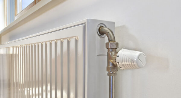
This house also includes off street parking and central heating for added convenience. Located in the bustling area of High Wycombe.
-Basic kitchen with essential appliances
-off street parking
-Central heating
-Convenient location close to the town center with easy access to local shops, restaurants, Train Station, Bucks Uni and transportation.
Ultrafast / Gigabit Broadband (300+ Mbps)
Strong Indoor & Outdoor 4G / Voice (All Providers)
Based on average Indoor & Outdoor data from the Local Authority
Nearest Local Schools & Transport Links
| School Name | Age | Distance | |
|---|---|---|---|
| The Royal Grammar School, High Wycombe | 11-18 | 0.5 mi | |
| Godstowe Preparatory School | 2-14 | 0.5 mi | |
| The Disraeli School | 2-11 | 0.6 mi | |
| Aspire | 11-18 | 0.6 mi | |
| Hamilton Academy | 3-11 | 0.6 mi | |
| Unity College | 11-18 | 0.9 mi | |
| Buckinghamshire New University | - | 1.0 mi | |
| High Wycombe Church of England Combined School | 4-11 | 1.0 mi | |
| Highworth Combined School and Nursery | 3-11 | 1.1 mi | |
| The Chalfonts Independent Grammar School | 3-18 | 1.1 mi |
| Station Name | Distance | |
|---|---|---|
| High Wycombe Rail Station | 0.9 mi | |
| Saunderton Rail Station | 4.0 mi | |
| Great Missenden Rail Station | 4.6 mi | |
| Bourne End Rail Station | 4.8 mi | |
| Marlow Rail Station | 4.9 mi | |
| Beaconsfield Rail Station | 5.1 mi | |
| Cookham Rail Station | 5.9 mi | |
| Seer Green Rail Station | 6.5 mi | |
| Amersham Underground Station | 6.5 mi | |
| Amersham Rail Station | 6.6 mi |
| Bus Stop Name | Distance | |
|---|---|---|
| adj - Coates Lane | 0.0 mi | |
| opp - Coates Lane | 0.1 mi | |
| opp - Hughenden Avenue | 0.2 mi | |
| adj - Hughenden Avenue | 0.2 mi | |
| Opp - The Beaconsfield Arms PH | 0.2 mi | |
| adj - The Beaconsfield Arms PH | 0.3 mi | |
| o/s 26 - Telford Way | 0.3 mi | |
| Opp 2 - Telford Way | 0.4 mi | |
| Opp - Telford Way Spur | 0.4 mi | |
| Southbound - Ridge Way | 0.5 mi |
| Airport Name | Distance | |
|---|---|---|
| London Heathrow Airport | 17.3 mi | |
| London Luton Airport | 23.0 mi | |
| London Oxford Airport | 27.5 mi | |
| London City Airport | 35.8 mi | |
| Biggin Hill Airport | 40.0 mi | |
| London Gatwick Airport | 42.1 mi | |
| London Stansted Airport | 46.7 mi | |
| Southampton Airport | 54.6 mi | |
| Cambridge Airport | 55.7 mi | |
| Coventry Airport | 58.9 mi |