

3 Bed-Terraced, Forgetts Road, Lane End, HP14 3DZ
High Wycombe
£375,000 OIRO
3 x
2 x
2 x
Department:
Sales
Reference:
0030014
Postcode:
HP14 3DZ
Type:
Terraced House
Marketing Flag:
Chain Free, New Instruction
Availability:
Sold
Receptions:
2
Tenure:
Freehold
Council Tax Band:
C
Summary
A modernised three-bedroom terraced home situated in a convenient location close to local shops, a primary school, and open countryside, with bus routes providing easy access to neighbouring towns.The property features well-maintained gardens to both the front and rear. Inside, the accommodation includes three bedrooms, a cloakroom, and two modern bathrooms. The bright double-aspect living room provides a spacious and comfortable living area, while the kitchen/breakfast room offers a practical space for everyday dining.
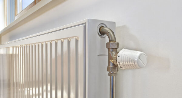
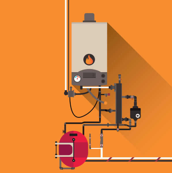
Additional benefits include gas central heating, double glazing throughout, and a single garage. The property has been modernised throughout and is presented in excellent condition.
EPC : C
Floor Plans

EPC

Ultrafast / Gigabit Broadband (300+ Mbps)
Strong Indoor & Outdoor 4G / Voice (All Providers)
Based on average Indoor & Outdoor data from the Local Authority
Nearest Local Schools & Transport Links
| School Name | Age | Distance | |
|---|---|---|---|
| Lane End Primary School | 2-11 | 0.1 mi | |
| Frieth Church of England Combined School | 4-11 | 1.4 mi | |
| Progress Schools - Buckinghamshire | 13-16 | 1.7 mi | |
| Booker Hill Primary School & Nursery | 3-11 | 1.8 mi | |
| Cadmore End CofE School | 3-11 | 1.8 mi | |
| Cressex Community School | 11-18 | 2.0 mi | |
| West Wycombe School | 4-11 | 2.0 mi | |
| Castlefield School | 2-11 | 2.1 mi | |
| Chepping View Primary Academy | 4-11 | 2.4 mi | |
| Kite Ridge School | 11-19 | 2.4 mi |
| Station Name | Distance | |
|---|---|---|
| High Wycombe Rail Station | 3.7 mi | |
| Saunderton Rail Station | 3.8 mi | |
| Marlow Rail Station | 4.4 mi | |
| Bourne End Rail Station | 5.9 mi | |
| Cookham Rail Station | 6.4 mi | |
| Henley-on-Thames Rail Station | 6.7 mi | |
| Princes Risborough Rail Station | 6.8 mi | |
| Furze Platt Rail Station | 7.5 mi | |
| Great Missenden Rail Station | 7.7 mi | |
| Shiplake Rail Station | 7.9 mi |
| Bus Stop Name | Distance | |
|---|---|---|
| adj - Tapping Road | 0.0 mi | |
| opp - Tapping Road | 0.0 mi | |
| Eastbound - Archers Way | 0.1 mi | |
| Northbound - Archers Way | 0.1 mi | |
| Opp - Slayter Road | 0.1 mi | |
| adj - Slayter Road | 0.1 mi | |
| Eastbound - Simmons Way | 0.1 mi | |
| Opp - Blackwell Road | 0.1 mi | |
| adj - Widdenton View | 0.2 mi | |
| Opp - Widdenton View | 0.2 mi |
| Airport Name | Distance | |
|---|---|---|
| London Heathrow Airport | 19.1 mi | |
| London Oxford Airport | 25.4 mi | |
| London Luton Airport | 26.4 mi | |
| London City Airport | 38.8 mi | |
| Biggin Hill Airport | 42.2 mi | |
| London Gatwick Airport | 43.1 mi | |
| London Stansted Airport | 50.4 mi | |
| Southampton Airport | 51.7 mi | |
| Coventry Airport | 58.5 mi | |
| Cambridge Airport | 59.1 mi |